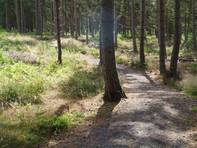
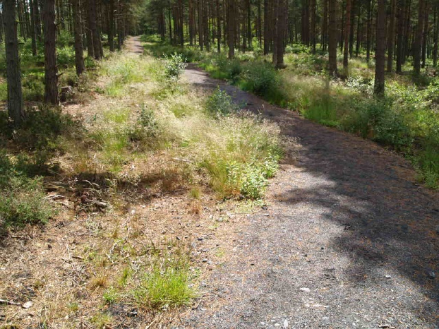
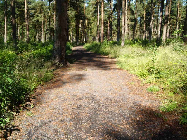
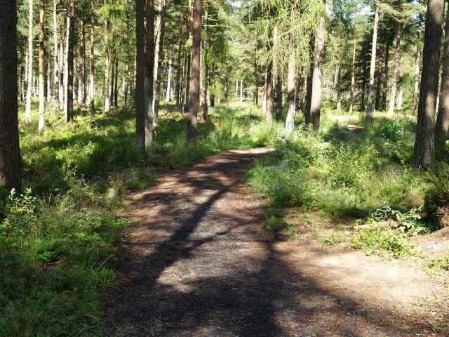
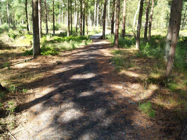
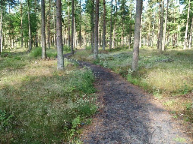
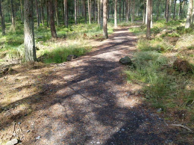
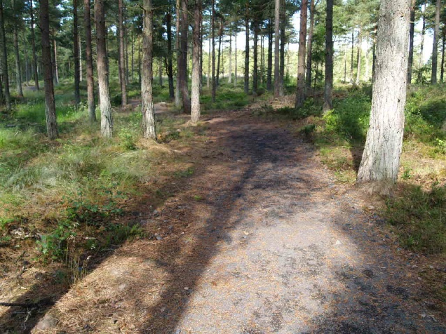
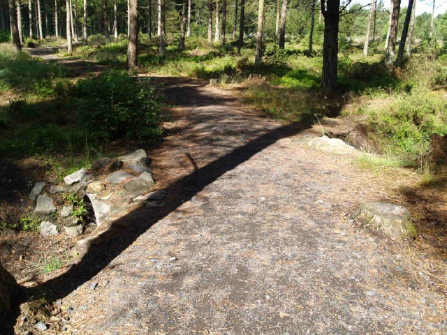
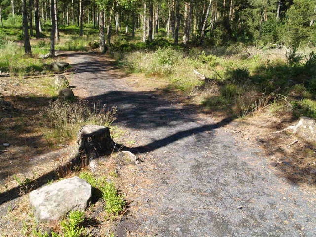
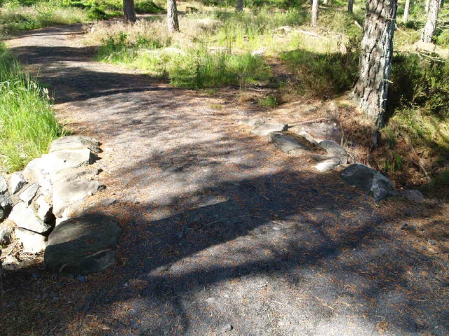
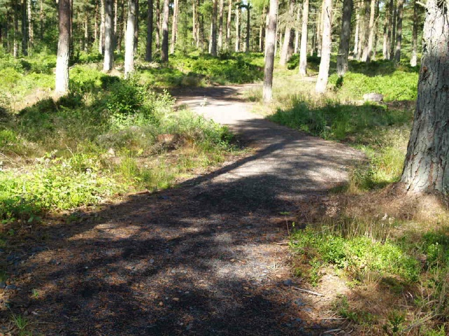
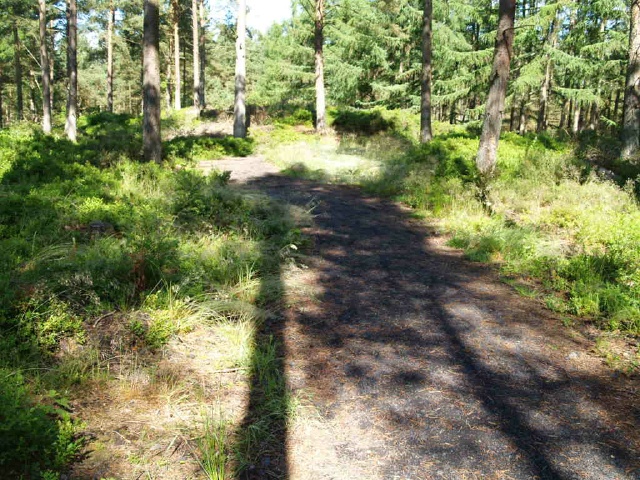
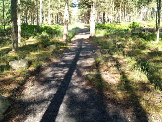
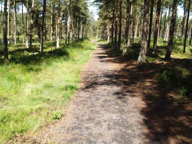
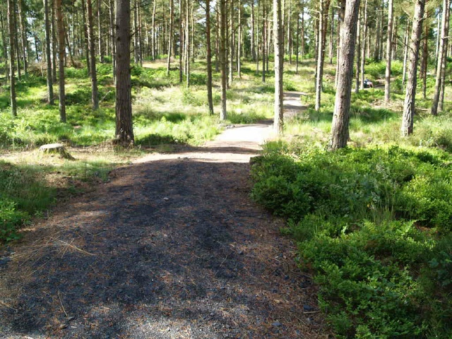
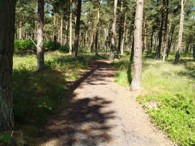
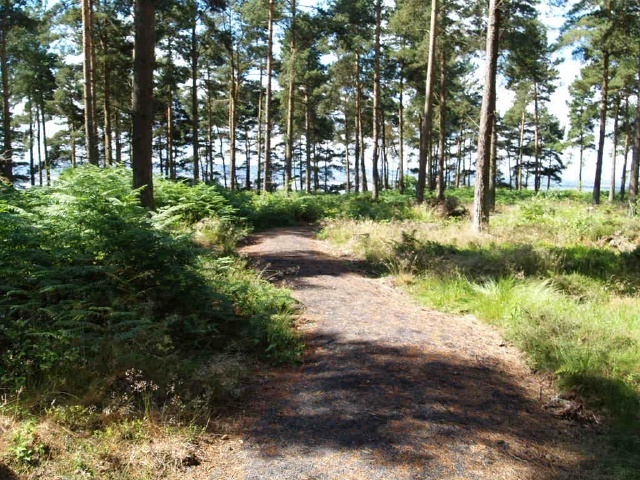
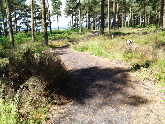
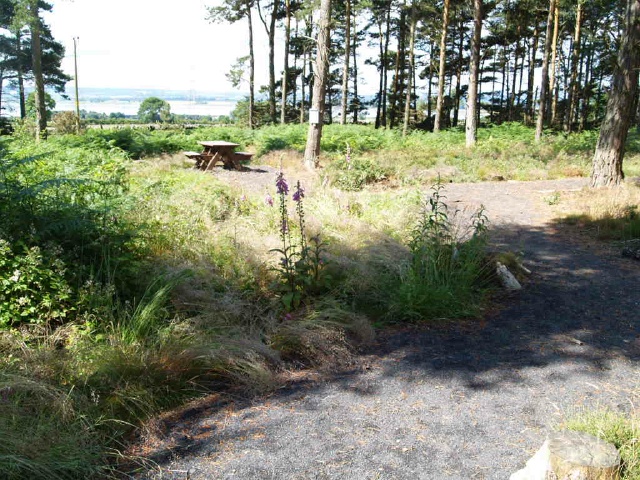
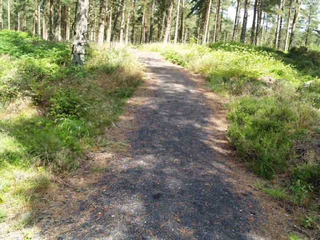
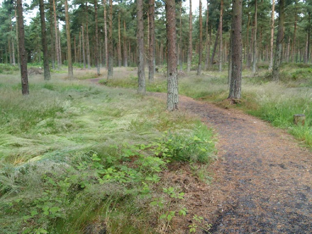
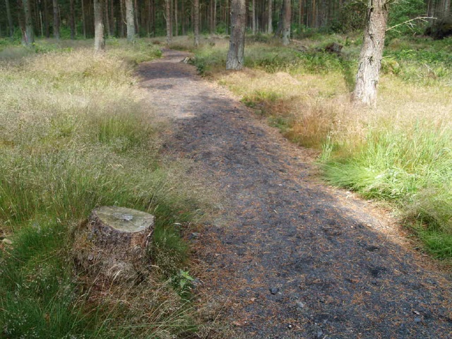
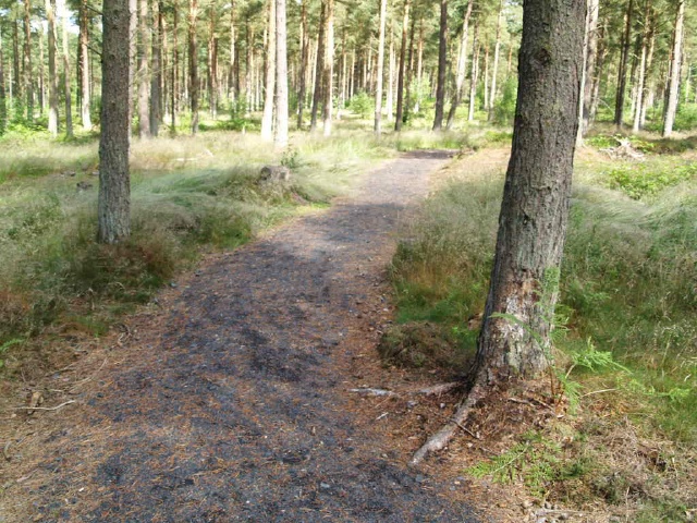
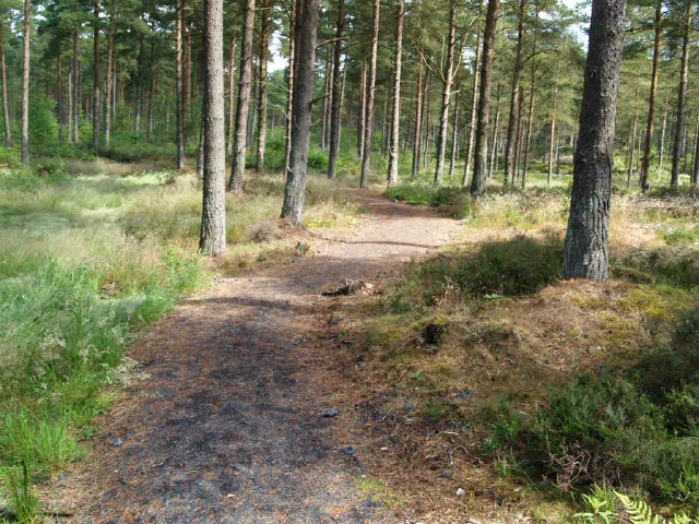
The Red Squirrel Walk is through open pine woodland where there is every chance of seeing red squirrels. It follows a path with a good surface with only one or two uneven stretches. There are several short slopes on the circuit around the loch, as steep as 19% (1:5) for 10m but the picnic area can be reached without passing the worst of the gradients. The start of the walk is in the car parking area on the A985 between Dunfermline and Kincardine at Ordnance Survey Grid Reference NS 964 870
| OVERALL RATING: GREEN | ||
| Path Surfaces: | ||
| Maximum Climbing Gradient: | 1 - GREEN | 2% |
| Maximum Descending Gradient: | 1 - GREEN | -1% |
| Total Elevation Gain: | 15 metres | |
| Distance: | ||


 is of crushed stone and may have puddles after wet weather.The walks starts by the green barrier at the back of the car park.")


")
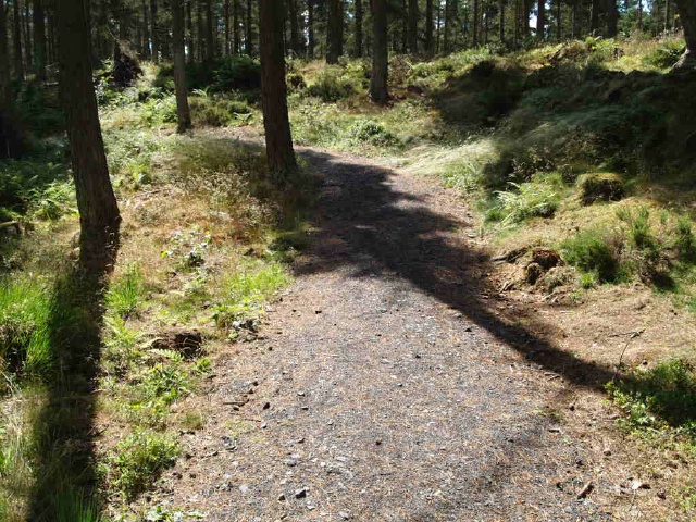
 for about 70m.")

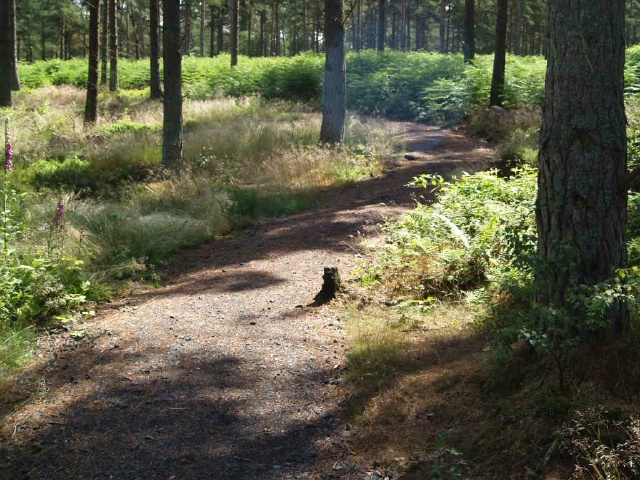
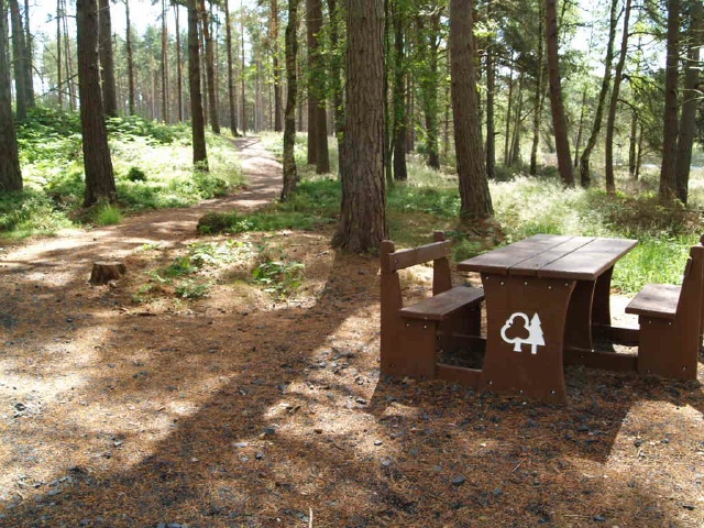
 leading to the first picnic bench. This is the first of eight seats around the pond loop. Check out the tags on the map to see hpow they are spaced out.")
 for a short distance.")

 for 30m or so.")
 for 5m.")

 for about 10m.")


 for about 10m")


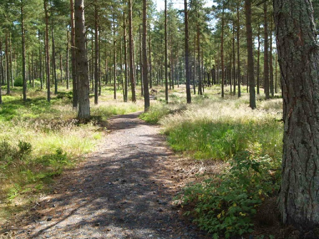


 for about 35m.")