Route Filmstrip & Description
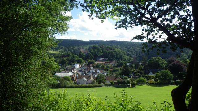
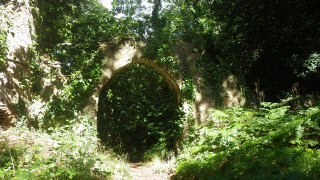
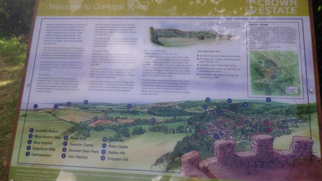
Conygar Wood circuit explores an area of woodland above Dunster and visits two follies built by the Luttrell family in the 18th Century.
Surveyed by: Exmoor National Park Authority Volunteer, September 2015
(Autumn)
Accessibility Rating: 5
Distance: 1.7 km
Car Park: There is a large car park off the A396 and another in the grounds of Dunster Castle, a National Trust property.
Steps: There are two areas with steps giving a total of about 20 to be negotiated. The height is varied with a maximum of 30cm.
Barriers: No
Toilets: Public toilets next to the main car park.


The route leaves the car park from the south (close to the public conveniences) and heads towards the National Park Information Centre.

There are two smaller tarmac roads but the route takes a path between these. From this point, the circuit is clearly signposted with green waymarks.

A narrow footpath (1m) 
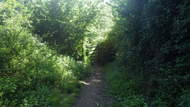
runs alongside a hedge and climbs gently. After 100m, there is a kissing gate (60cm clearance).

At the end of the clearing there is a fork. The circuit takes the track to the left and begins to climb (30%).

The track turns right as it approaches a man-made structure known as the Arches. This was built in the 18th Century to enhance the Luttrell (Dunster Castle) estate.

From the top of the steps, the path is narrow and has some exposed roots. There are four further steps (two down, two up).

In 150m, there is a junction where a better path is encountered. The circuit goes straight ahead towards Conygar Tower (signposted).

Conygar Tower is another folly built for the Luttrell estate in 18th Century. The tower is hollow but gives good all round views.
Dunster Conygar Wood Circuit Phototrail
Map Markers
The route is shown as a red line. You can show or hide the types of points indicated on the map using the checkboxes below.
Show All Trail Points | Show No Trail Points | Show Summary
Accessibility Info | Amenities Info | Facilities Info | Features Info | Way Finding Info | ||||||||||||||||||||||||||||||||||||||||||||||||||||||||||||||||||||||||||||||||||||||||||||||||||||||||||
---|---|---|---|---|---|---|---|---|---|---|---|---|---|---|---|---|---|---|---|---|---|---|---|---|---|---|---|---|---|---|---|---|---|---|---|---|---|---|---|---|---|---|---|---|---|---|---|---|---|---|---|---|---|---|---|---|---|---|---|---|---|---|---|---|---|---|---|---|---|---|---|---|---|---|---|---|---|---|---|---|---|---|---|---|---|---|---|---|---|---|---|---|---|---|---|---|---|---|---|---|---|---|---|---|---|---|---|---|---|---|
|
|
|
|
|
A map of the route is shown above -
- click on any marker point to view a photograph and the description of that point
- to zoom in or out use the navigation tool on the top-left of the map
- click and drag to change the centre of the map
- you can change to map/terrain/satellite/hybrid (satellite + map) views using the control on the top-right of the map
Route directions are shown below the map.
- Click on any marker icon in this list to highlight that point on the map and show a photo of that spot.
Got something to say about this Phototrail? Let us know!
Vertical Profile
This is an approximate vertical profile with samples taken at 100m intervals along the trail.
