Route Filmstrip & Description
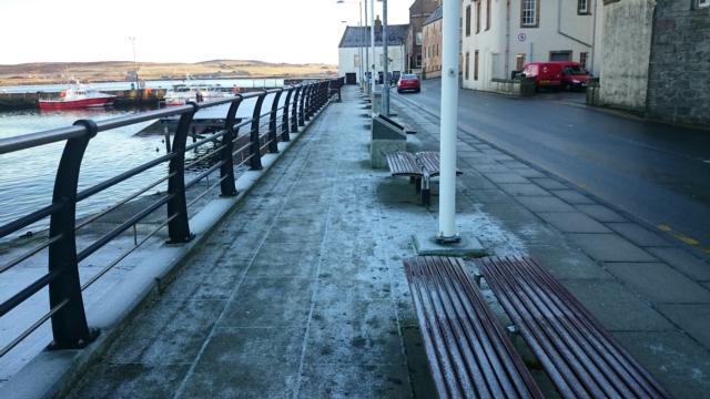
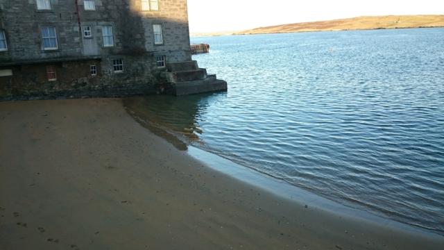
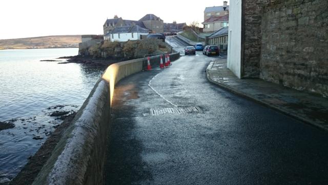
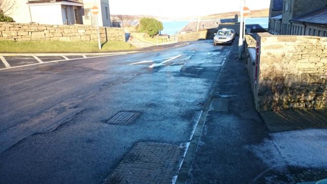
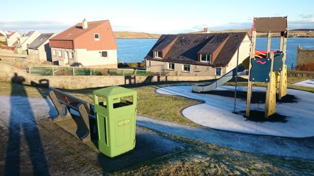
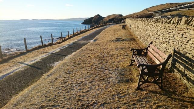
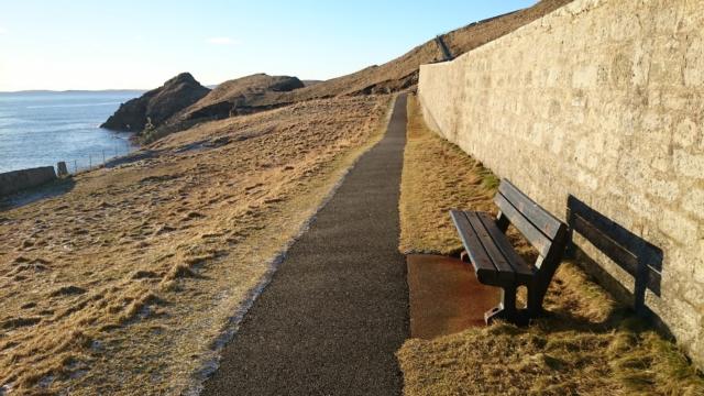
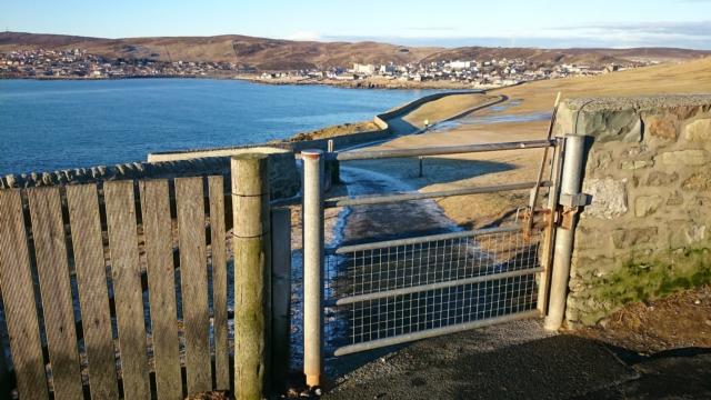
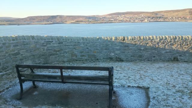
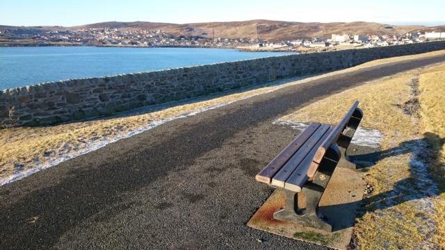
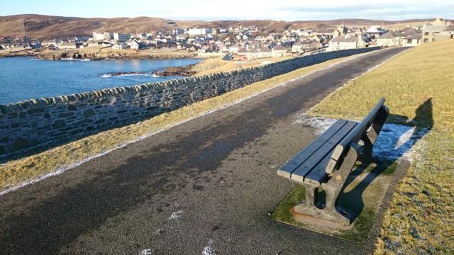
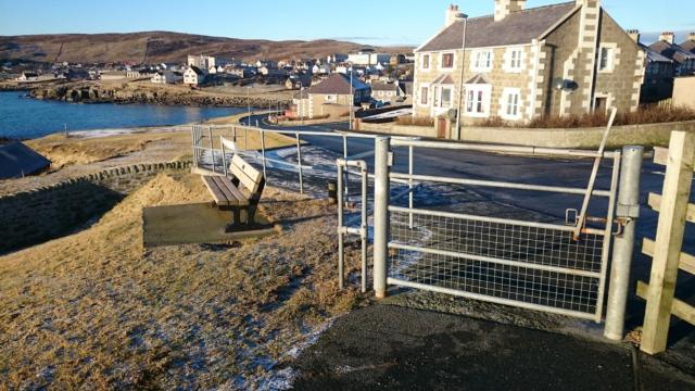
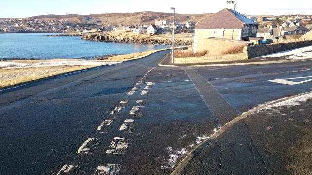
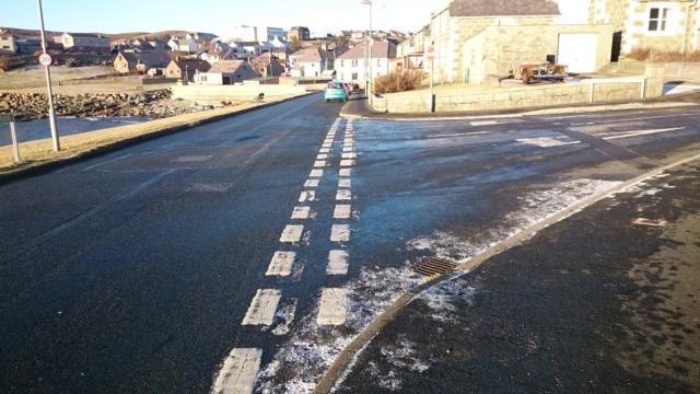
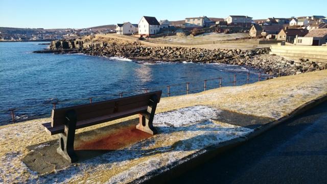
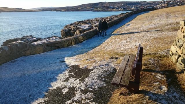
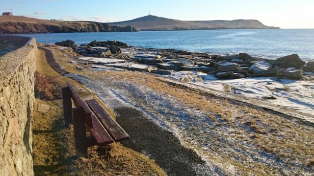
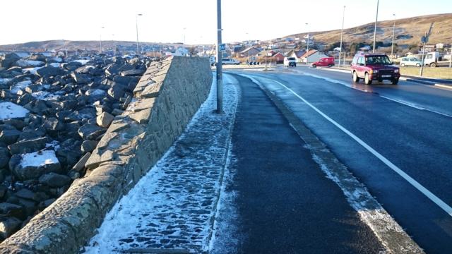
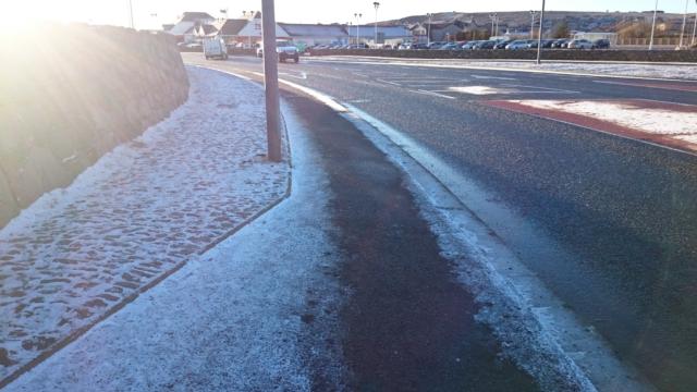
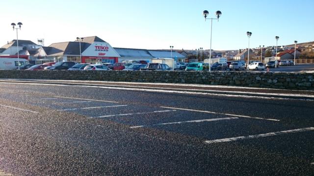
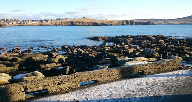
This is a 3.3km coastal walk on a mix of flagstone and tarmac paths from Victoria Pier in Lerwick via The Knab to Seafield. There are several steep sections of path at around 12% and one of up to 20% for up to 200m. The path is restricted to 800mm in one location at the Knab, but is generally no less than 1200mm with numerous benches along the way. On the walk you can enjoy coastal views and wildlife with views across to Bressay. There are sites of historical significance with interpretation panels at The Knab
Surveyed by: Kevin Serginson, January 2016
(Winter)
Accessibility Rating: 4
Distance: 3.0 km
Car Park: There is ample parking at both ends of the route.
Steps: No
Barriers: There are 4 gates which are all wheel chair accessible, though 2 are not ideal.
Toilets: There are public toilets at the start of the route and toilets in Tesco and Fjara Café at the end.

Lerwick Coastal Path Phototrail
Map Markers
The route is shown as a red line. You can show or hide the types of points indicated on the map using the checkboxes below.
Show All Trail Points | Show No Trail Points | Show Summary
Accessibility Info | Amenities Info | Facilities Info | Features Info | Way Finding Info | ||||||||||||||||||||||||||||||||||||||||||||||||||||||||||||||||||||||||||||||||||||||||||||||||||||||||||
---|---|---|---|---|---|---|---|---|---|---|---|---|---|---|---|---|---|---|---|---|---|---|---|---|---|---|---|---|---|---|---|---|---|---|---|---|---|---|---|---|---|---|---|---|---|---|---|---|---|---|---|---|---|---|---|---|---|---|---|---|---|---|---|---|---|---|---|---|---|---|---|---|---|---|---|---|---|---|---|---|---|---|---|---|---|---|---|---|---|---|---|---|---|---|---|---|---|---|---|---|---|---|---|---|---|---|---|---|---|---|
|
|
|
|
|
A map of the route is shown above -
- click on any marker point to view a photograph and the description of that point
- to zoom in or out use the navigation tool on the top-left of the map
- click and drag to change the centre of the map
- you can change to map/terrain/satellite/hybrid (satellite + map) views using the control on the top-right of the map
Route directions are shown below the map.
- Click on any marker icon in this list to highlight that point on the map and show a photo of that spot.
Got something to say about this Phototrail? Let us know!
Vertical Profile
This is an approximate vertical profile with samples taken at 100m intervals along the trail.
