Route Filmstrip & Description
Validated by Fieldfare
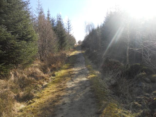
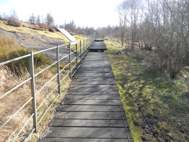
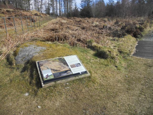
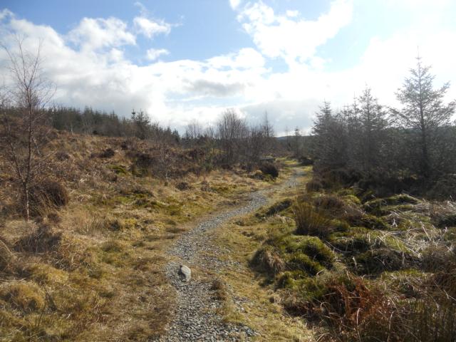
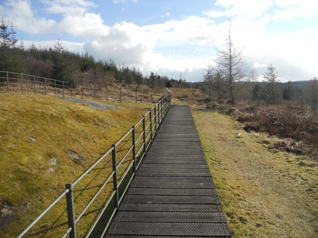
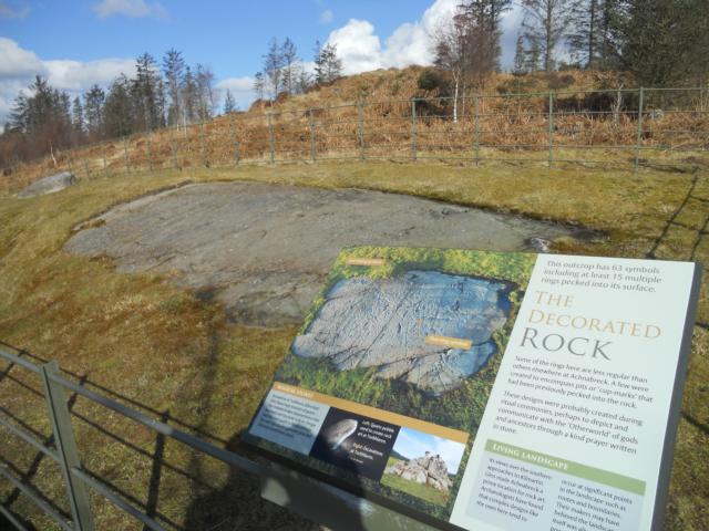
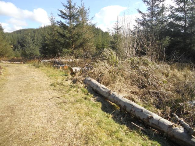
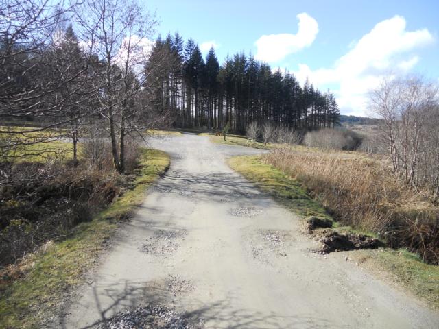
This trail contains a steady uphill on well-worn, uneven tracks but visitors are rewarded on two counts: firstly, breaking through the forest plantation are some wonderful views to Lochgilpead and beyond. Secondly, the site contains probably the best example of several sets of 'Cup and Ring' stone markings in Britain, estimated to be 4,000 years old.
Surveyed by: Joe Penfold, March 0013
(Spring)
Accessibility Rating: 5
Distance: 1.7 km
Car Park: Yes
Steps: A number of large steps exist between boardwalk sections alongside the Cup and Ring markings.
Barriers: No
Toilets: No


Achnabreac is in Kilmichael Forest and is about two and a half miles north of Lochgilphead on the A816. OS Grid Reference: NR852909

There are a number of parking spaces and options available. However, no parking bays have been allocated for blue badge holders.

There is a small picnic area beside the car park which looks towards the small village of Cairnbaan and the Crinan Canal.

The start of the trail involves a steep ascent on an uneven path. The gradient is approximately 20% /1:5 over a distance of 15 metres.

A steep and sustained uphill section is followed for approximately 200m. The gradient averages 20% / 1:5.

The boardwalk gives an elevated view of the mysterious Cup and Ring markings, but some visitors may find the steep ascent to them difficult, as well as the steps on to the boardwalk.

The trail leads to probably the most extensive set of cup and ring marked rocks in Britain.
The markings are believed to have been made over 4000 years ago. The importance of this site and the reasons for the carvings remains a topic of speculation.
Achnabreac Phototrail
Map Markers
The route is shown as a red line. You can show or hide the types of points indicated on the map using the checkboxes below.
Show All Trail Points | Show No Trail Points | Show Summary
Accessibility Info | Amenities Info | Facilities Info | Features Info | Way Finding Info | ||||||||||||||||||||||||||||||||||||||||||||||||||||||||||||||||||||||||||||||||||||||||||||||||||||||||||
---|---|---|---|---|---|---|---|---|---|---|---|---|---|---|---|---|---|---|---|---|---|---|---|---|---|---|---|---|---|---|---|---|---|---|---|---|---|---|---|---|---|---|---|---|---|---|---|---|---|---|---|---|---|---|---|---|---|---|---|---|---|---|---|---|---|---|---|---|---|---|---|---|---|---|---|---|---|---|---|---|---|---|---|---|---|---|---|---|---|---|---|---|---|---|---|---|---|---|---|---|---|---|---|---|---|---|---|---|---|---|
|
|
|
|
|
A map of the route is shown above -
- click on any marker point to view a photograph and the description of that point
- to zoom in or out use the navigation tool on the top-left of the map
- click and drag to change the centre of the map
- you can change to map/terrain/satellite/hybrid (satellite + map) views using the control on the top-right of the map
Route directions are shown below the map.
- Click on any marker icon in this list to highlight that point on the map and show a photo of that spot.
Got something to say about this Phototrail? Let us know!
Vertical Profile
This is an approximate vertical profile with samples taken at 100m intervals along the trail.
