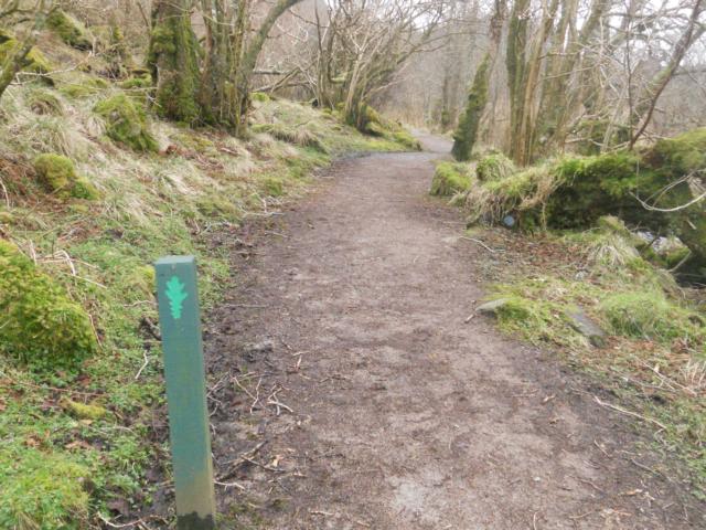
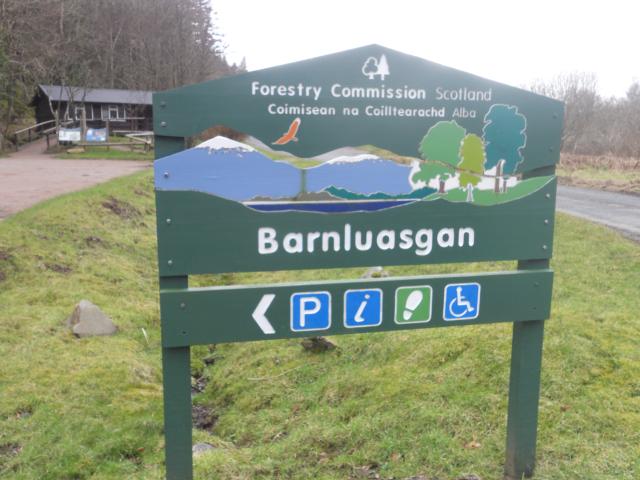
Barnluasgan Trail can be started from Barnluasgan Information Centre in Knapdale Forest (OS Grid Reference: NR790909) . Lochgilphead is the nearest town or village. Works were underway on the date of the visit, so the paths may be more accessible presently. The Trail is particularly good for children due to the 'wildlife detective' interpretation and the accessible birdhide.
| OVERALL RATING: BLUE | ||
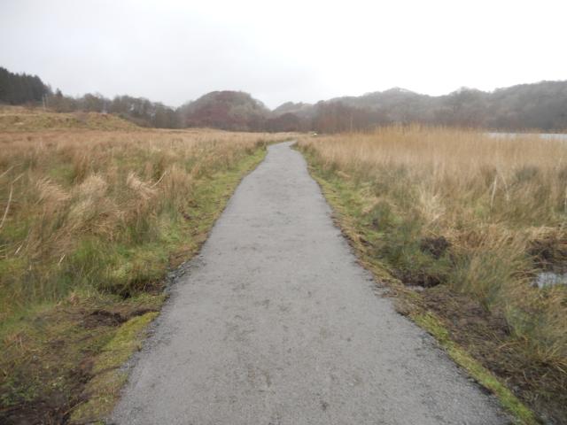
| Path Surfaces: | ||
| Maximum Climbing Gradient: | 2 - BLUE | 5% |
| Maximum Descending Gradient: | 2 - BLUE | -5% |
| Total Elevation Gain: | 27 metres | |
| Distance: | ||


 is the most accessible section of the path.")


.")