This is a short walk along a wide packed gravel road through the Woodlands (a heritage landscape) of Chargot Woods and down a short, but relatively steep loose-stone path to see great views of the Somerset hills and see the restored Bearland Wood Ventilation Flue that forms part of the heritage iron-mining industry and community that existed on the Brendon Hills 150 years ago. A pleasant walk with the local history explained on well presented information boards maintained by the West Somerset Mineral Line Association. For further information and additional walks - including guided tours - visit their website at www.wsmla.org.uk
| OVERALL RATING: RED | ||
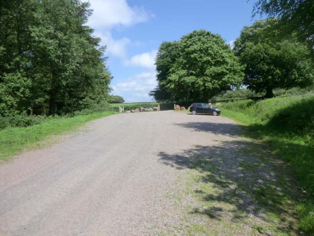
| Path Surfaces: | ||
| Maximum Climbing Gradient: | 3 - ORANGE | 9% |
| Maximum Descending Gradient: | 4 - RED | -14% |
| Total Elevation Gain: | 55 metres | |
| Distance: | ||


. After approx 40 metres the path turns gently to the right.")

.")

.")


 retrace your steps: this is a view from the Ventilation Flue viewing area looking east towards the first bench at the bottom of the slope.")
.")