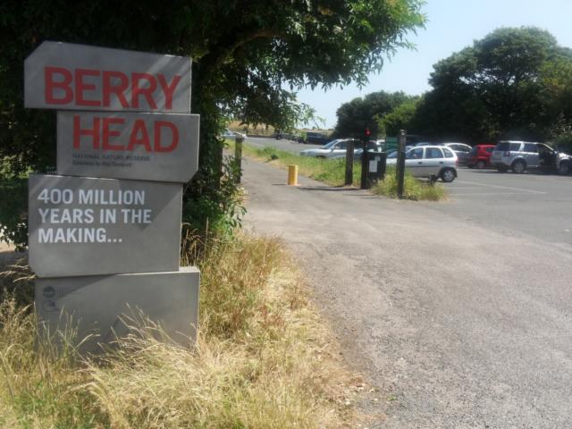
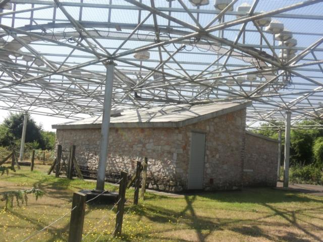
Berry Head is Torbay's most important wildlife site, with many rare plants dependent upon the thin soils, mild climate and exposed conditions of the headland. The high cliffs are home to large numbers of nesting seabirds and it is a good place to spot sea mammals. The walk also visits the two Napoleonic war forts that dominate the headland, and Britain’s highest and smallest lighthouse. It is looked after by the Torbay Coast & Countryside Trust.
| OVERALL RATING: RED | ||
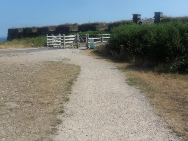
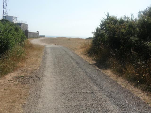
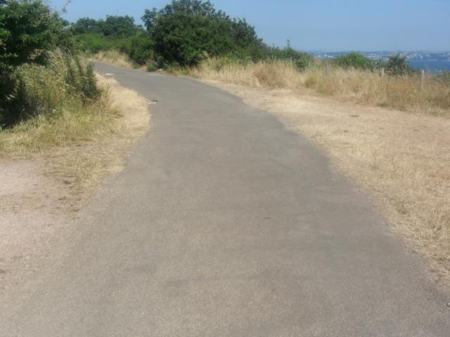
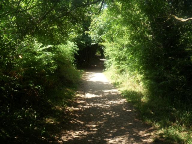
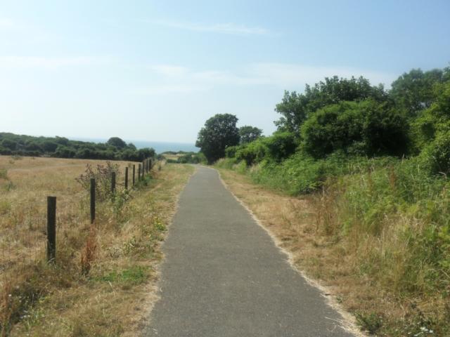
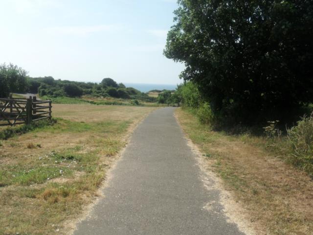
| Path Surfaces: | ||
| Maximum Climbing Gradient: | 4 - RED | 14% |
| Maximum Descending Gradient: | 4 - RED | -13% |
| Total Elevation Gain: | 53 metres | |
| Distance: | ||


 leads to the viewpoint that looks directly across to the guillemot colony on the cliffs
below the Southern Fort.")


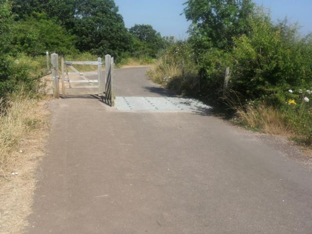


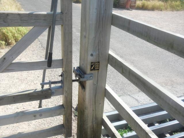
 is 1.2 metres.")