Route Filmstrip & Description
Approved by Fieldfare
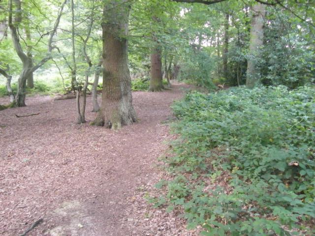
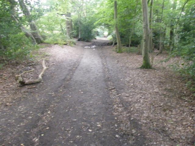
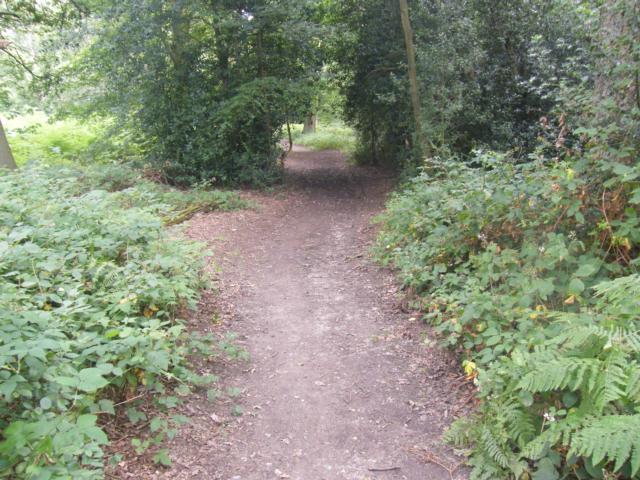
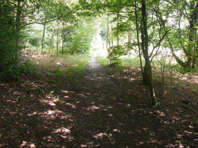
Fir and Pond Woods is widely thought to be the best remaining part of Enfield Chase – an ancient royal hunting ground that covered over 3,000 hectares. The reserve contains diverse habitats including oak-hornbeam woodland, an ancient meadow, and a medieval fish pond. The woods are rich in birdlife including woodpeckers, warblers and tits. The ancient meadow features a large number of old anthills and is rich in invertebrates, including butterflies, grasshoppers and crickets. There are two benches, one overlooking a small pond and the other overlooking the meadow. The path follows consistent steep gradients, especially after route passes the meadow; most severe gradients are steeper than 1:6 (16.7%).
Surveyed by: Sarah Buckingham, July 2014
(Summer)
Accessibility Rating: 4
Distance: 0.8 km
Car Park: A small roadside lay-by for several vehicles, unsurfaced and potholed.
Steps: No
Barriers: Two kissing gates, one with very narrow exit, less than 80cm wide between it and wooden bridge.
Toilets: No


Immediately as route begins surface becomes uneven. Surface was hard when surveyed in summer. Surface is composed of compacted soil.

Less than 10 metres in surface becomes softer even in summer. Vehicles tracks have easily cut up the ground.

Short slope to pond and information board at 1:9 (11.1%); path flanks tree; surface becomes hard again.

In front of a small pond there is an information board with a map and details about the woods and its wildlife. This is positioned on level ground.

Path continues either side of tree, surface hard but not always clean, occasional protruding roots. Slight gradient to left of tree, no more than 1.12 (%); steeper gradient to right of tree 1.9 (%).

Path continues on hard, uneven surface down gradient of 1.12 (8.3%) for ten metres before next gate.

Surface of path is hard soil with occasional protruding roots. Further down path surface can be boggy.

Path continues to descend for another 40 metres with a gradient that varies between 1:8 (12.5%) and 1:10 (10%).

Route goes along bottom of wood on a flat path. Surface is hard but scattered with leaf mould, twigs and other debris.

Second bench on route. 1.5 metres off path, up slight slope, grassy and uneven surface. Nice views over meadow.

Route into woods begins with steep ascent with a gradient of 1:6 (16.7%). Surface is composed of loose small rocks in places.

Path, again, continues to rise at previous level of between 1.8 (12.5%) and 1.10 (10%). No change in surface - hard soil littered with wood, leaf litter and small rock debris.

Path continues to rise through woods, gradient lessens to 1.8 (12.5%). Undergrowth often encroaches onto path.
Blue Trail, Fir and Pond Woods Phototrail
Map Markers
The route is shown as a red line. You can show or hide the types of points indicated on the map using the checkboxes below.
Show All Trail Points | Show No Trail Points | Show Summary
Accessibility Info | Amenities Info | Facilities Info | Features Info | Way Finding Info | ||||||||||||||||||||||||||||||||||||||||||||||||||||||||||||||||||||||||||||||||||||||||||||||||||||||||||
---|---|---|---|---|---|---|---|---|---|---|---|---|---|---|---|---|---|---|---|---|---|---|---|---|---|---|---|---|---|---|---|---|---|---|---|---|---|---|---|---|---|---|---|---|---|---|---|---|---|---|---|---|---|---|---|---|---|---|---|---|---|---|---|---|---|---|---|---|---|---|---|---|---|---|---|---|---|---|---|---|---|---|---|---|---|---|---|---|---|---|---|---|---|---|---|---|---|---|---|---|---|---|---|---|---|---|---|---|---|---|
|
|
|
|
|
A map of the route is shown above -
- click on any marker point to view a photograph and the description of that point
- to zoom in or out use the navigation tool on the top-left of the map
- click and drag to change the centre of the map
- you can change to map/terrain/satellite/hybrid (satellite + map) views using the control on the top-right of the map
Route directions are shown below the map.
- Click on any marker icon in this list to highlight that point on the map and show a photo of that spot.
Got something to say about this Phototrail? Let us know!
Vertical Profile
This is an approximate vertical profile with samples taken at 100m intervals along the trail.
