Route Filmstrip & Description
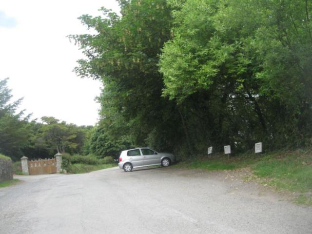
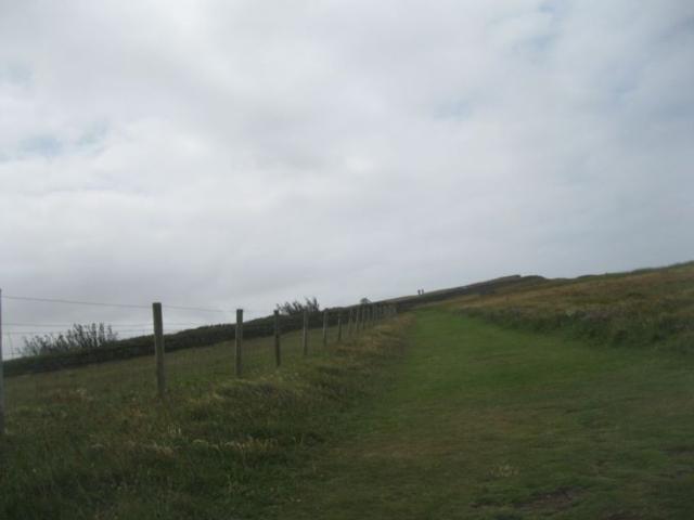
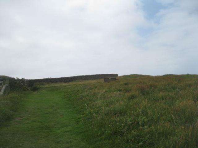
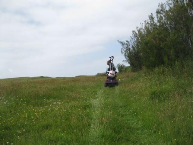
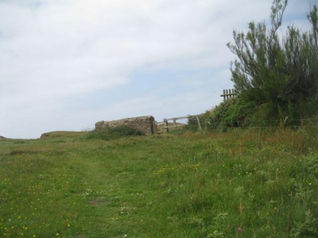
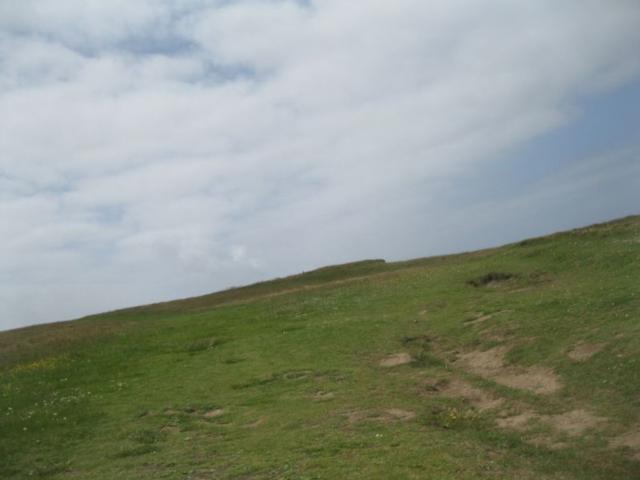
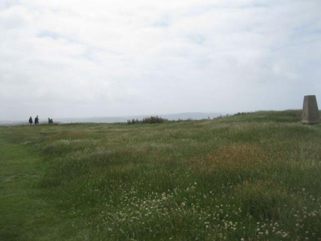
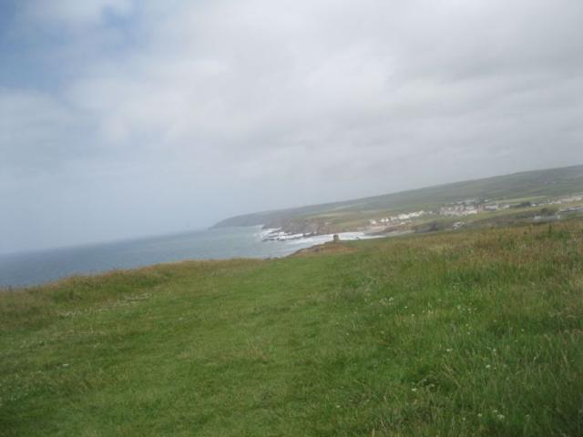
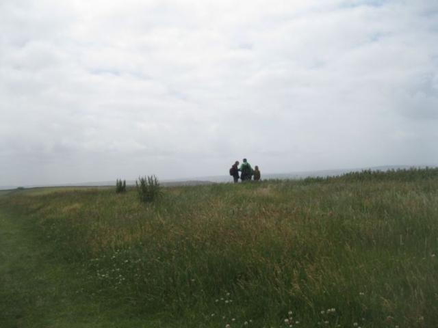
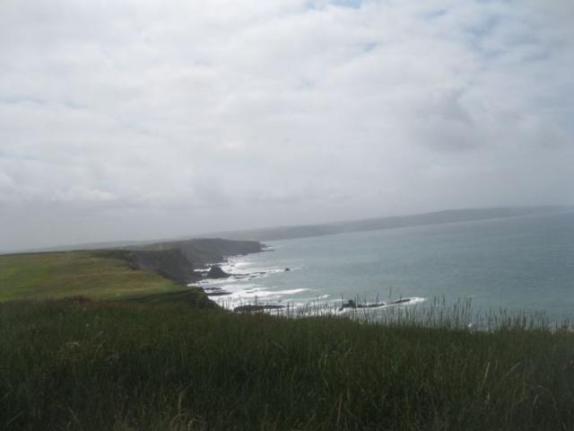
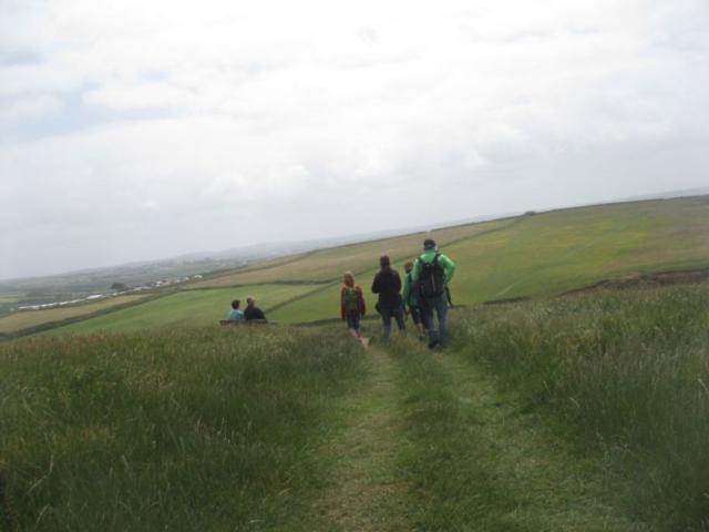
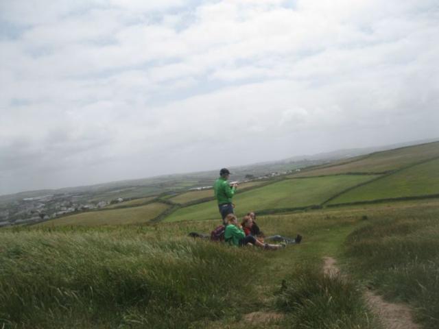
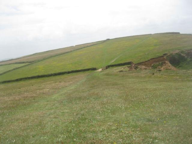
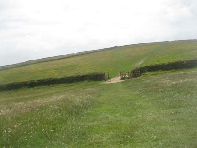
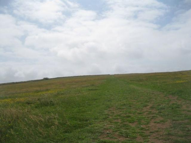
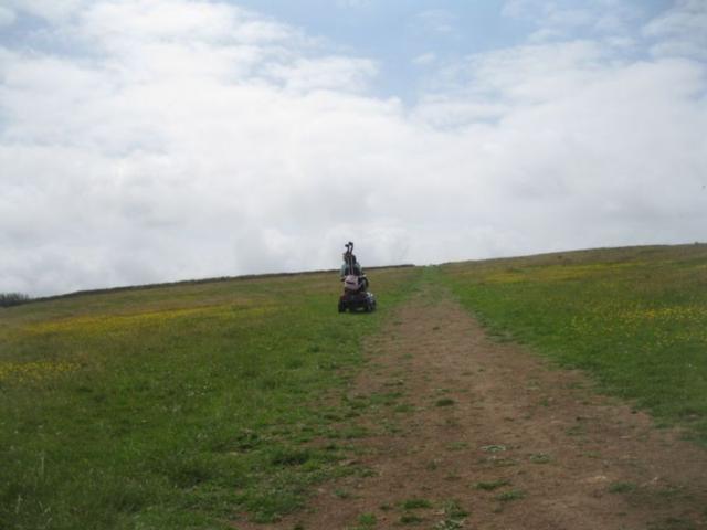
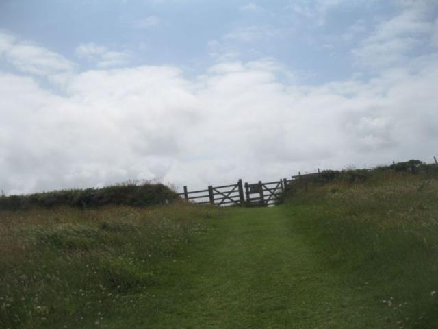
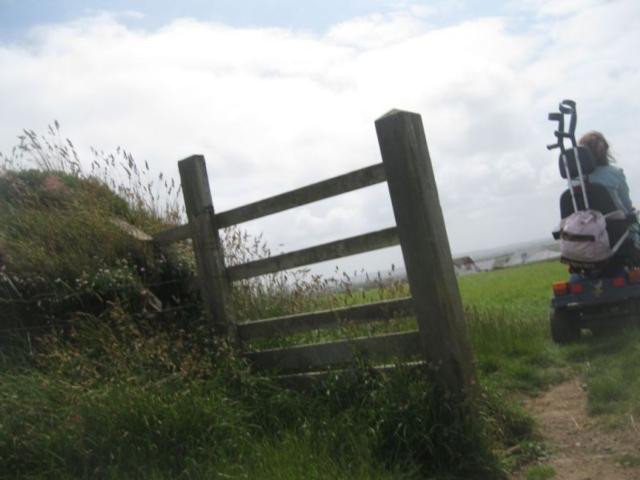
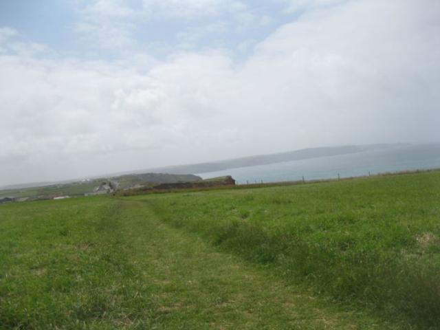
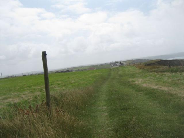
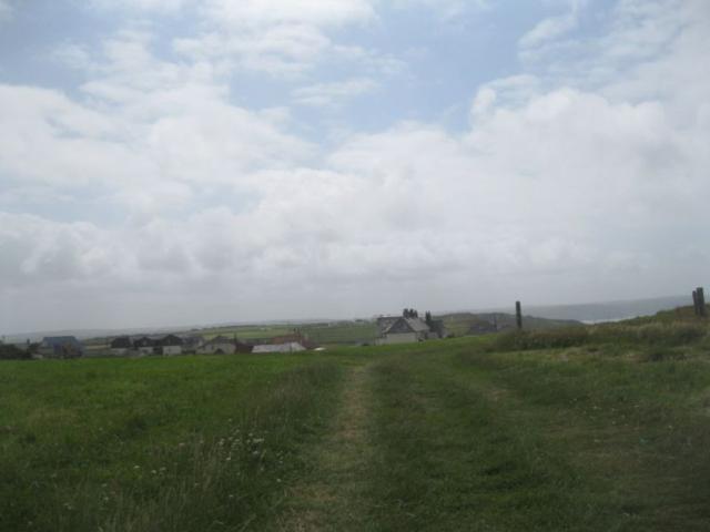
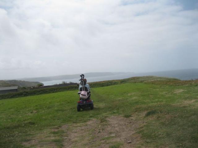
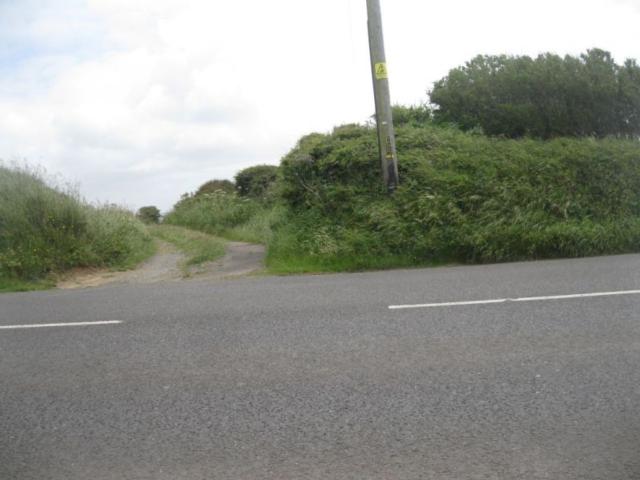
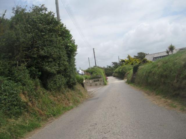
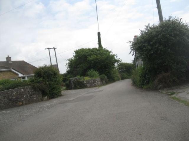
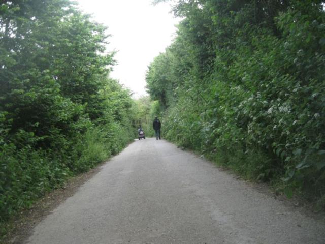
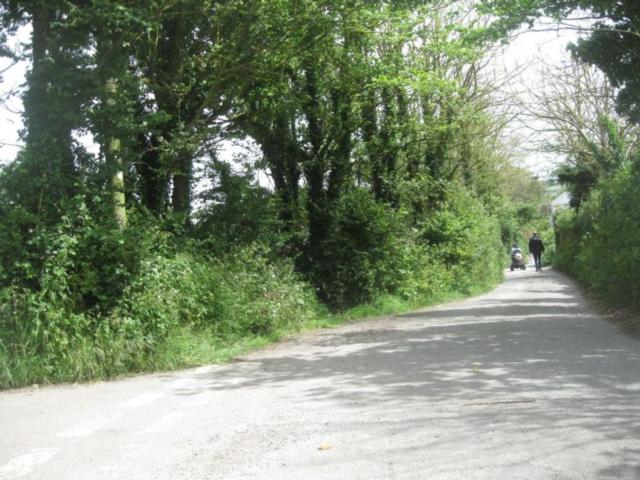
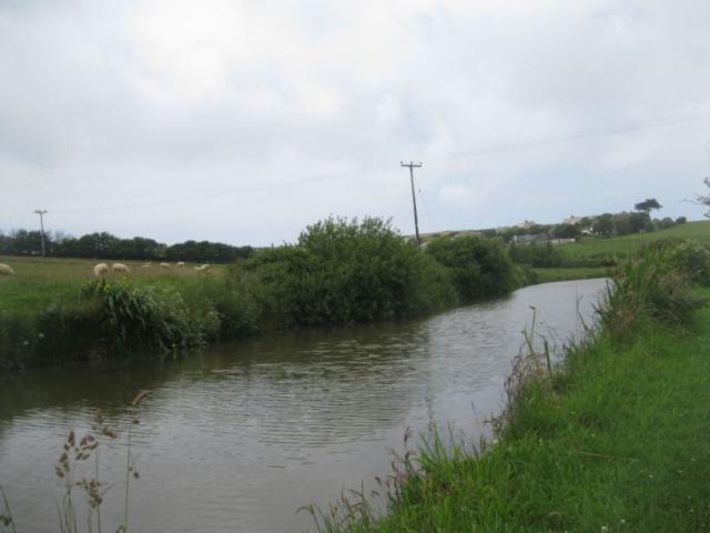
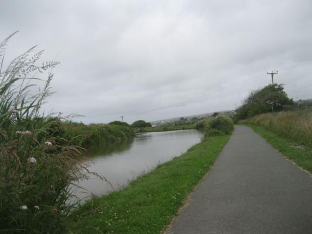
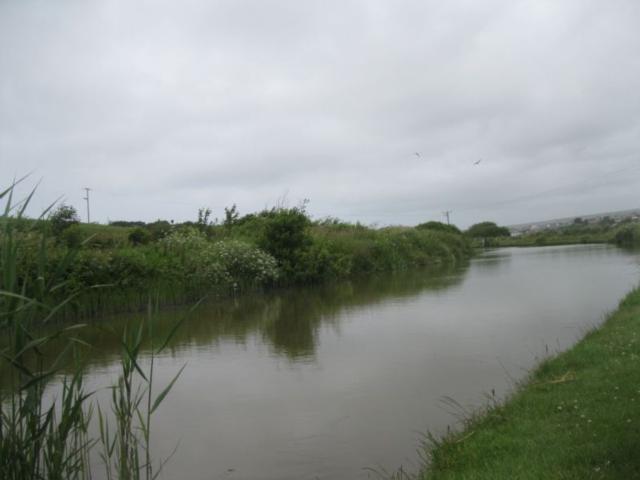
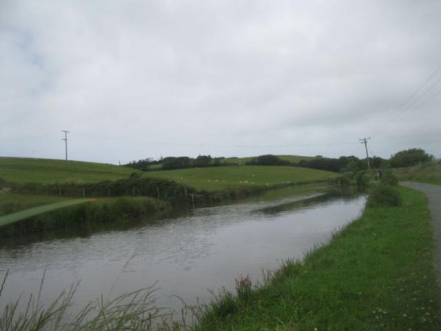
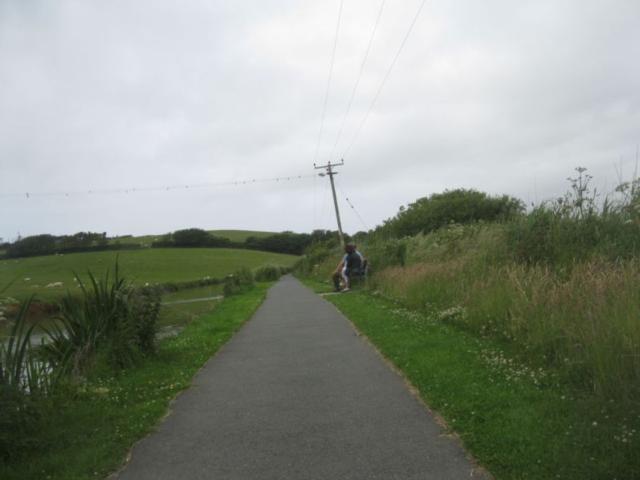
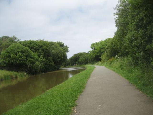
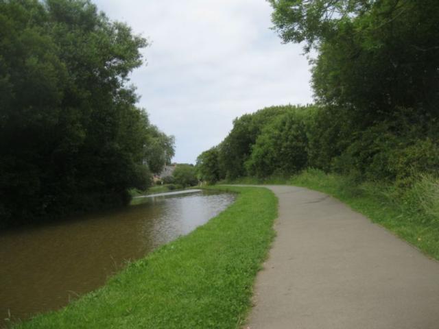
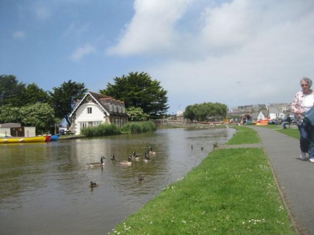
A challenging route for large scooters and experienced riders. I would recommend doing it with able-bodied person. A varied route with spectacular views of the coast and the peaceful Bude Canal. Some of the terrain is even, steep and there are gates. If you are interested in oter rambling in Cornwall why not visit http://www.cornwallrr.org.uk. there is also a much easier route along the canal and a tramper of road mobility scooter can be hired at http://www.whalesborough.co.uk/north-cornwall-restaurants.html.
Surveyed by: Steve CRR, January 2013
(Winter)
Accessibility Rating: 5
Distance: 5.2 km
Car Park: large pay and display carpark
Steps: No
Barriers: No
Toilets: fully accessible toilets.

Bude circular Phototrail
Map Markers
The route is shown as a red line. You can show or hide the types of points indicated on the map using the checkboxes below.
Show All Trail Points | Show No Trail Points | Show Summary
Accessibility Info | Amenities Info | Facilities Info | Features Info | Way Finding Info | ||||||||||||||||||||||||||||||||||||||||||||||||||||||||||||||||||||||||||||||||||||||||||||||||||||||||||
---|---|---|---|---|---|---|---|---|---|---|---|---|---|---|---|---|---|---|---|---|---|---|---|---|---|---|---|---|---|---|---|---|---|---|---|---|---|---|---|---|---|---|---|---|---|---|---|---|---|---|---|---|---|---|---|---|---|---|---|---|---|---|---|---|---|---|---|---|---|---|---|---|---|---|---|---|---|---|---|---|---|---|---|---|---|---|---|---|---|---|---|---|---|---|---|---|---|---|---|---|---|---|---|---|---|---|---|---|---|---|
|
|
|
|
|
A map of the route is shown above -
- click on any marker point to view a photograph and the description of that point
- to zoom in or out use the navigation tool on the top-left of the map
- click and drag to change the centre of the map
- you can change to map/terrain/satellite/hybrid (satellite + map) views using the control on the top-right of the map
Route directions are shown below the map.
- Click on any marker icon in this list to highlight that point on the map and show a photo of that spot.
Got something to say about this Phototrail? Let us know!
Vertical Profile
This is an approximate vertical profile with samples taken at 100m intervals along the trail.
