Route Filmstrip & Description
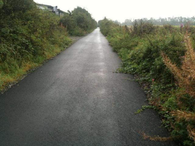
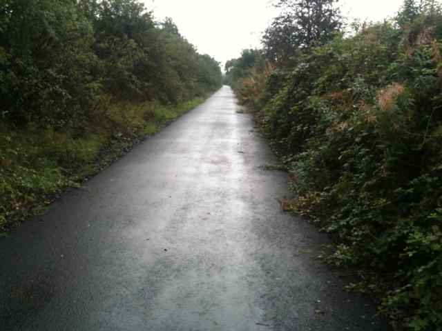
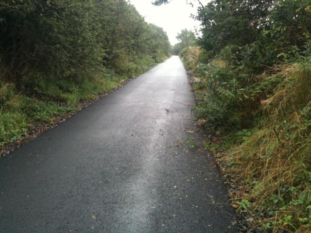
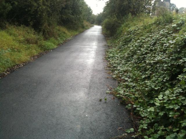
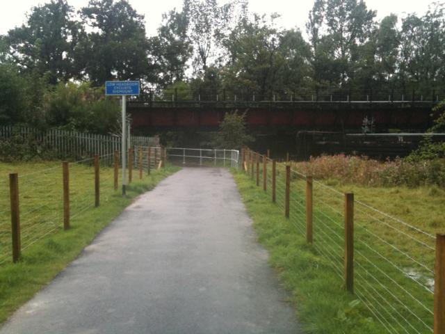
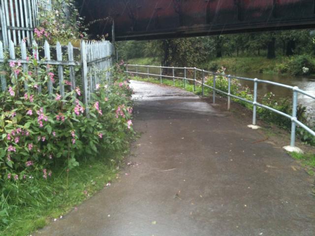
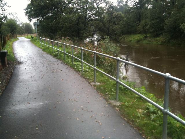
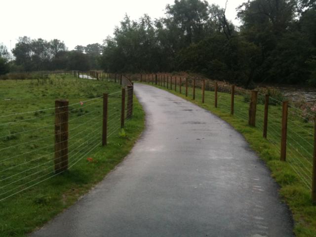
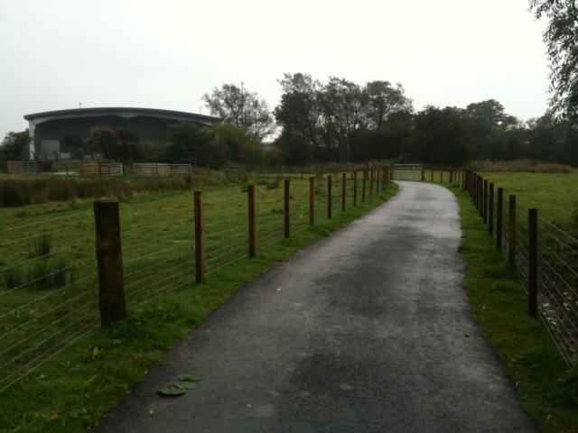
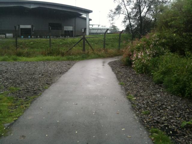
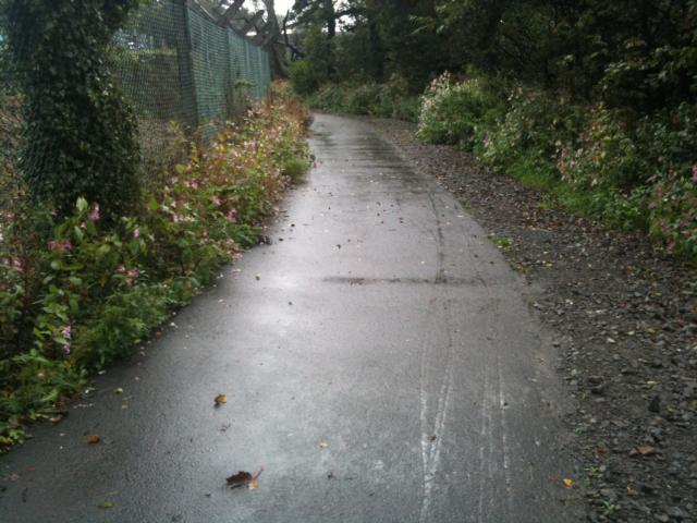
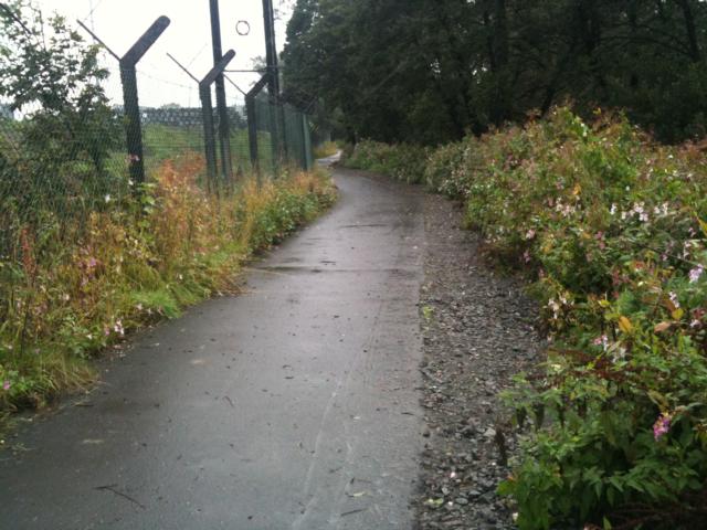
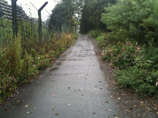
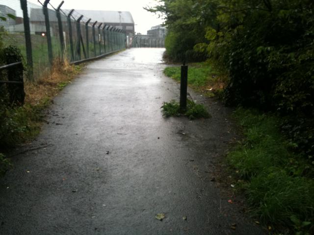
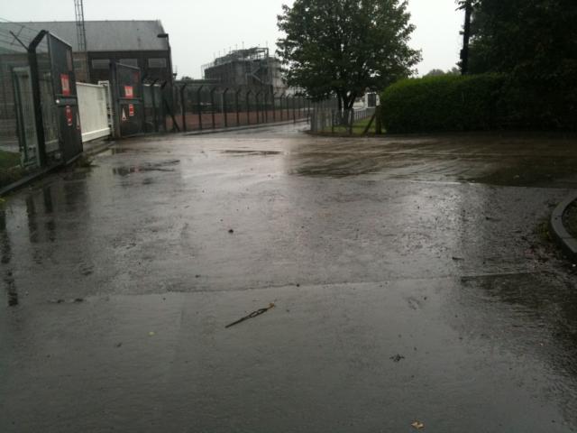
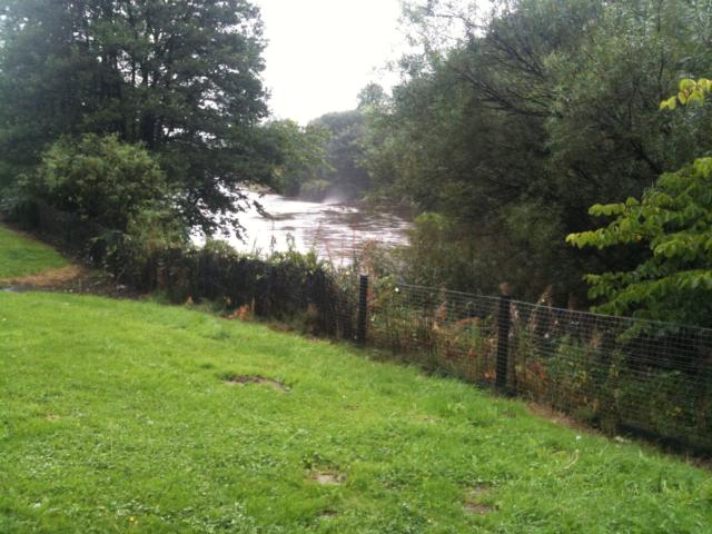
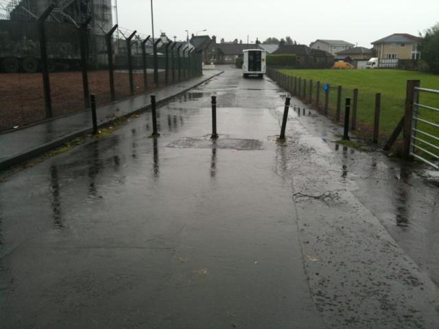
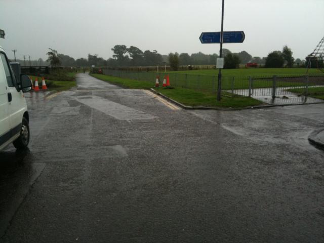
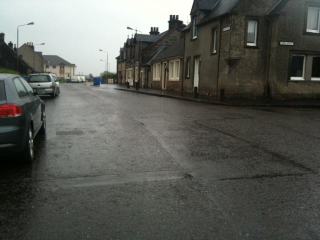
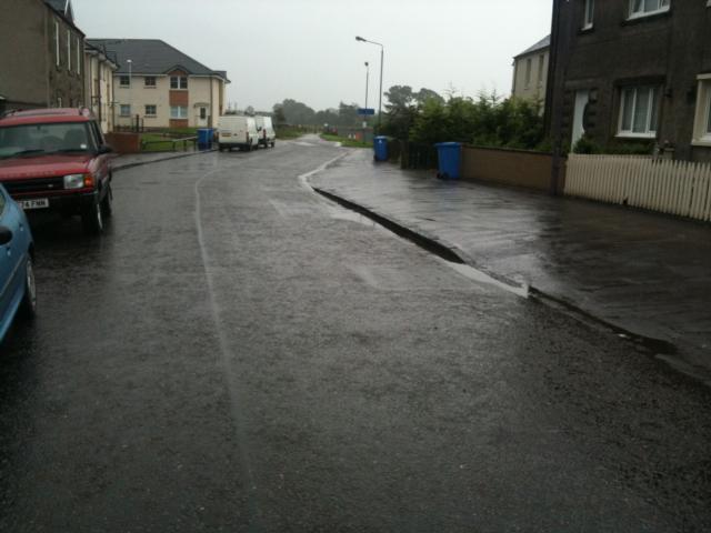
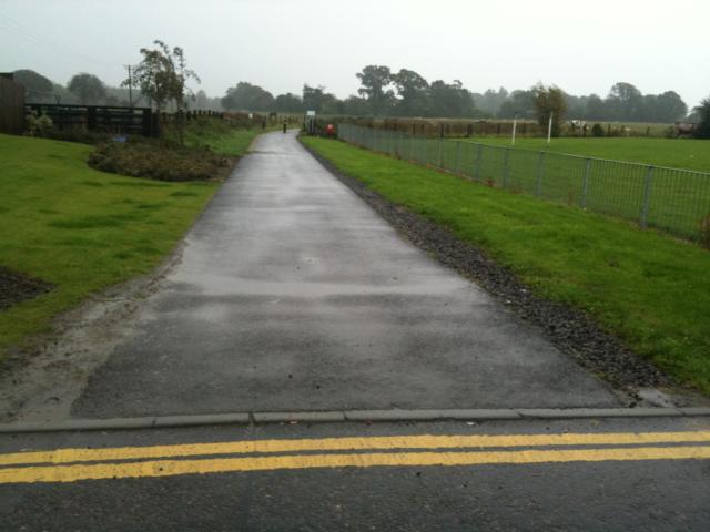
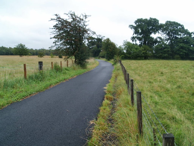
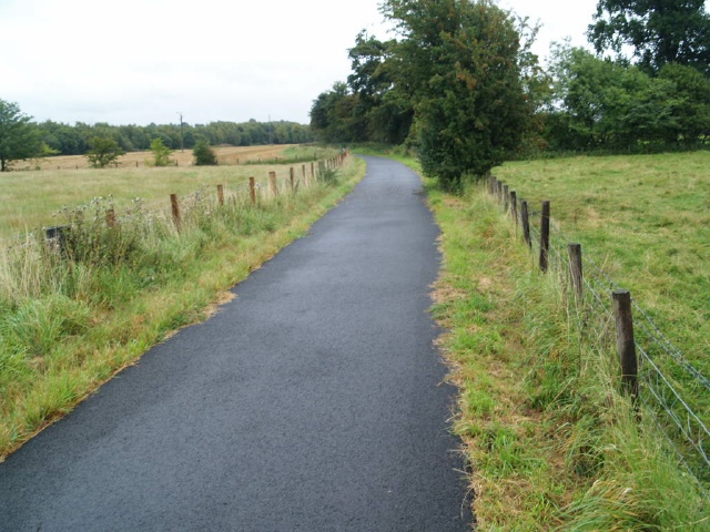
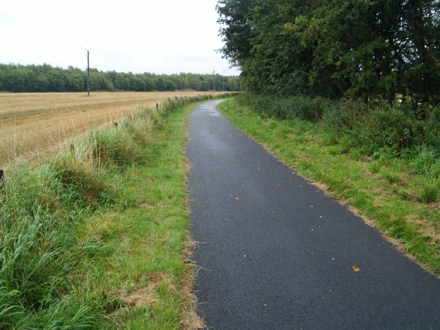
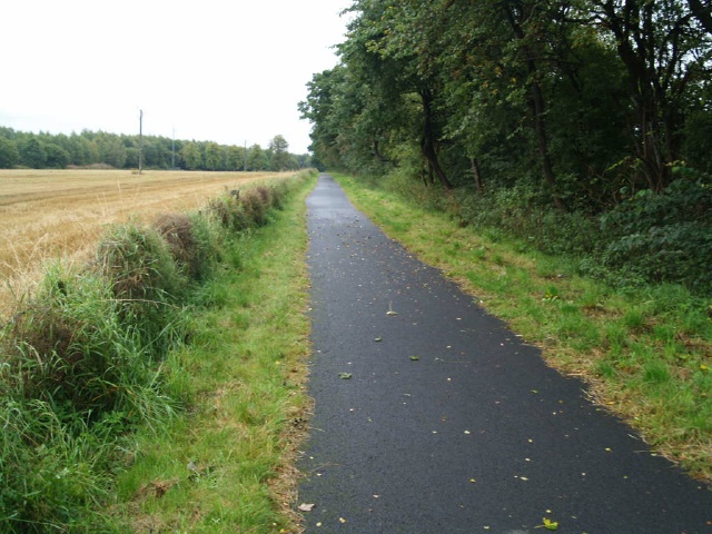
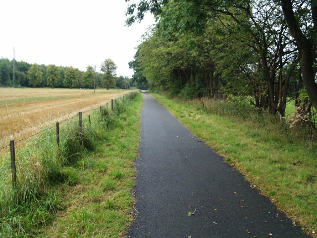
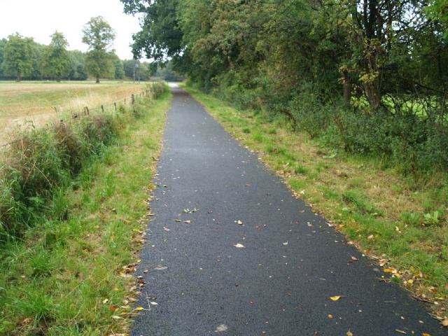
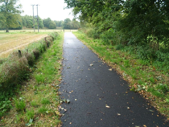
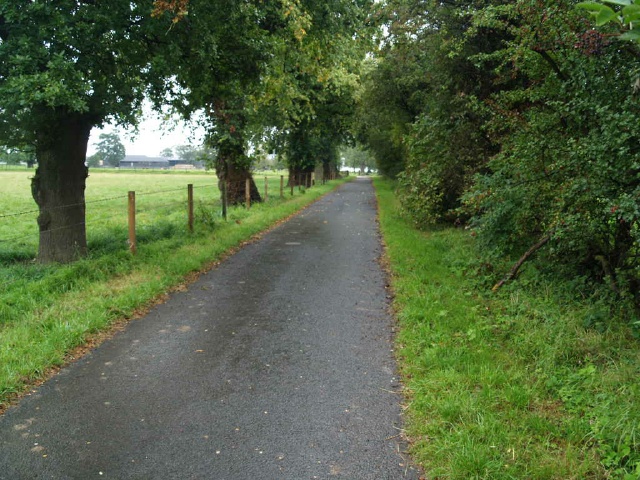
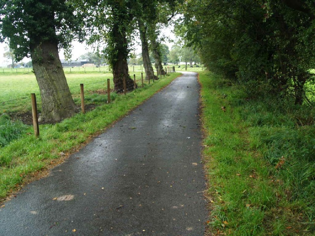
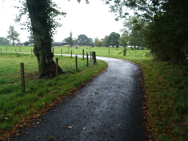
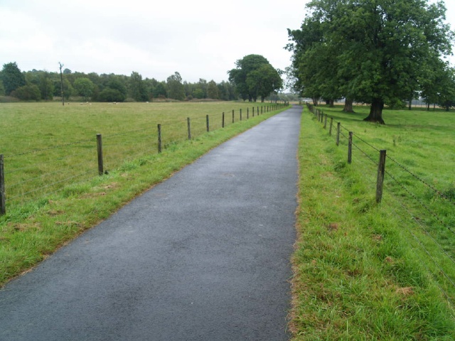
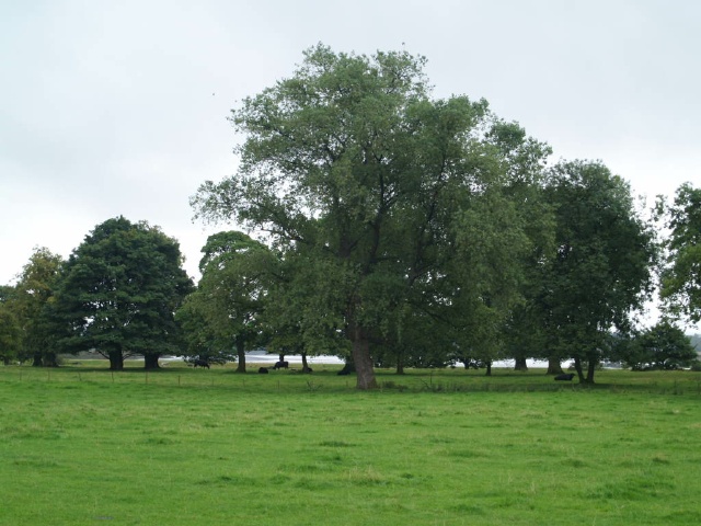
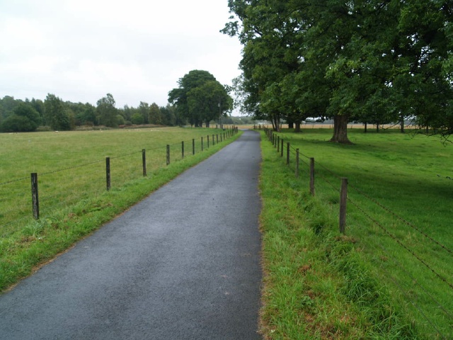
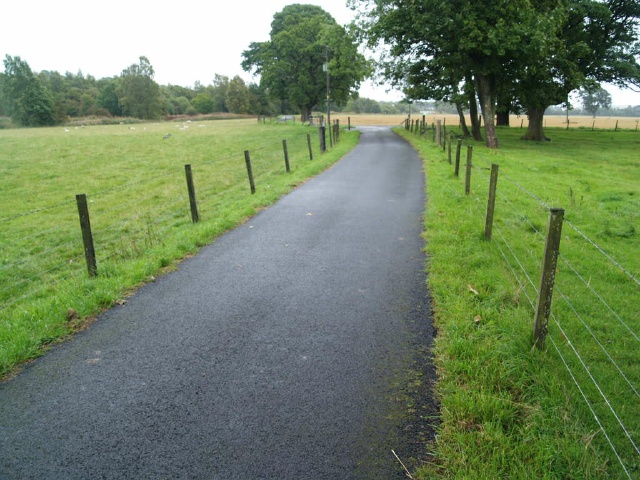
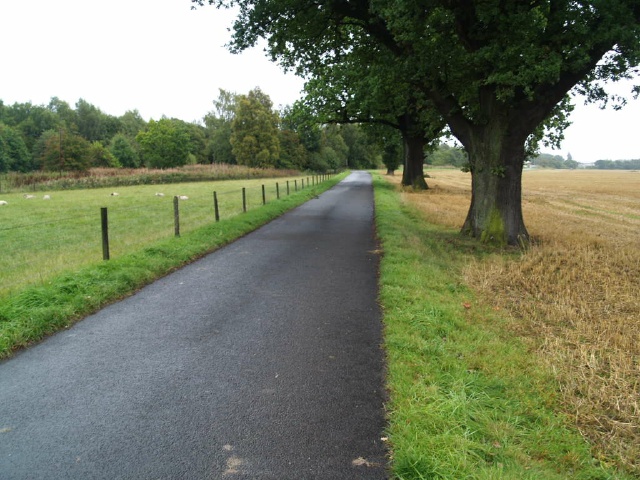
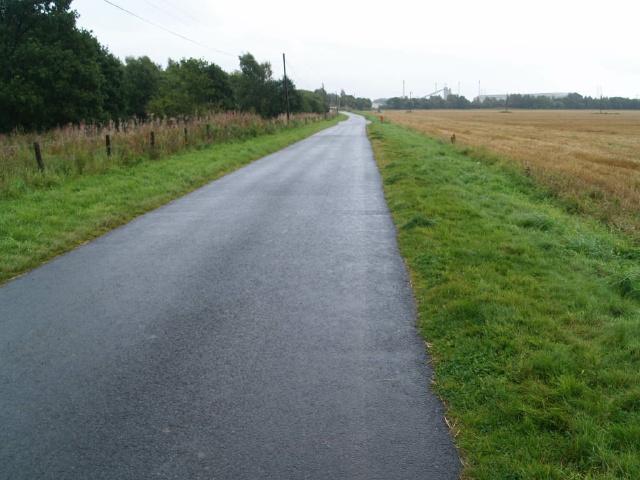
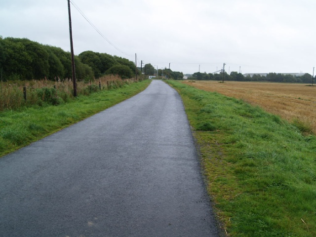
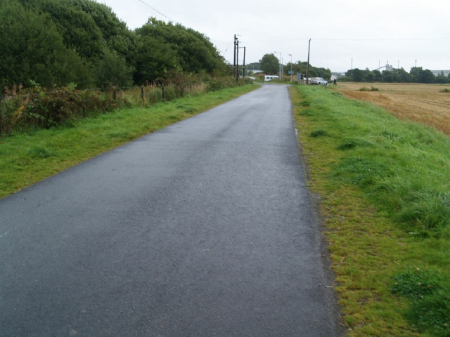
The trail starts by the playground at the end of Main Street in Cambus and runs through attractive farmland with views to the River Forth. Street parking is available nearby.The path is tarmacked and level throughout and wide enough for two people to walk side by side with plenty of space of cyclists to pass safely.There are 2 perches about halfway along the route and it is about 3Km to the end and back.
Surveyed by: . Fieldfare, January 2011
(Winter)
Accessibility Rating: 2
Distance: 1.7 km
Car Park: No
Steps: No
Barriers: No
Toilets: No
The start of the Cambus Cycleway is off the cycleway to Stirling that follows the old Stirling road about 120m west of the Dumyat Park Roundabout. A sign on the old Stirling road points to the ramp leading to the trail.
There are cattle grids and gates to allow animals to move between the fields on either side of the path.
The path has a tarmac surface throughout and is wide enough for two people to walk side by side with plenty of space for cyclists to pass safely.
There are two perches just before the track turns right. They are set off the path on a gravel base.
There is a barrier across the road which is open most of the time. There is a gap to the side 800mm wide.
Cambus Cycleway Phototrail
Map Markers
The route is shown as a red line. You can show or hide the types of points indicated on the map using the checkboxes below.
Show All Trail Points | Show No Trail Points | Show Summary
| Accessibility Info | Amenities Info | Facilities Info | Features Info | Way Finding Info | ||||||||||||||||||||||||||||||||||||||||||||||||||||||||||||||||||||||||||||||||||||||||||||||||||||||||||
|---|---|---|---|---|---|---|---|---|---|---|---|---|---|---|---|---|---|---|---|---|---|---|---|---|---|---|---|---|---|---|---|---|---|---|---|---|---|---|---|---|---|---|---|---|---|---|---|---|---|---|---|---|---|---|---|---|---|---|---|---|---|---|---|---|---|---|---|---|---|---|---|---|---|---|---|---|---|---|---|---|---|---|---|---|---|---|---|---|---|---|---|---|---|---|---|---|---|---|---|---|---|---|---|---|---|---|---|---|---|---|
|
|
|
|
|
|
A map of the route is shown above -
- click on any marker point to view a photograph and the description of that point
- to zoom in or out use the navigation tool on the top-left of the map
- click and drag to change the centre of the map
- you can change to map/terrain/satellite/hybrid (satellite + map) views using the control on the top-right of the map
Route directions are shown below the map.
- Click on any marker icon in this list to highlight that point on the map and show a photo of that spot.
Got something to say about this Phototrail? Let us know!


