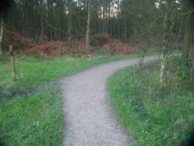
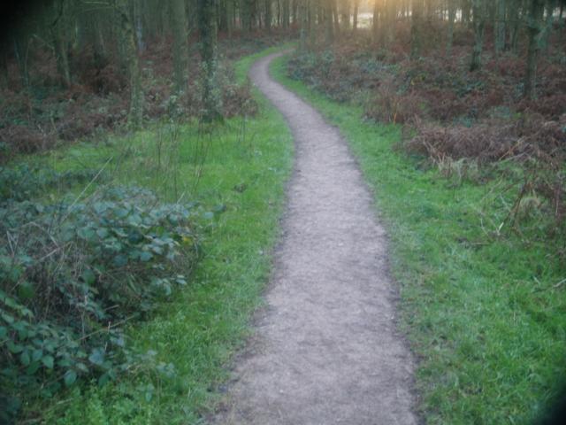
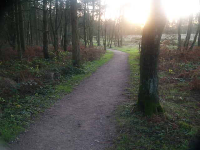
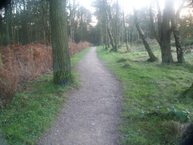
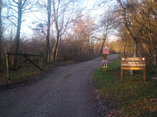
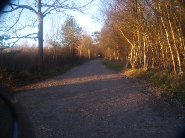
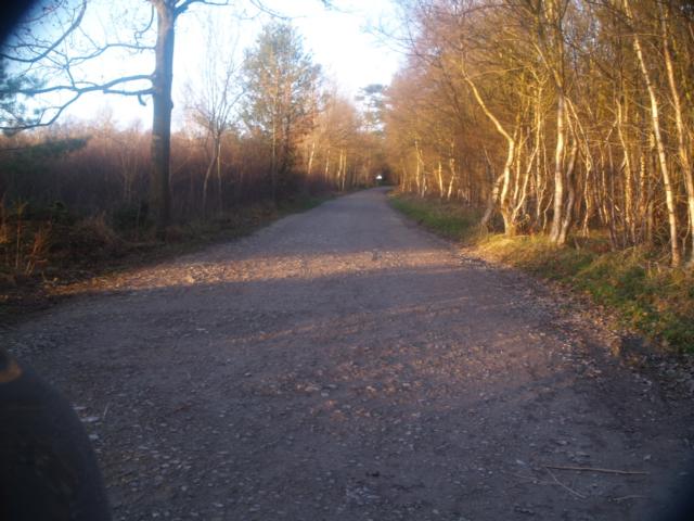
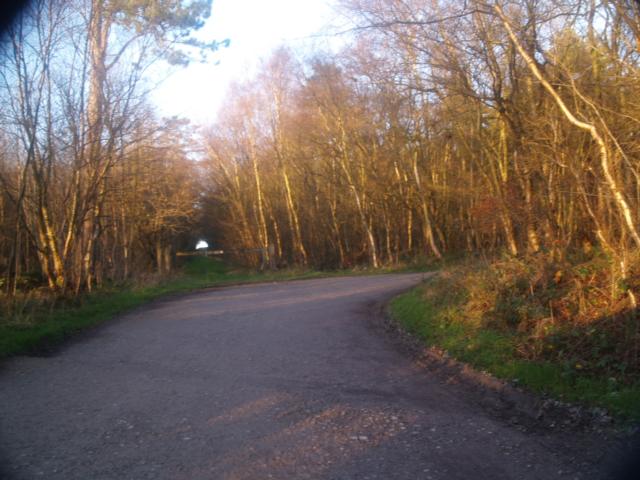
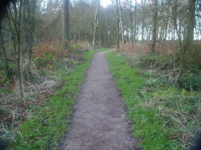
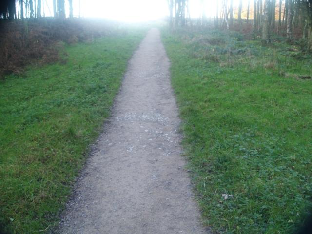
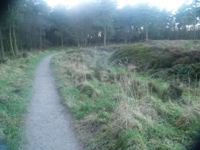
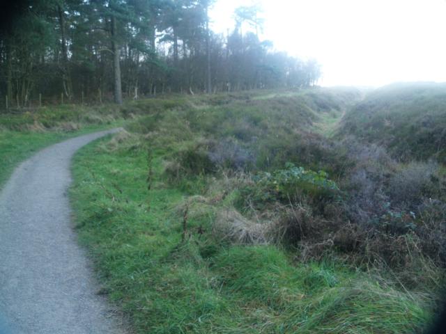
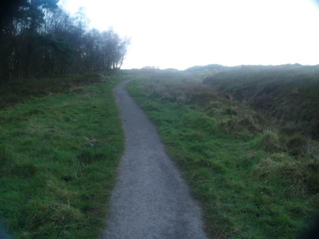
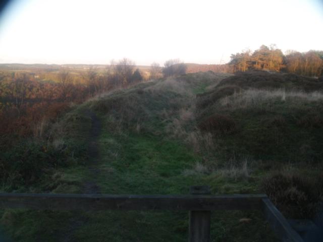
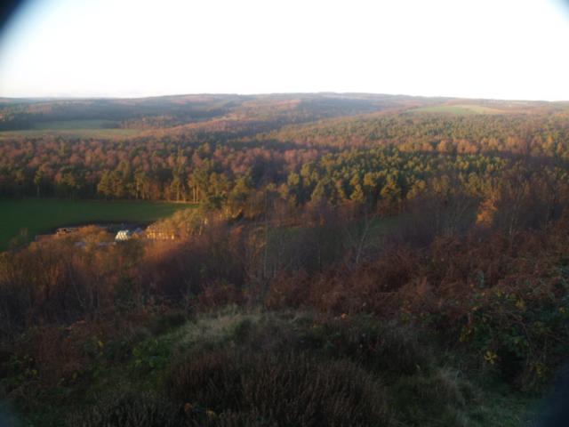
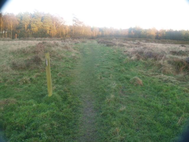
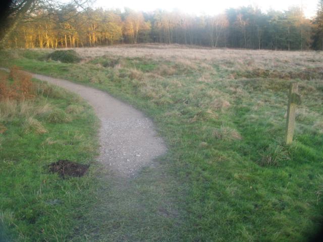
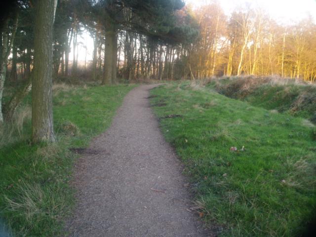
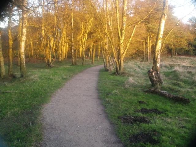
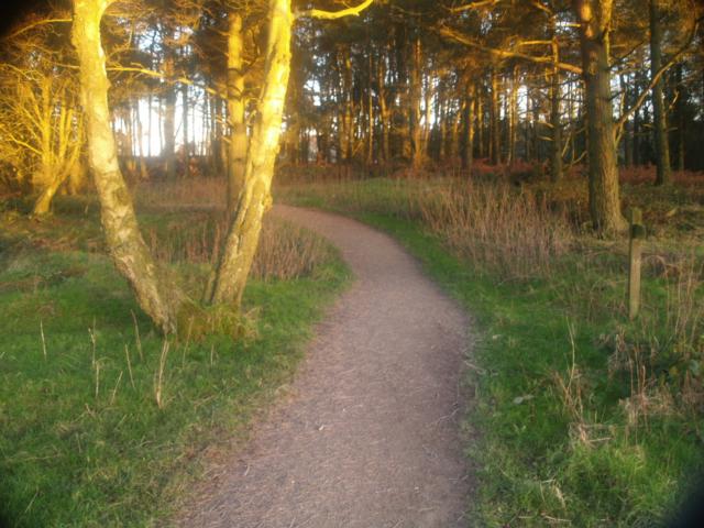
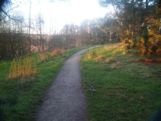
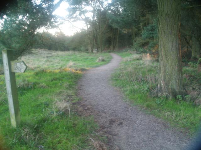
A mostly surfaced path leading to the earthwork remains of Roman camps with great views across the North Yorkshire Moors. Find out more at http://www.english-heritage.org.uk/professional/research/landscapes-and-areas/aerial-survey/investigations/cawthorn-camps/ The path to the view point is surfaced and climbs, gently but steadily at about 8%-10% gradient ( 1 in 12 - 1 in 10) for about 500m. After the viewing platform you can complete a circuit but the path across the earthworks is grassed and uneven for about 130m
| OVERALL RATING: RED | ||
| Path Surfaces: | ||
| Maximum Climbing Gradient: | 4 - RED | 13% |
| Maximum Descending Gradient: | 2 - BLUE | -5% |
| Total Elevation Gain: | 55 metres | |
| Distance: | ||


")


 before the constructed path is reached.")


 just before the bridge.14%")