Route Filmstrip & Description
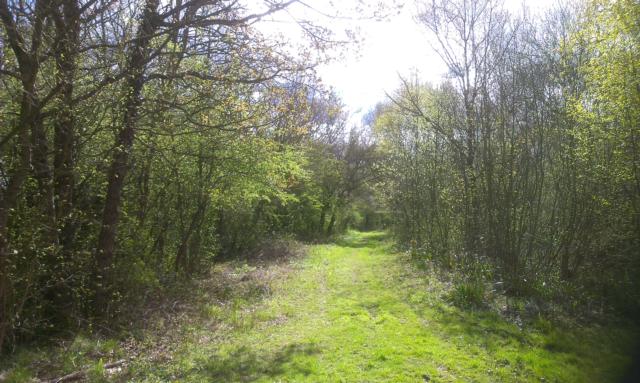
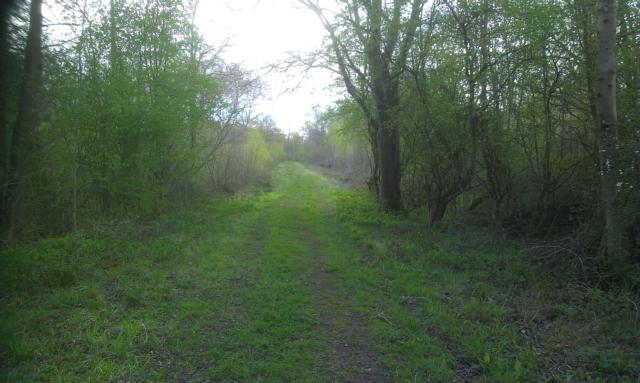
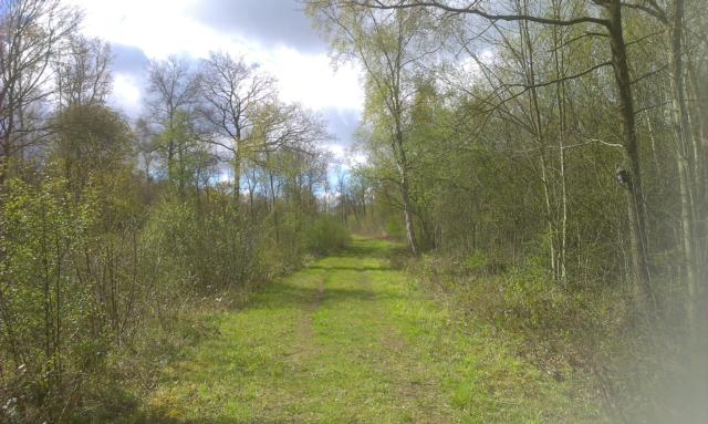
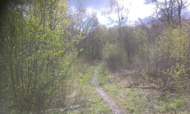
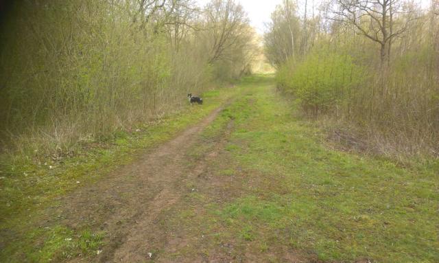
Cloud Wood is 33 hectares in size. It is owned by the Leicestershire and Rutland Wildlife Trust and is a Site of Special Scientific Interest. Cloud Wood is an ancient woodland and is one of the best sites in Leicestershire for flowering plants. Most of the rides are level although uneven in places and in the summer, the rides are heavily vegetated in places. During the Second World War, Cloud Wood was clear-felled and allowed to regenerate naturally, escaping the planting of conifers. In 1993 the site was given to the Trust by Ennstone Breedon plc. A coppice cycle was re-introduced in part of the wood, in order to benefit those animals and plants which prosper under this type of management. Other areas will be allowed to develop naturally into high forest. Rides and glades are often important habitats for wildlife in woodland, providing open areas and edge habitats. More than 220 species of ferns and flowering plants have been recorded. During the summer, the rides are carpeted with marjorum and wild basil which produce a lovely aroma when walking through it. Birds such as dunnock, chiff chaff, robin and buzzard can be heard singing and calling. Butterflies include speckled wood, peacocks, orange tips, silver washed fritillary and white-letter hairstreak. See http://www.lrwt.org.uk/nature-reserves/cloud-wood/ for more information about the nature reserve. Please note that in the summer, some of the rides are heavily vegetated.
Surveyed by: Nathalie Cossa, April 2016
(Spring)
Accessibility Rating: 3
Distance: 2.5 km
Car Park: There is a lay-by 135 metres away from the entrance. There is a grass verge to walk along.
Steps: There are 10 steps in a stairwell along one section of ride but this path is optional and can be avoided.
Barriers: No
Toilets: No

Lay-by, space to park approximately 10 car, about 1.5 miles north of junction with B5324 on road from Griffydam and Castle Donnington.

You have to turn left and walk 135m along the road or grass verge to get from the lay-by to the entrance to the wood.

Entrance to wood is 10m from the road on the right hand side. There is a dip in the path of 7.5 degrees/14%.

There is a small step onto the boardwalk which is 76cm wide with gaps up to 5 1/2cm. The whole boardwalk is covered in chicken wire, there are no handrails. There are several bends to the left and right. At one end of the boardwalk, there are 2 steps, the first is 16cm high, the second step is lower. There is an uphill gradient of 4 degrees/7.5%.

Dip and incline of 9 degrees/16% which was a little muddy at the bottom of the dip and a little rocky in places.

Turn left when you reach the junction. The path follows the ride which is gently undulating. The ride is made up of limestone and firm in places with overlying soil.
At the T-junction the option here is to turn left at the junction and follow the route which is lovely in the spring as the area is carpeted with bluebells and wood anemones.
If you don't want to do this spring path, turn right and walk along the ride.

There is no need to do this part unless you have chosen to park in the layby by this entrance. Dip down of 14 degrees/27%
Cloud Wood Nature Reserve Phototrail
Map Markers
The route is shown as a red line. You can show or hide the types of points indicated on the map using the checkboxes below.
Show All Trail Points | Show No Trail Points | Show Summary
Accessibility Info | Amenities Info | Facilities Info | Features Info | Way Finding Info | ||||||||||||||||||||||||||||||||||||||||||||||||||||||||||||||||||||||||||||||||||||||||||||||||||||||||||
---|---|---|---|---|---|---|---|---|---|---|---|---|---|---|---|---|---|---|---|---|---|---|---|---|---|---|---|---|---|---|---|---|---|---|---|---|---|---|---|---|---|---|---|---|---|---|---|---|---|---|---|---|---|---|---|---|---|---|---|---|---|---|---|---|---|---|---|---|---|---|---|---|---|---|---|---|---|---|---|---|---|---|---|---|---|---|---|---|---|---|---|---|---|---|---|---|---|---|---|---|---|---|---|---|---|---|---|---|---|---|
|
|
|
|
|
A map of the route is shown above -
- click on any marker point to view a photograph and the description of that point
- to zoom in or out use the navigation tool on the top-left of the map
- click and drag to change the centre of the map
- you can change to map/terrain/satellite/hybrid (satellite + map) views using the control on the top-right of the map
Route directions are shown below the map.
- Click on any marker icon in this list to highlight that point on the map and show a photo of that spot.
Got something to say about this Phototrail? Let us know!
Vertical Profile
This is an approximate vertical profile with samples taken at 100m intervals along the trail.
