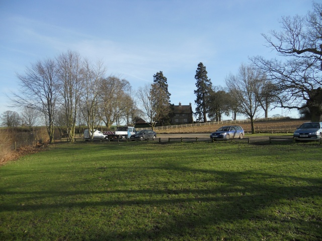
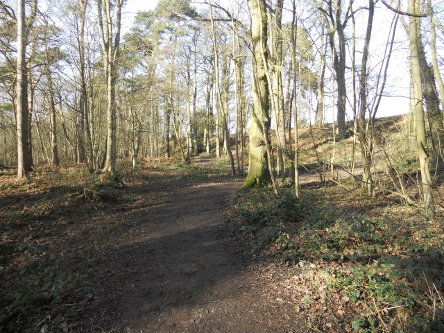
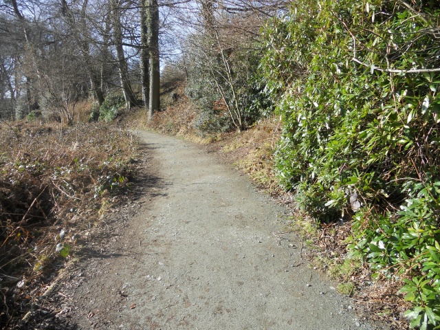
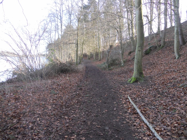
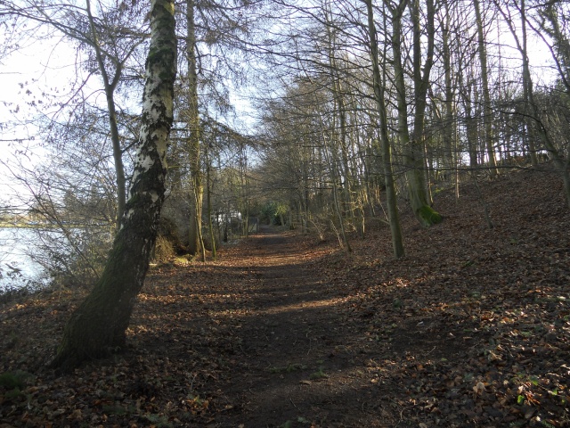
North Shropshire is famous for its "Meres and Mosses" and Colemere is one of the most beautiful of them all. The 1.5km circular walk doesn't have many areas to stop and rest, and during periods of wet weather the path can become muddy in some places, but don't let that put you off. Visitors are rewarded with a waters-edge walk that takes in wonderful meadows and woodland - a must for wildlife enthusiasts! Parking is located at Grid Reference SJ435328. Accessible toilets and refreshments can be found a few miles away at the Ellesmere Boathouse Visitors Centre (Grid Reference SJ405347). Don't forget your binoculars!
| OVERALL RATING: BLUE | ||
| Path Surfaces: | ||
| Maximum Climbing Gradient: | 1 - GREEN | 4% |
| Maximum Descending Gradient: | 2 - BLUE | -8% |
| Total Elevation Gain: | 29 metres | |
| Distance: | ||


 and head towards the kissing gate.")


. Grazing encourages a huge range of plant species to grow, including Marsh and Common Spotted Orchids, Yellow Rattle, Meadow Cranesbill and Lady's Smock.")
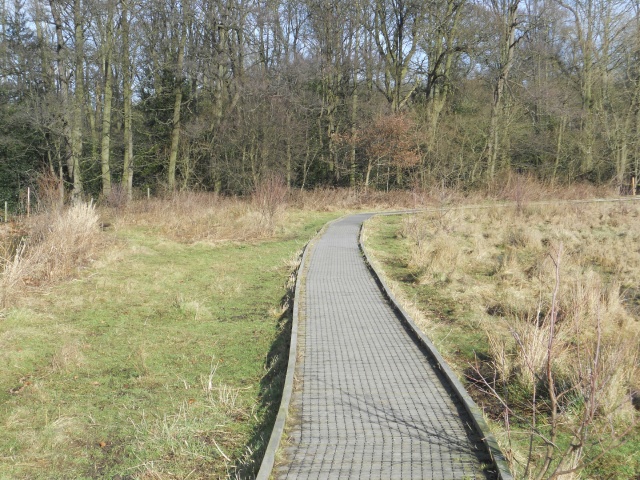
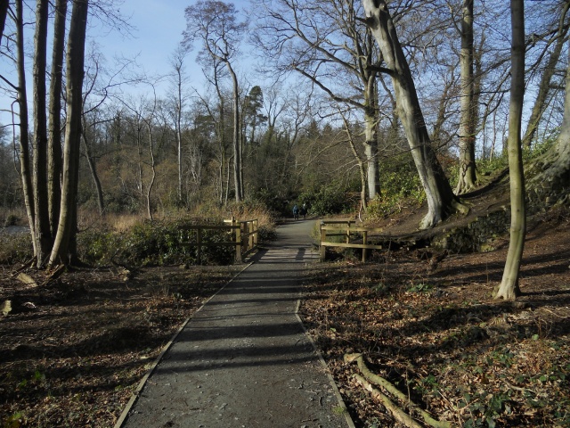
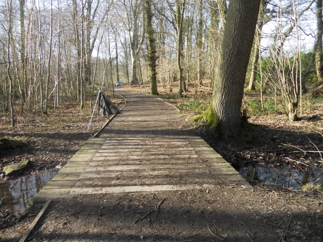
 is on the grass path on the right. However, bear left and follow the edge of the Mere towards the more accessible boardwalk.")


.jpg "Bull rushes and Yell Wood in the background.")
, making access more difficult.")


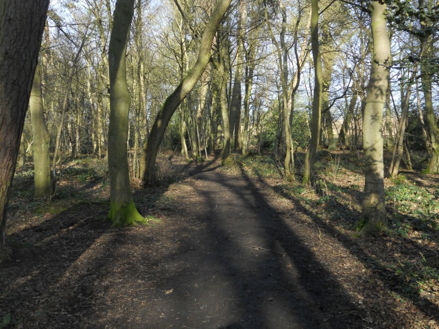
 in the surrounding woodland.")


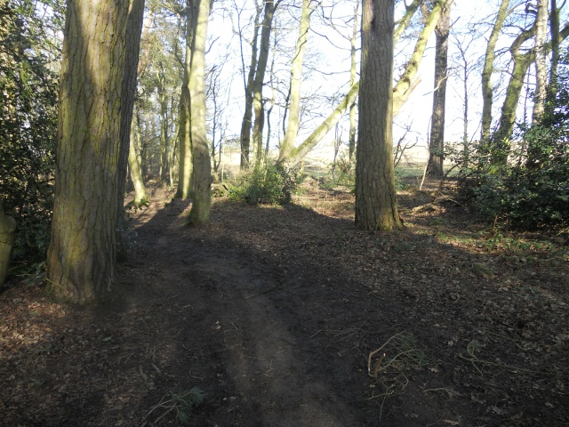
 leads towards the car park.")