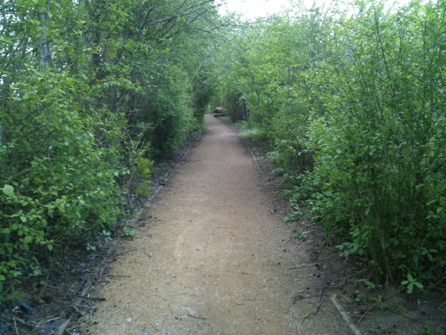
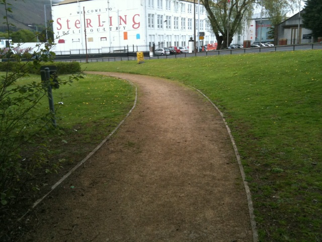
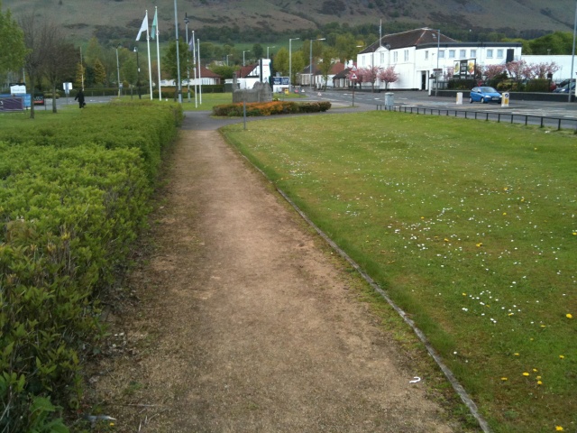
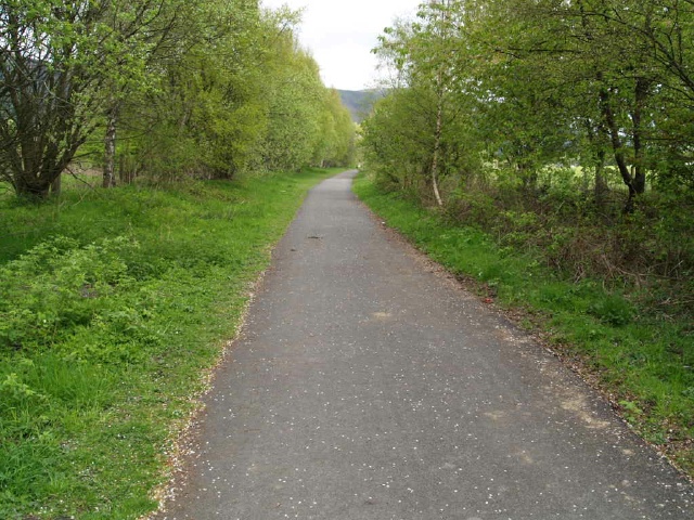
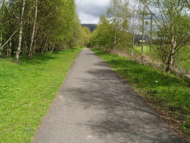
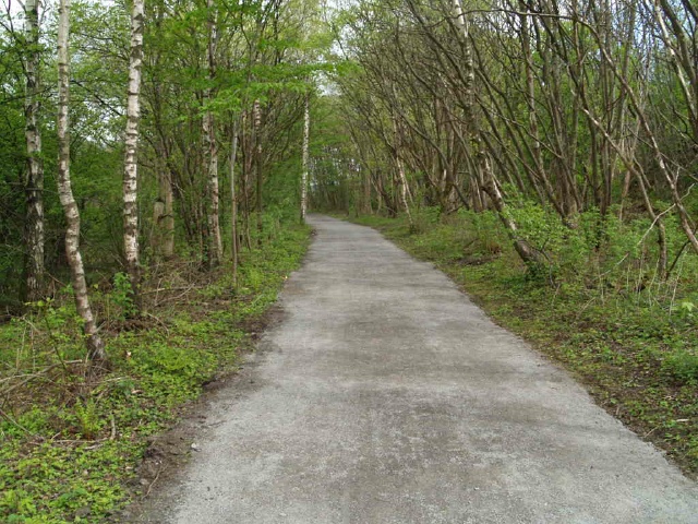
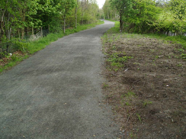
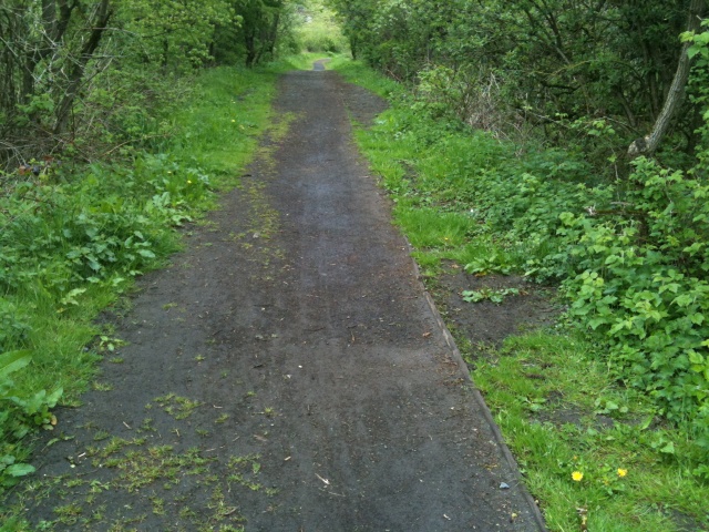
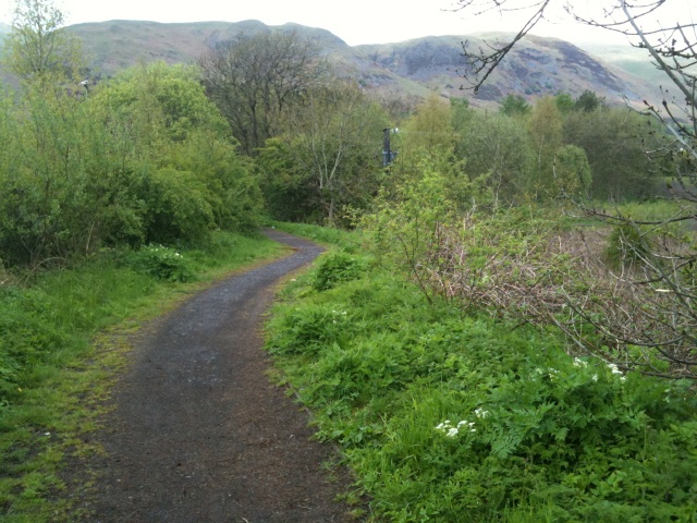
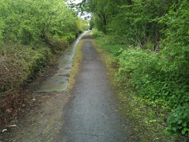
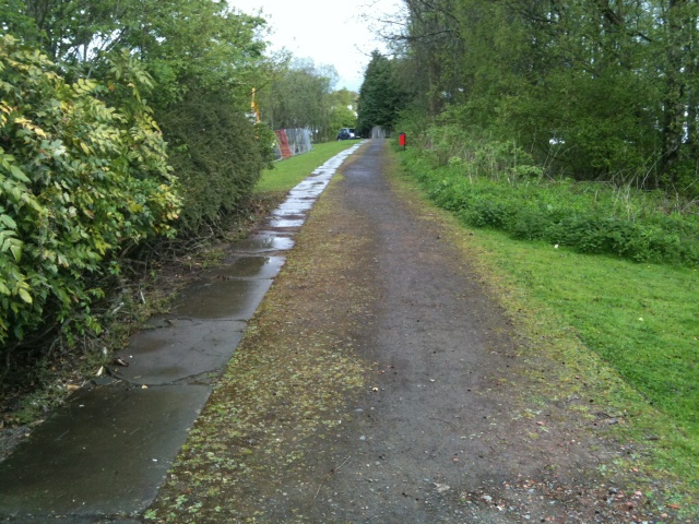
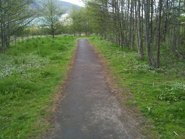
This is a 3Km trail with views of the Ochils and Devon Valley. Most of the trail is level but there are two particular slopes with gradients of 12% (1:8) and 10% (1:10) both for over 40m. The path surface is mainly of crushed stone but with some fine loose stones covering the whole surface which make it a little slippery in places.There is enough room for two people to walk side by side over most of the trail but there are only a couple of seats along the way.
| OVERALL RATING: BLUE | ||
| Path Surfaces: | ||
| Maximum Climbing Gradient: | 1 - GREEN | 3% |
| Maximum Descending Gradient: | 2 - BLUE | -8% |
| Total Elevation Gain: | 21 metres | |
| Distance: | ||


")
 for 15m.")


 at one point.")


.")
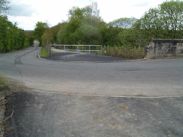
.After the barrier there is a gradient of about 7% (1:14) for 50m or so.")
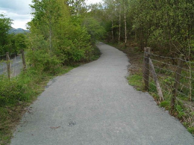


.JPG "There is a gradient of 11% (1:9) for over 20m.")
 for 20m.")


.")
 for 20m.")
.")
")


.")

.")


")