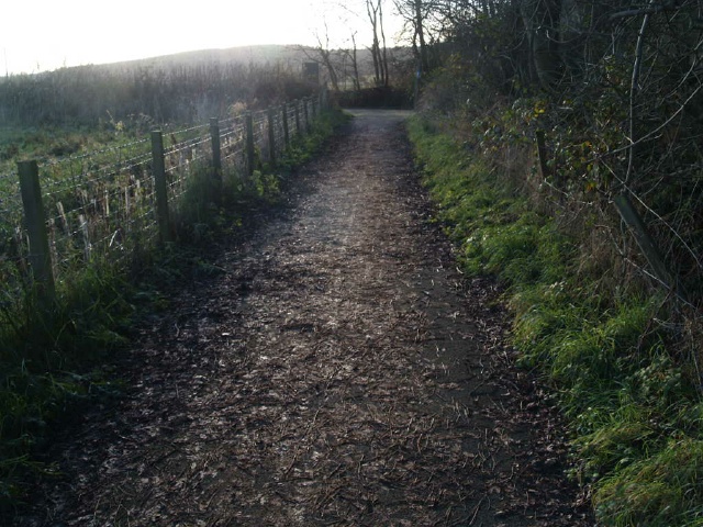
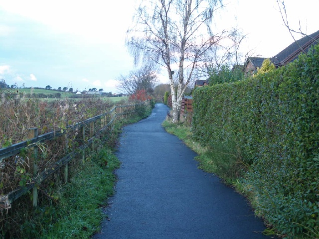
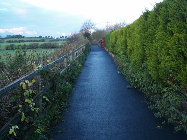
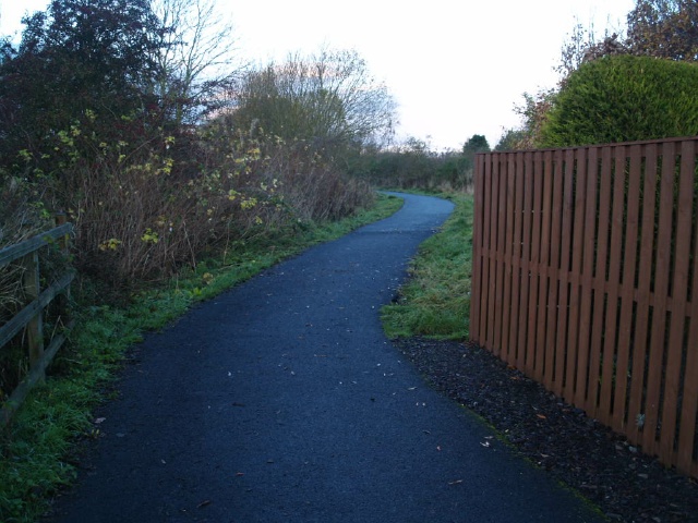
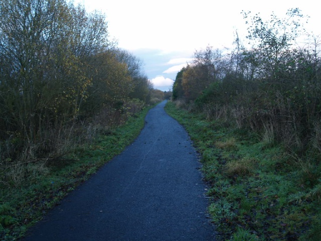
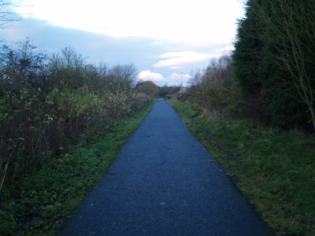
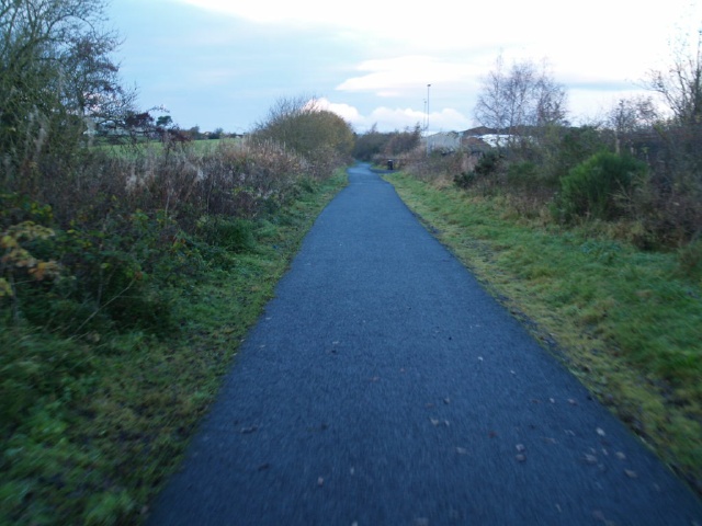
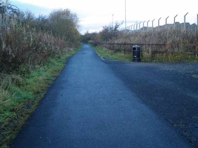
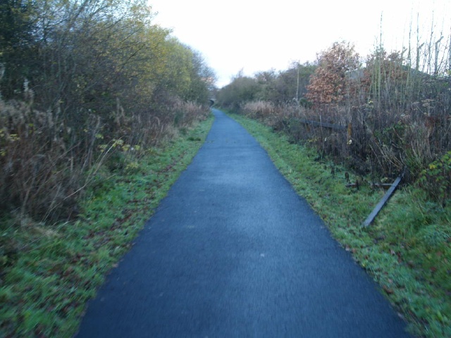
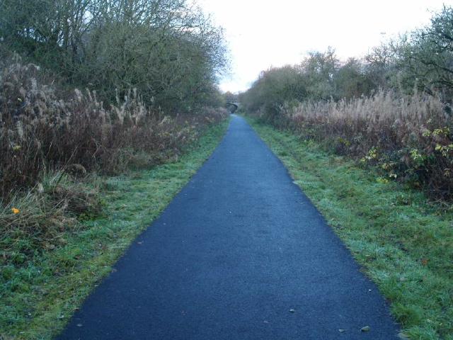
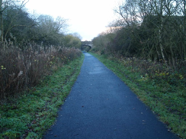
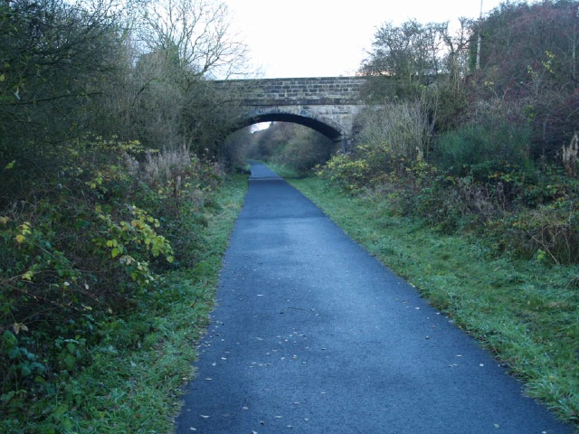
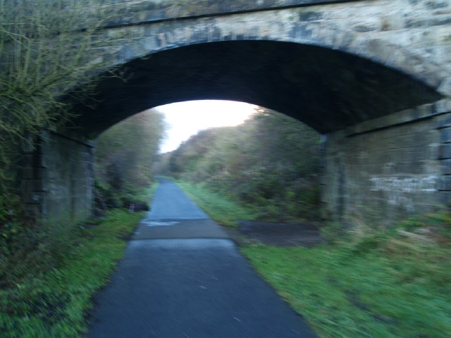
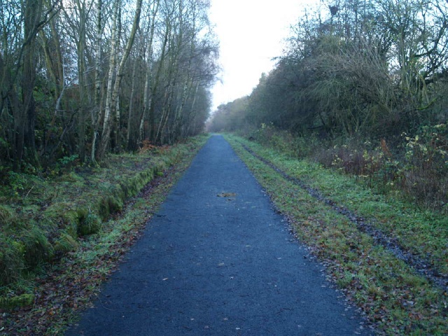
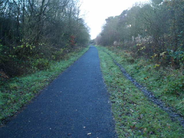
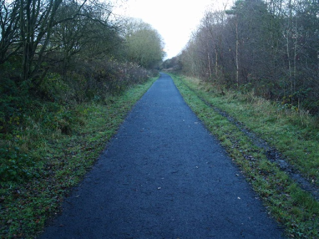
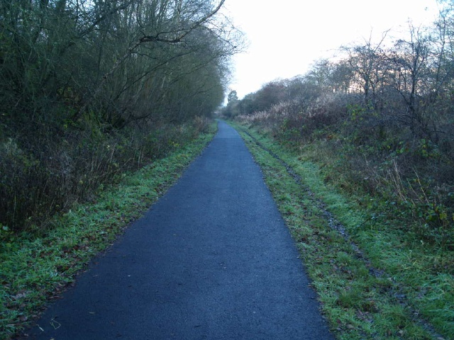
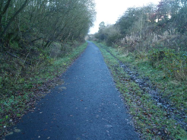
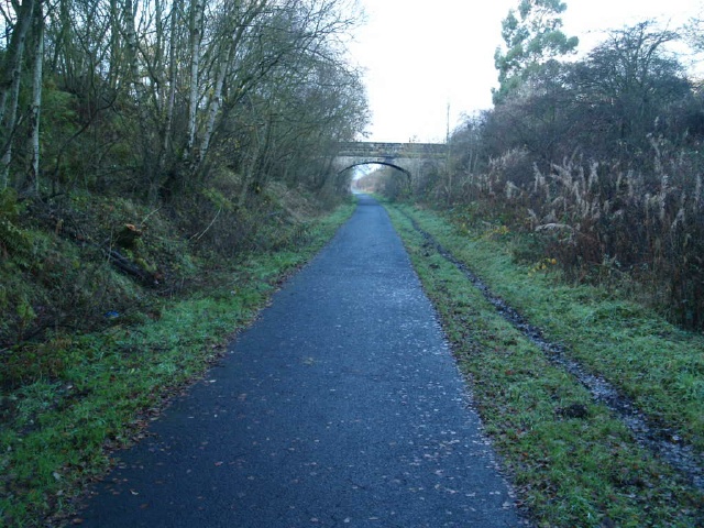
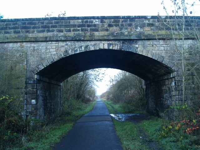
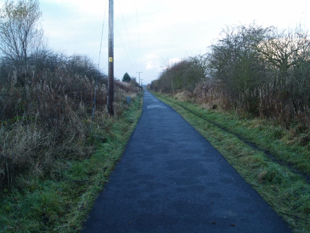
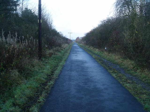
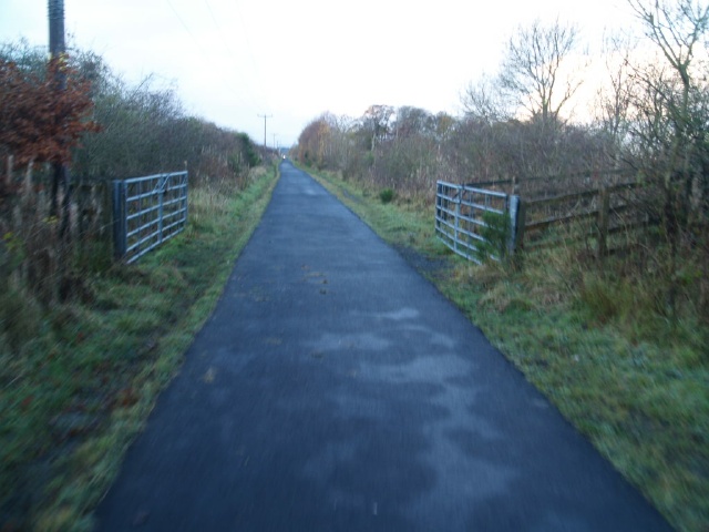
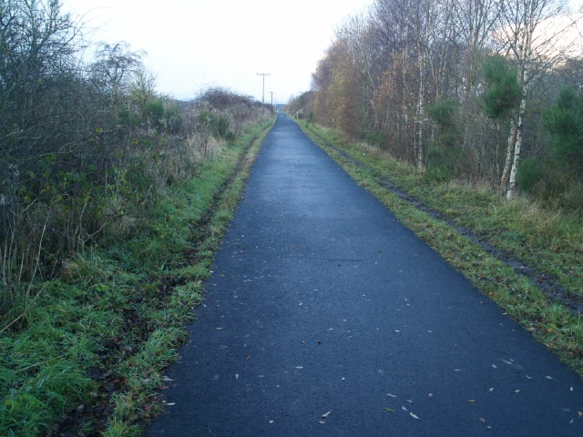
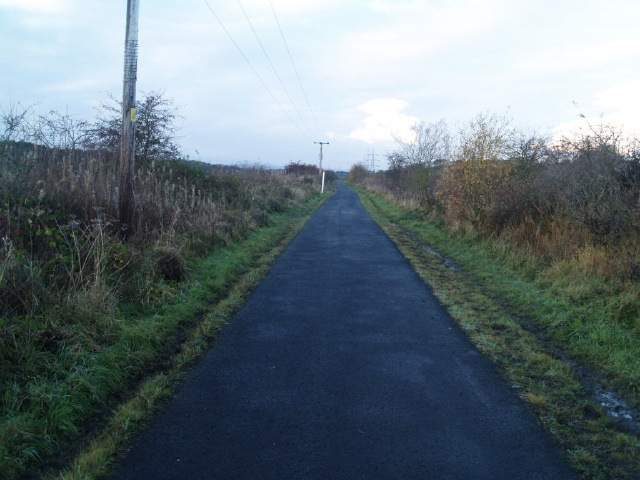
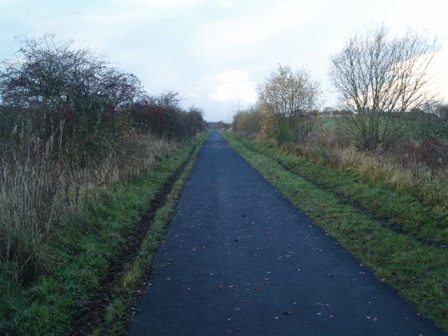
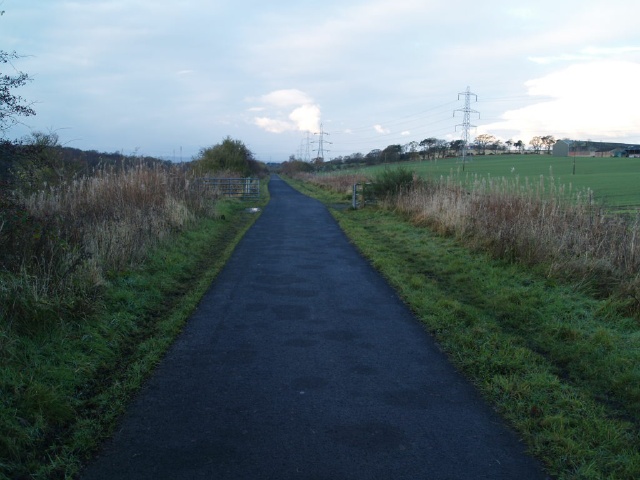
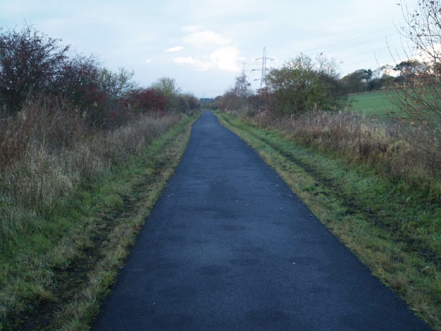
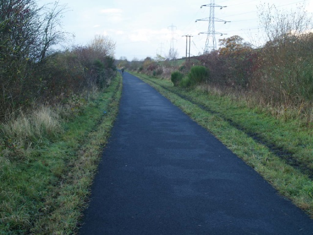
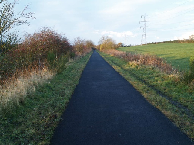
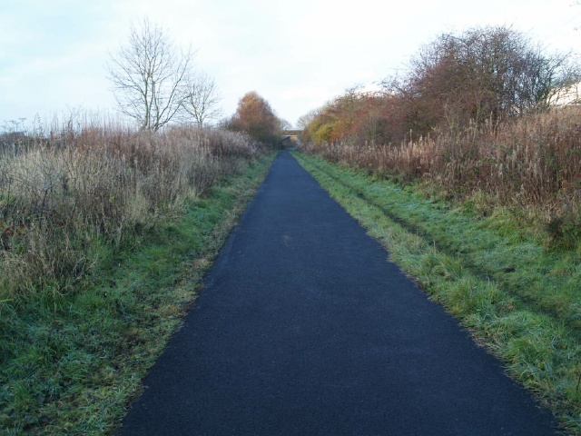
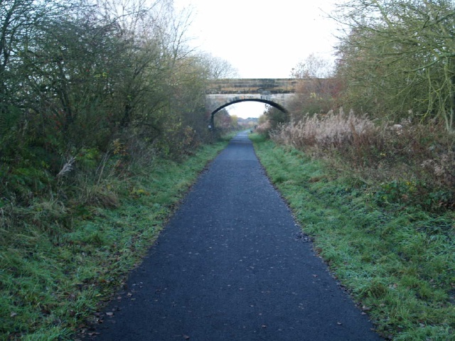
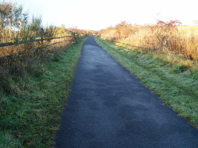
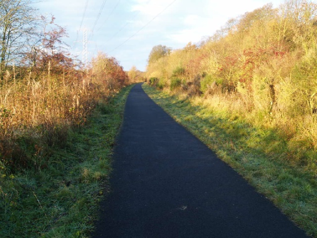
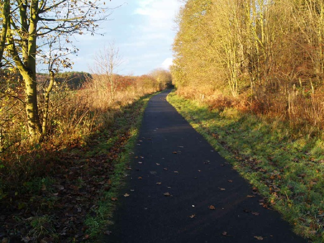
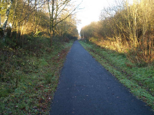
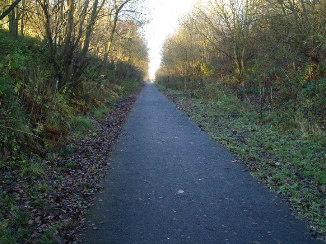
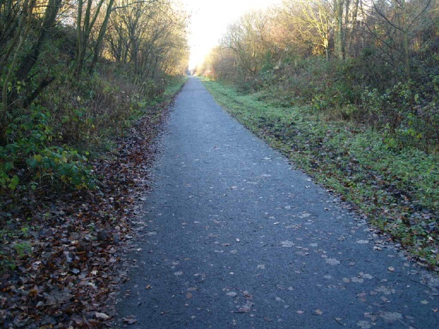
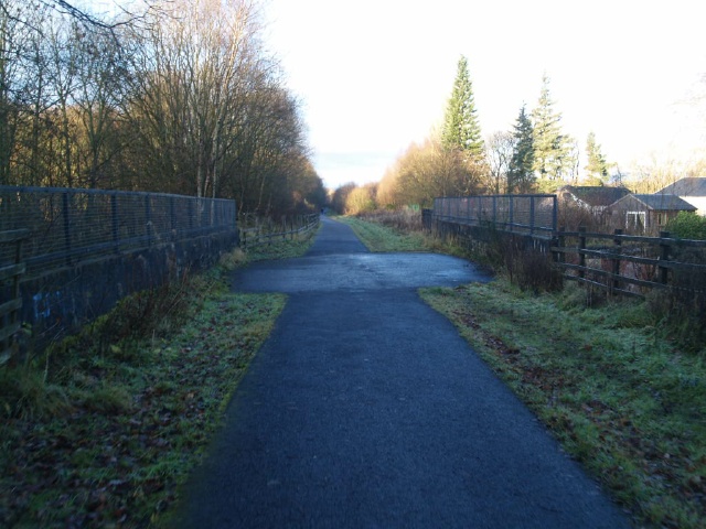
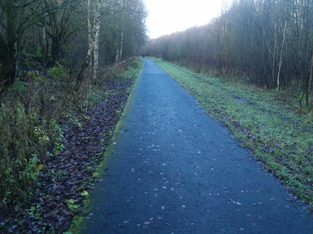
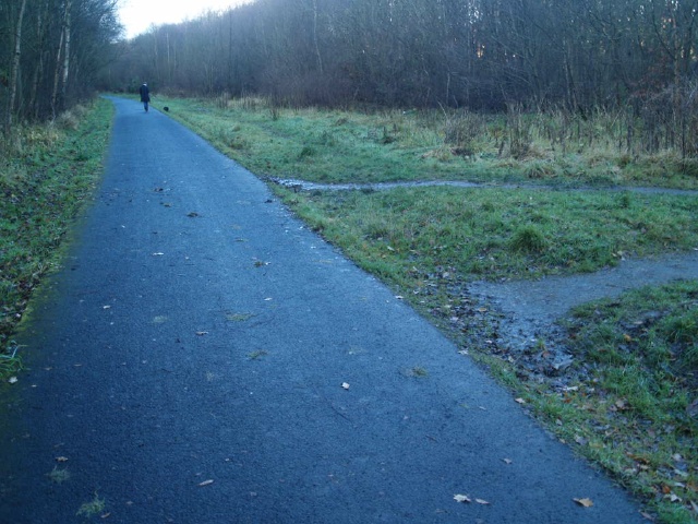
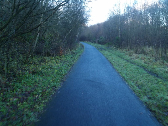
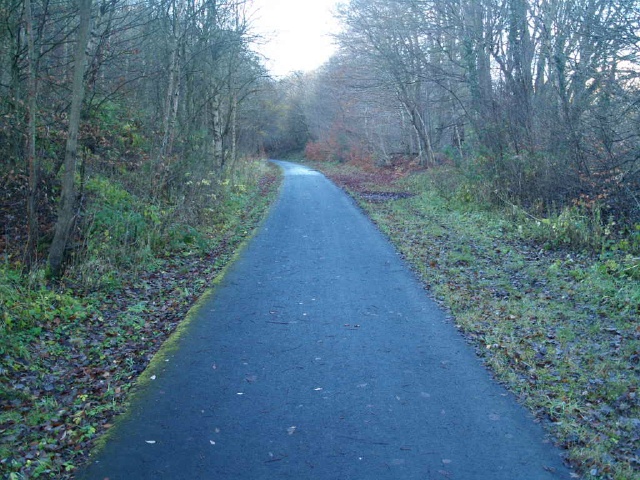
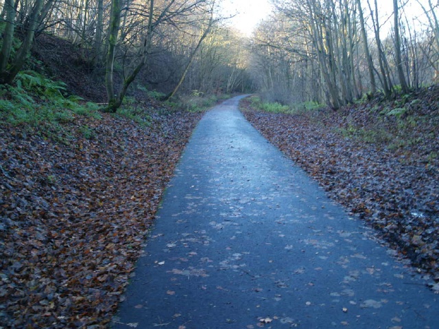
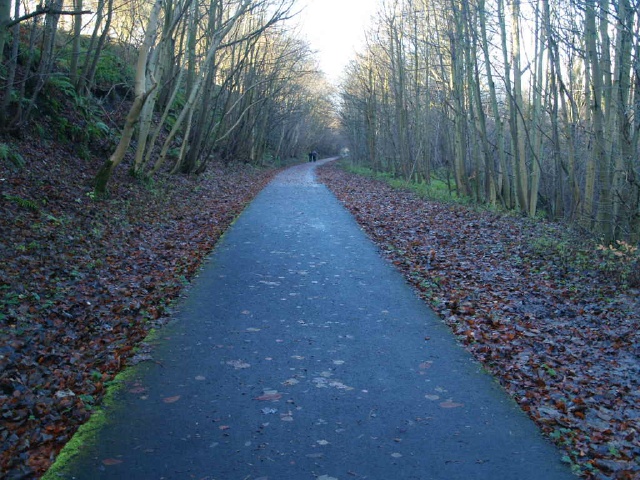
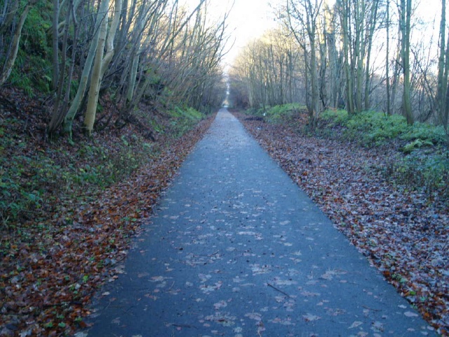
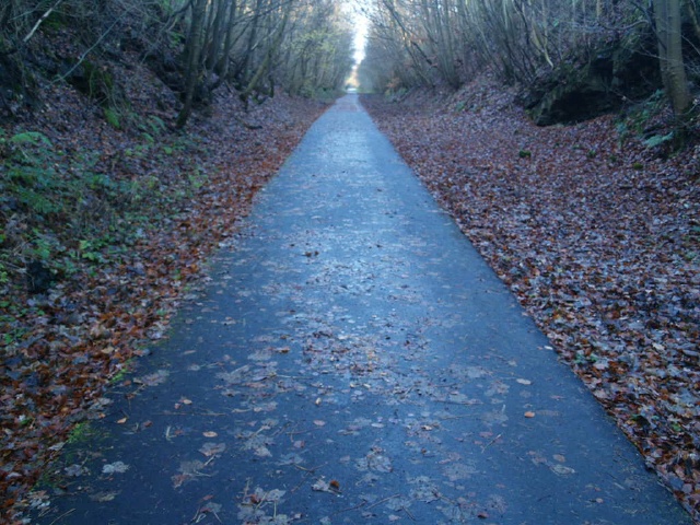
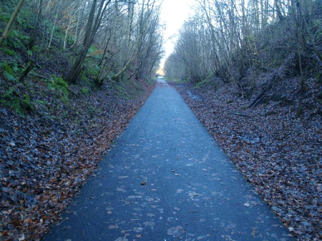
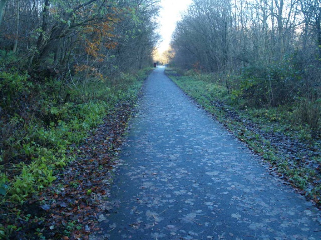
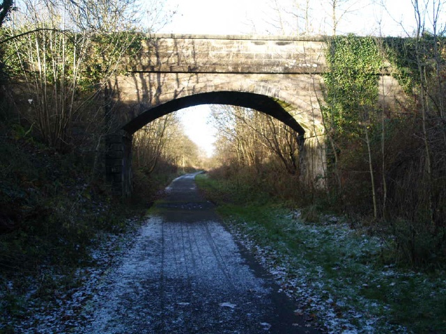
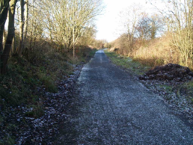
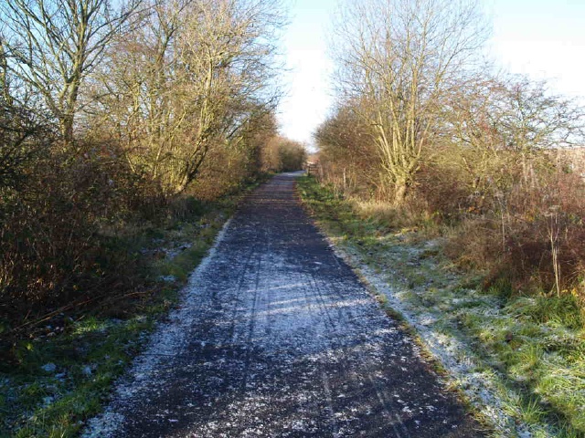
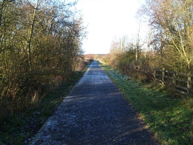
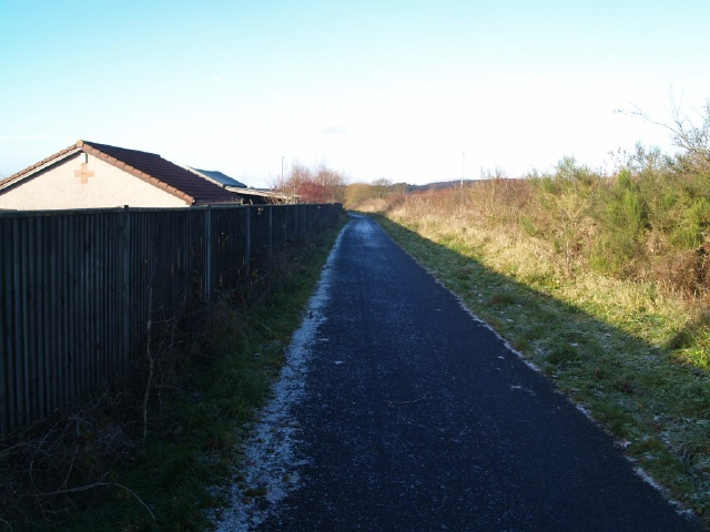
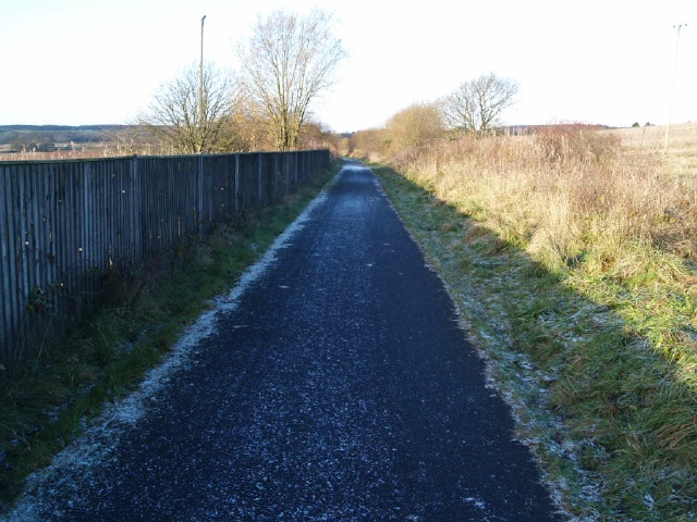
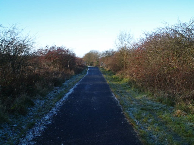
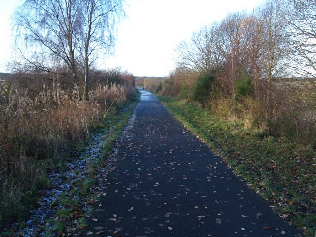
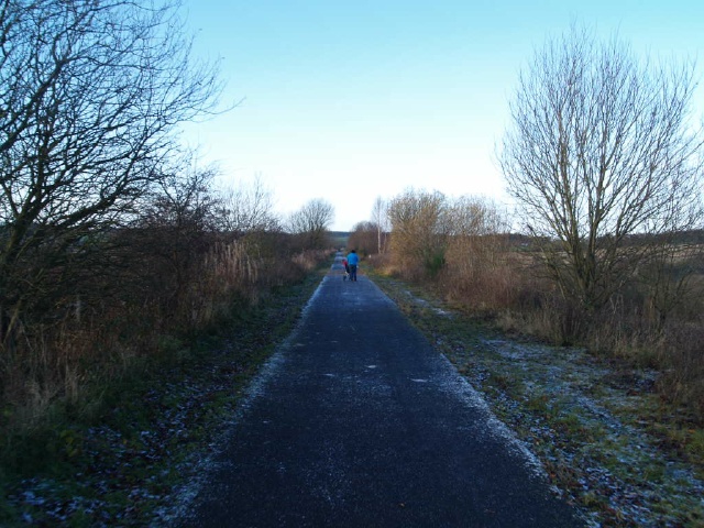
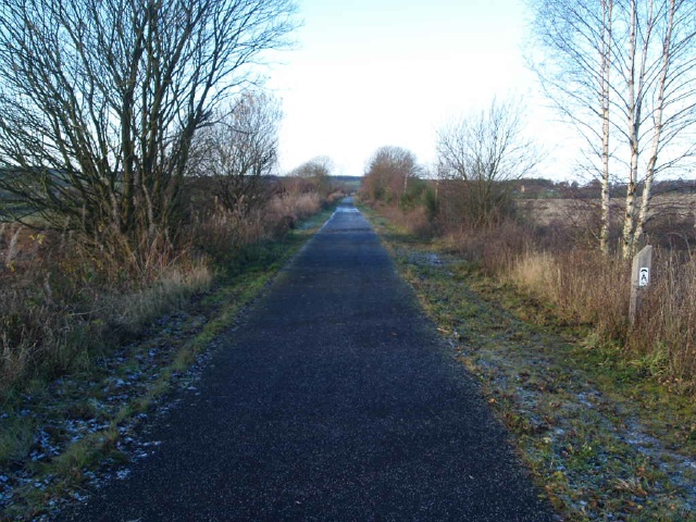
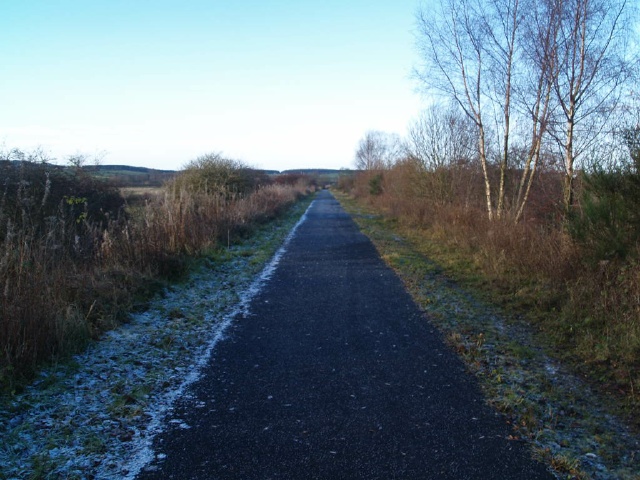
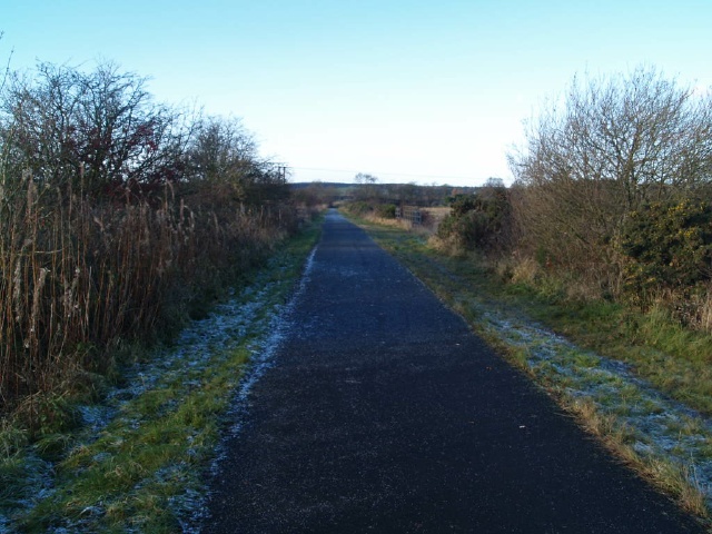
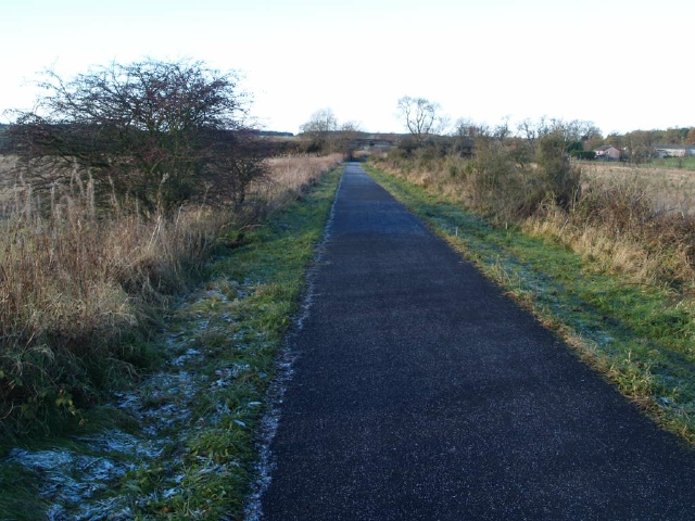
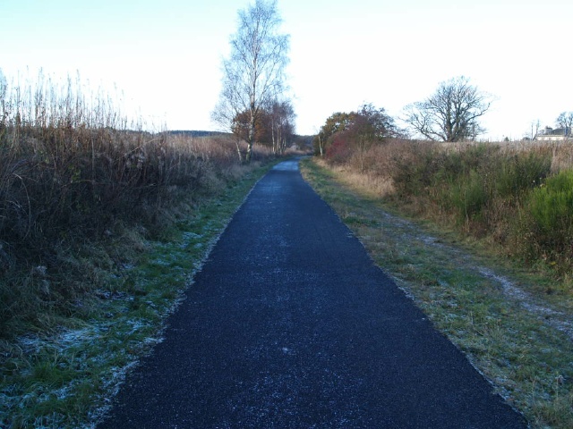
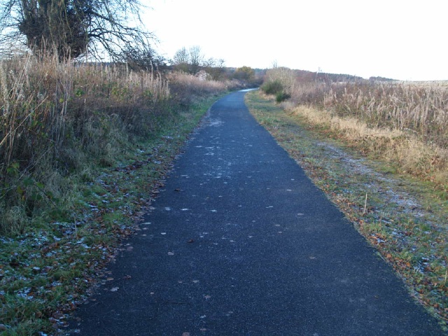
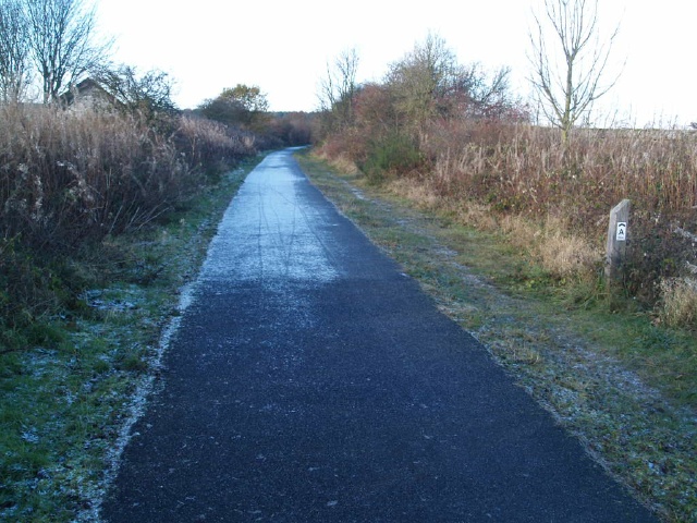
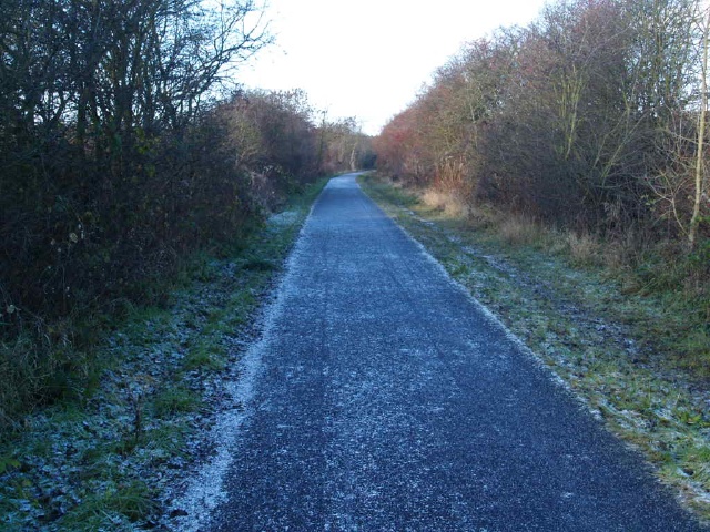
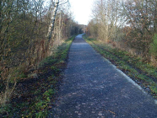
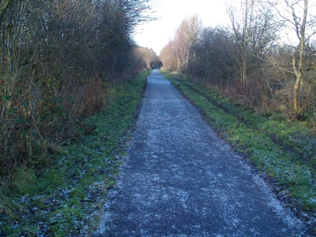
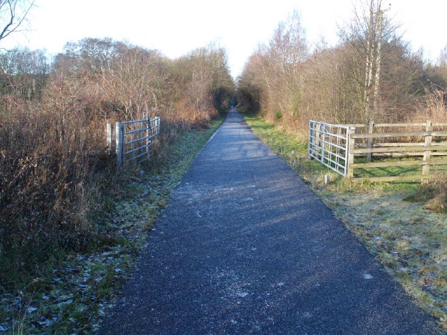
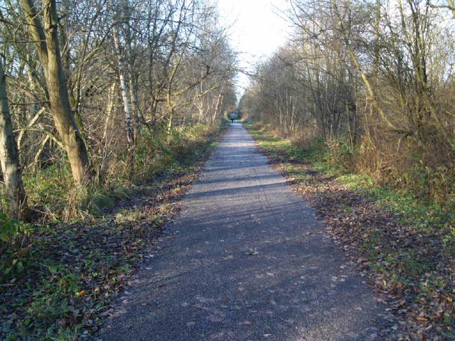
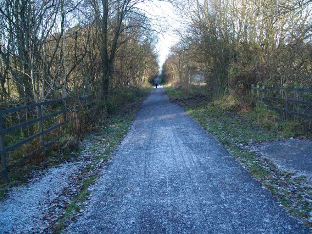
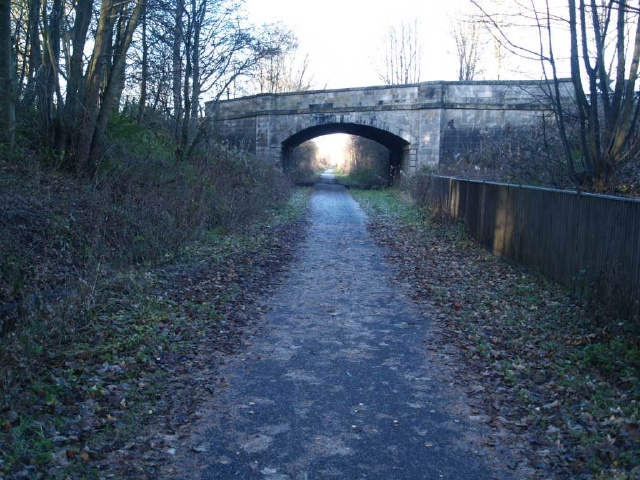
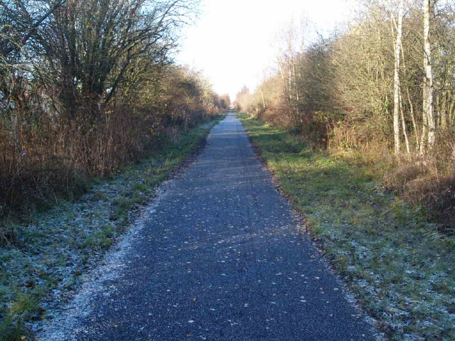
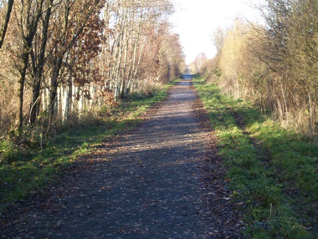
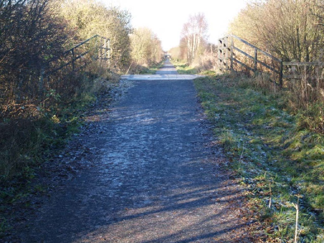
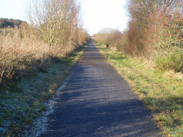
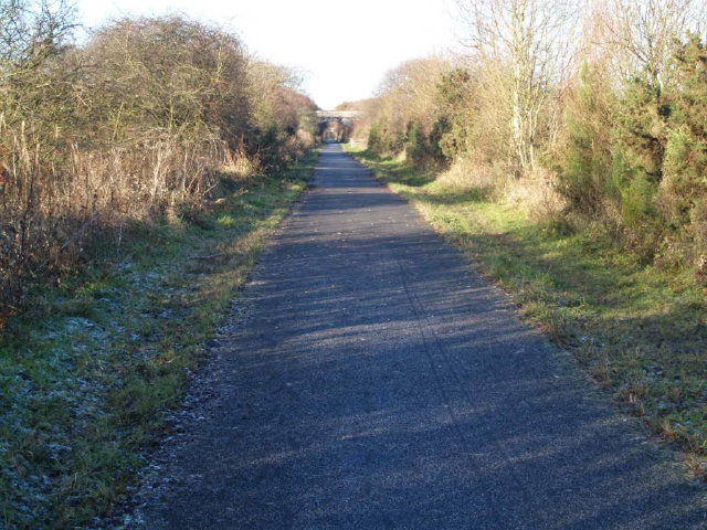
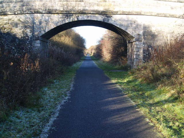
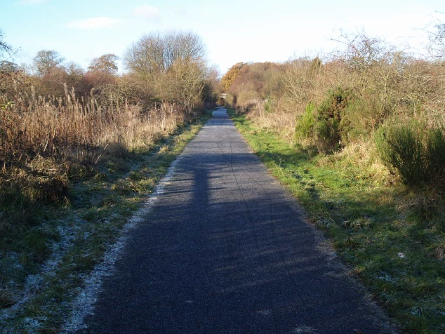
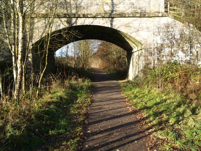
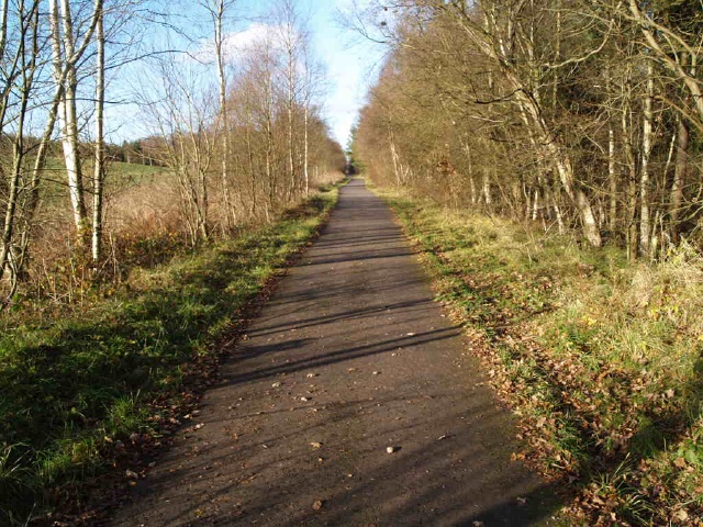
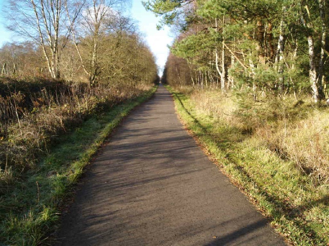
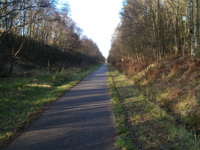
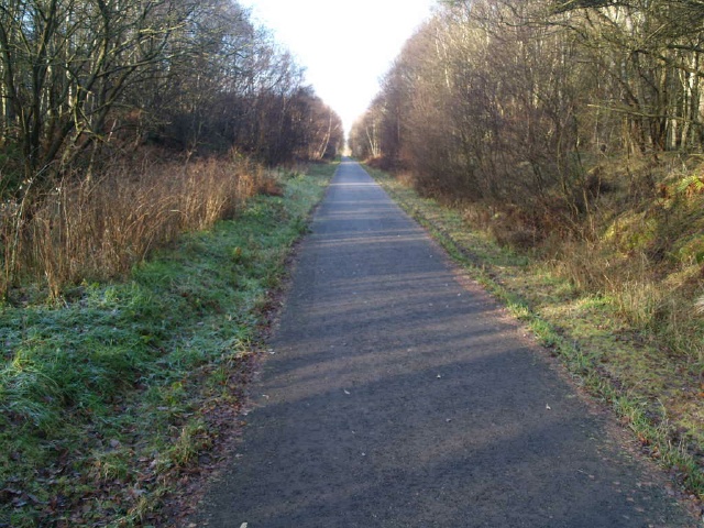
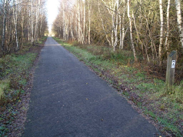
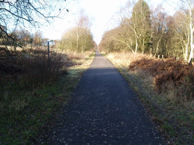
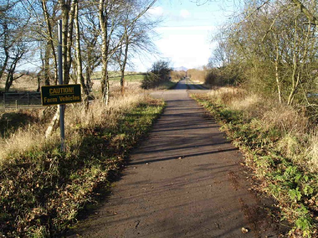
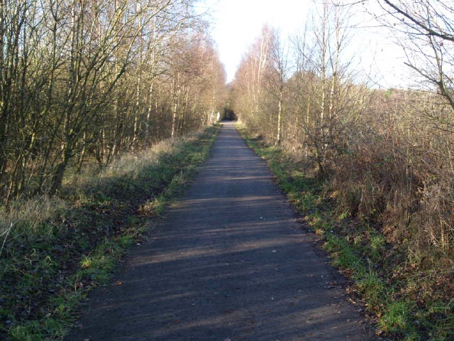
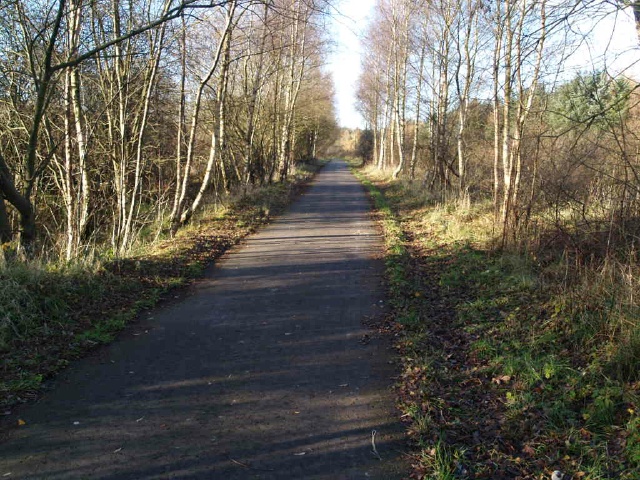
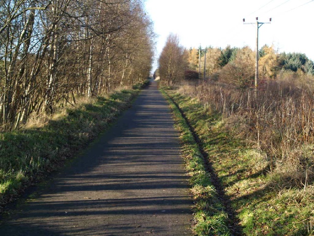
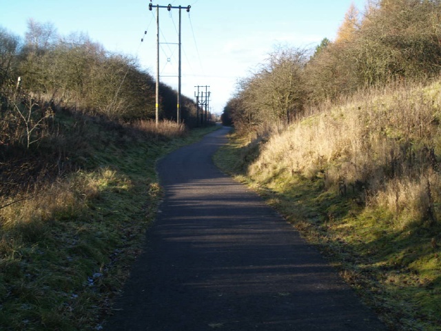
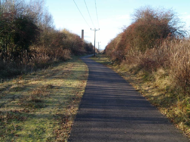
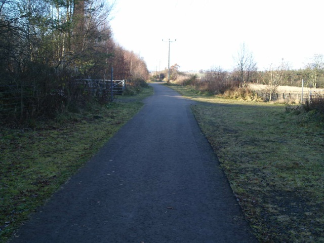
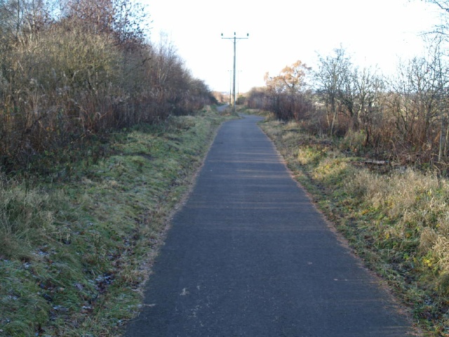
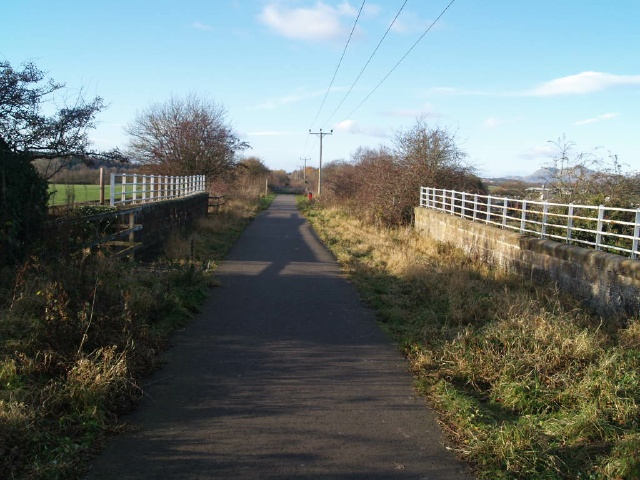
The cycleway starts at the car park off William Street, Dunfermline, the A907, 50m south of its junction with the B9155, Baldridgeburn.The trail has a good, 2m wide tarmac surface. There are no steep gradients except at the access road near Bogside and at the end of the trail coming off the old railway. (See Gradient map makers). There are 15 benches along the route but they are not evenly spread. There are also 13 mounting blocks for horse riders which could serve as resting points (See Seat map markers). There are a few gaps in barriers and one gate, the narrowest gap is about 850mm wide.Additional information about links onto the trail are given in the Extra Photographs
| OVERALL RATING: BLUE | ||
| Path Surfaces: | ||
| Maximum Climbing Gradient: | 1 - GREEN | 4% |
| Maximum Descending Gradient: | 2 - BLUE | -5% |
| Total Elevation Gain: | 225 metres | |
| Distance: | ||

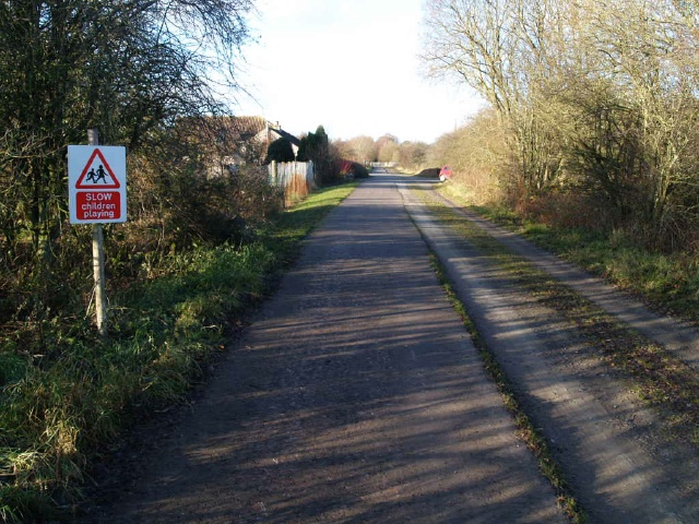
.JPG "The entrance to the car park is on William Street, Dunfermline, the A907, 50m south of its junction with the B9155, Baldridgeburn.Ordnance Survey Grid Reference NT081880")

 for about 40m.")


 for about 150m.")
")

")


")


.")


")


")


.A bench is available just off the path.")


")


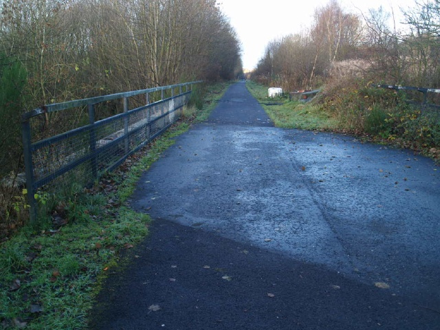
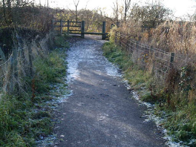
.The path along the railway line continues through the gap without a tarmac surface. There is also a mounting block.")

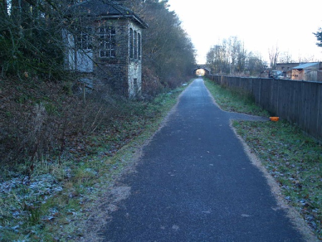
 at the barrier at the bottom of the ramp. The gap is wider than 1m.This is the end of the trail. There is a short link towards Clackmannan along the road to the right (running parallel to the railway line) (See Extra Photos)")
 (See Extra Photos)")
 for 3m.")
 for about 35m.")

")


 on the mud path to the cycleway.")
 gradient near the bollard.")


 on a narrow surface.")


 gradient for about 50m up to the cycleway.")
 gradient for about 50m up to the cycleway.")


 up to the cycleway from Comrie Glen.")

 has a small parking space. In this photograph access has been restricted by someone parking there.")
 has a small parking space. In this photograph access has been restricted by someone parking there.")

(1).JPG)