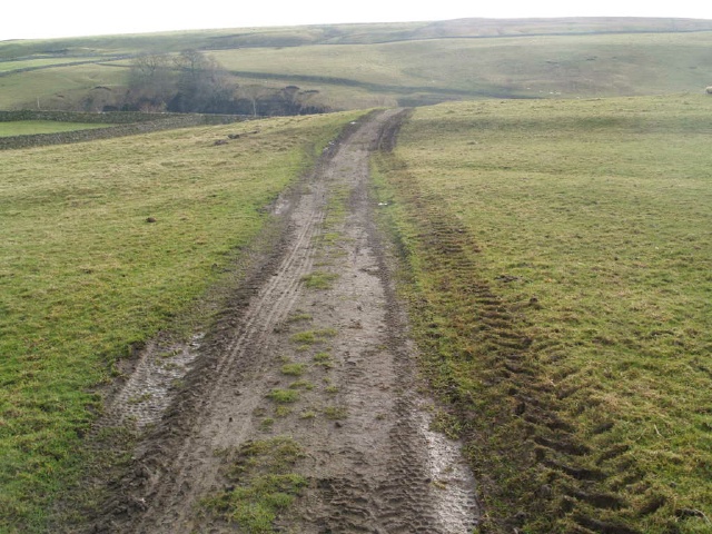
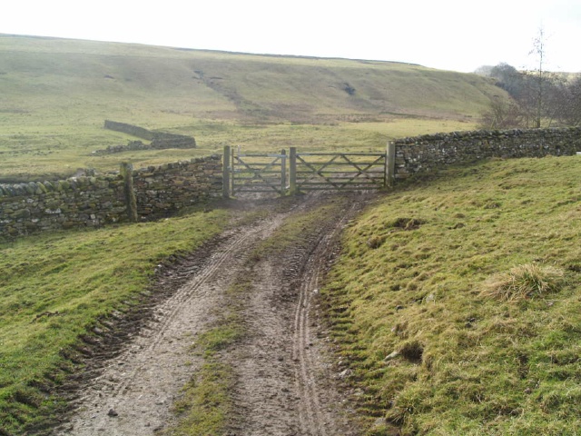
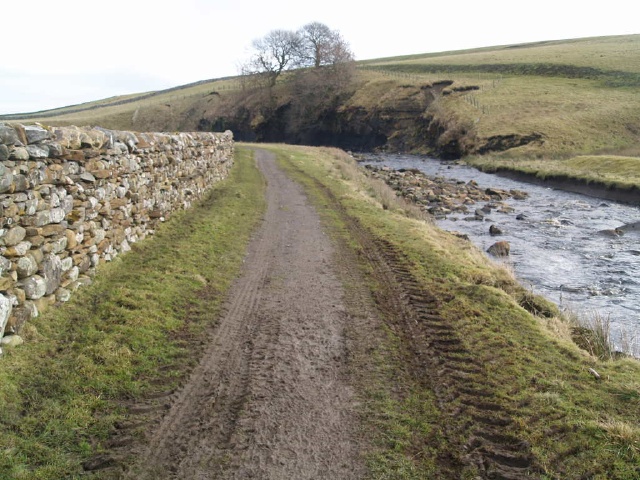
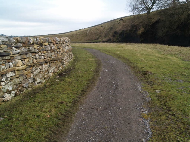
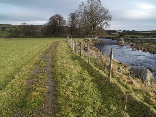
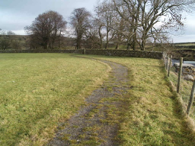
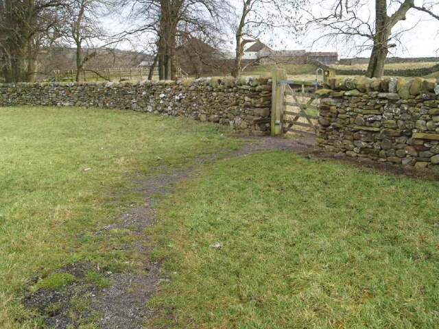
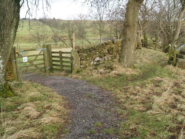
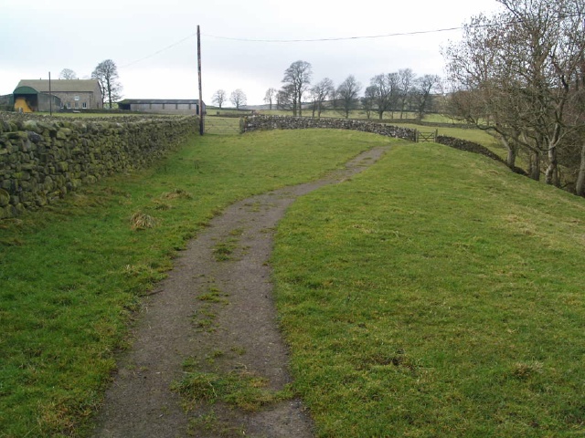
The walk is off the west bound A66 at ordnance survey grid reference NY968130. The trail is a circuit alongside two rivers. Where they meet gives the farm its name. The path has become a little overgrown and is uneven and narrow in places (check width and surface tags) There are are a few slopes to climb (check gradients tags)There are six gates along the route but they are all two way opening with easy to use latches.
| OVERALL RATING: BLUE | ||
| Path Surfaces: | ||
| Maximum Climbing Gradient: | 1 - GREEN | 4% |
| Maximum Descending Gradient: | 2 - BLUE | -5% |
| Total Elevation Gain: | 15 metres | |
| Distance: | ||


 approaching the stone wall.")


 with gradients as high as 20% (1:5) in a couple of places.")

 for 5m just before the second gate.")


.")


")


 for 14m or so.")


.(You don't need to cross the cattle grid to return to the car park.)")


