Route Description
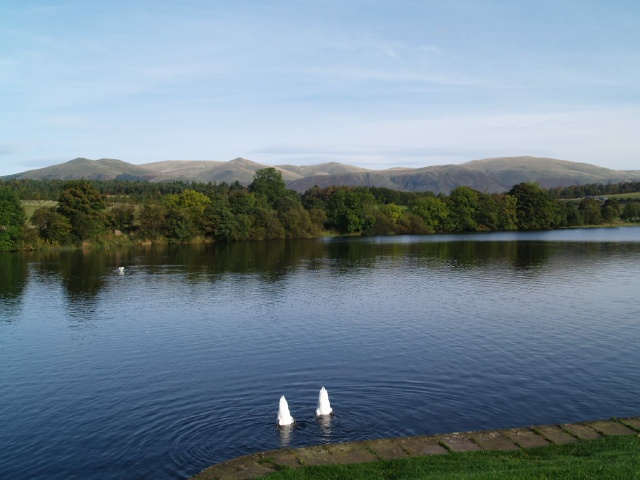
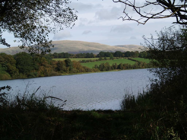
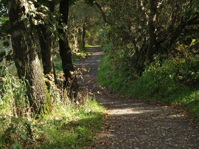
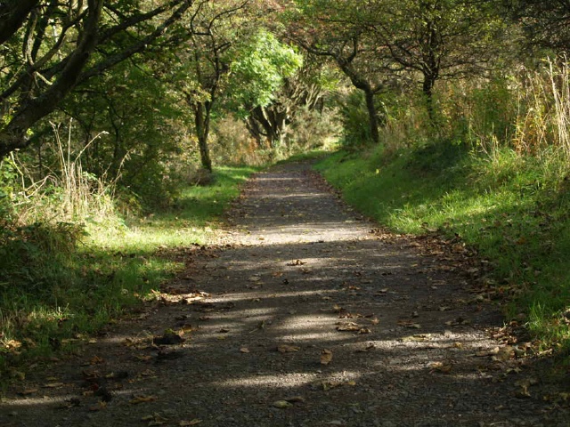
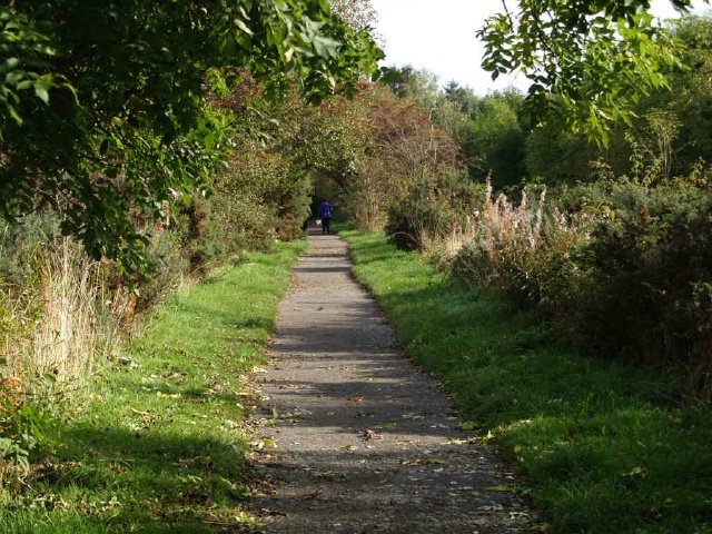
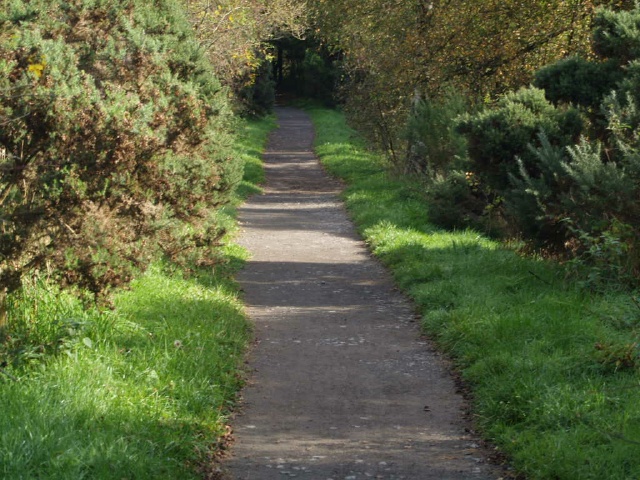
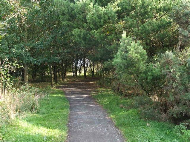
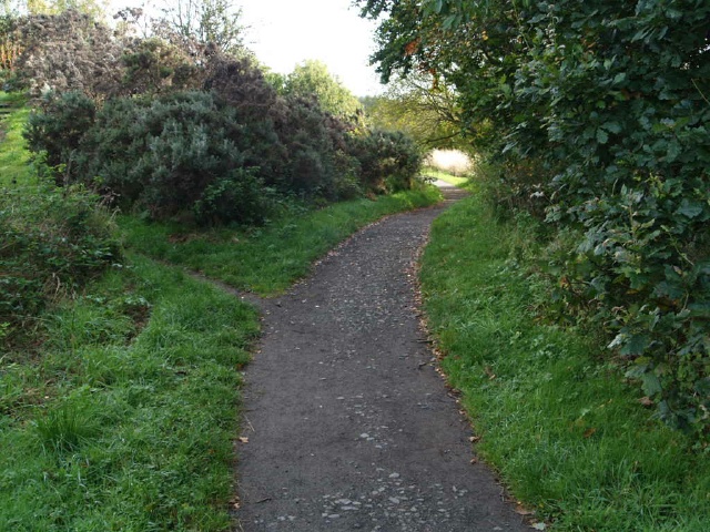
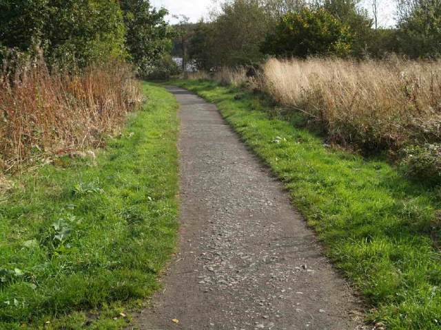
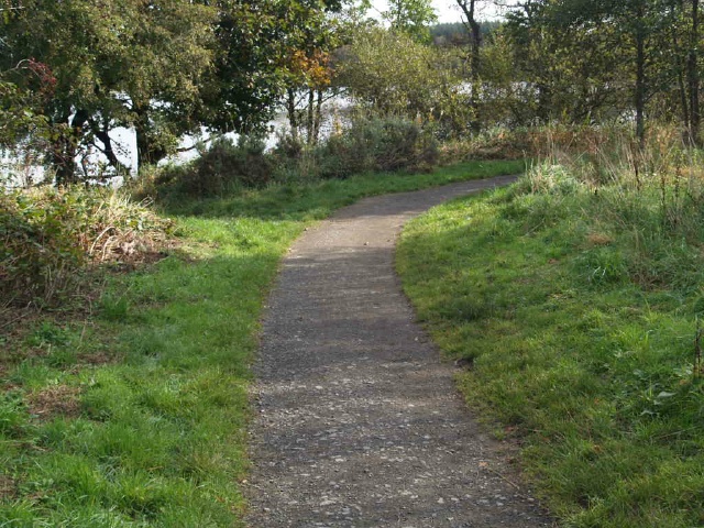
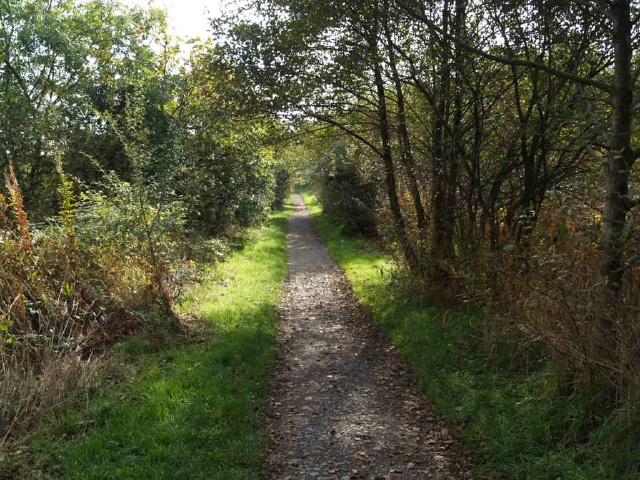
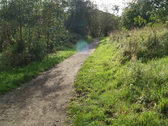
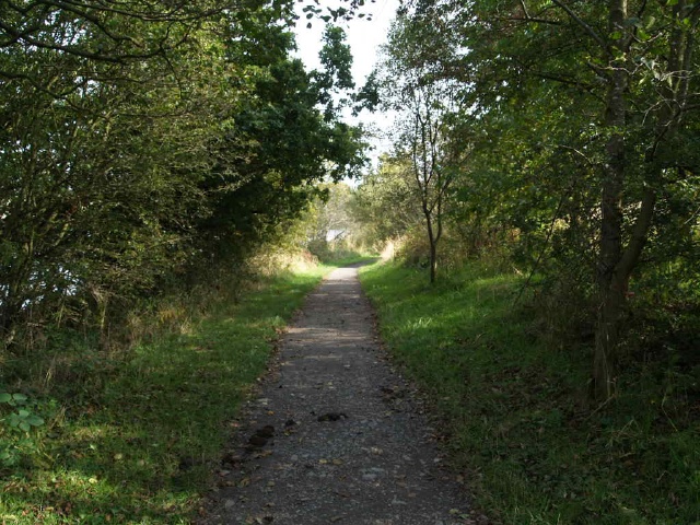
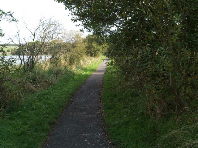
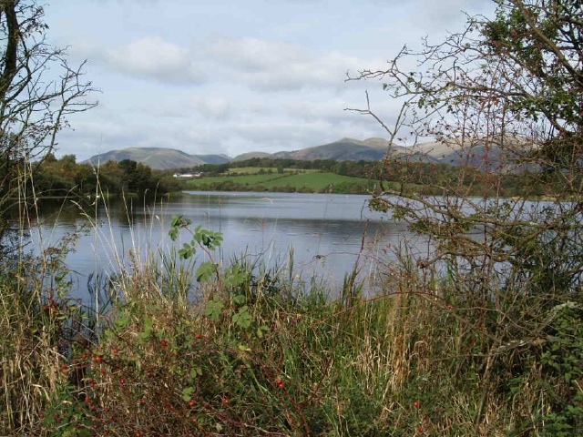
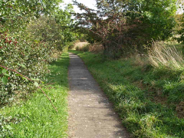
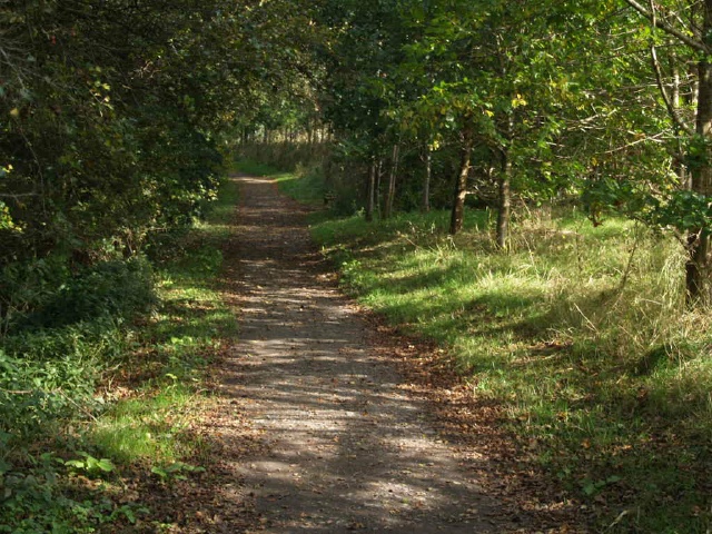
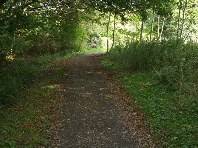
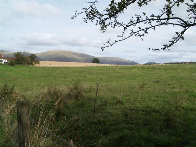
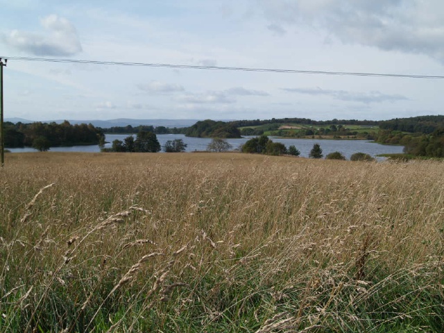
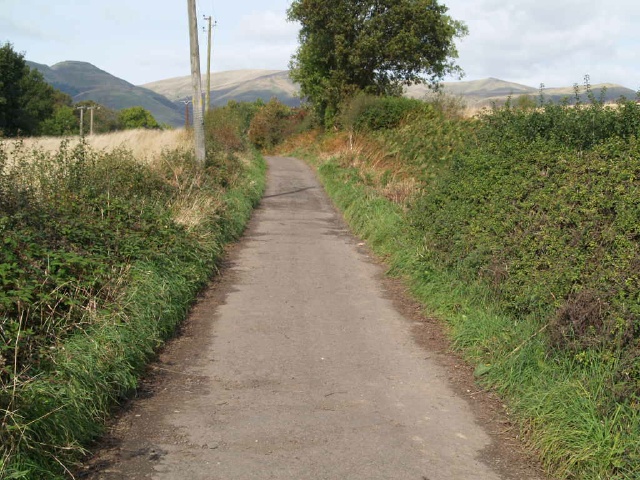
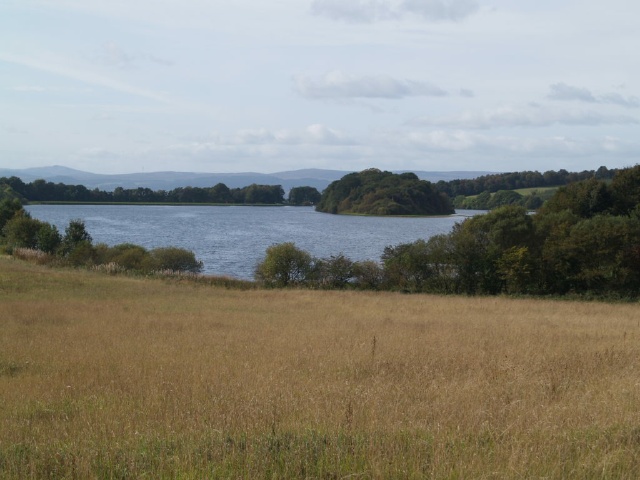
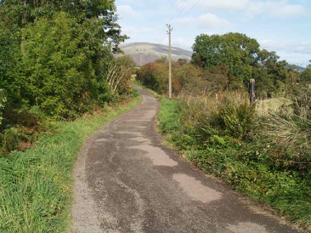
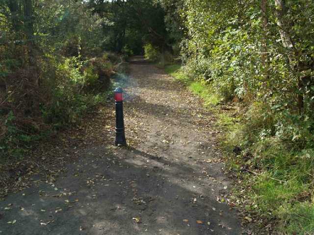
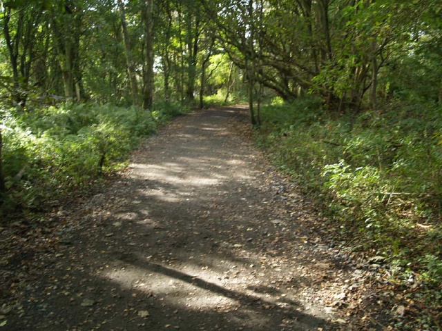
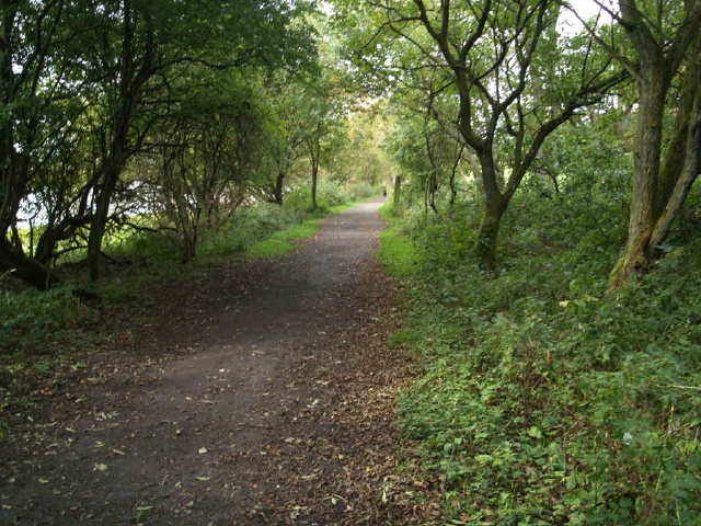
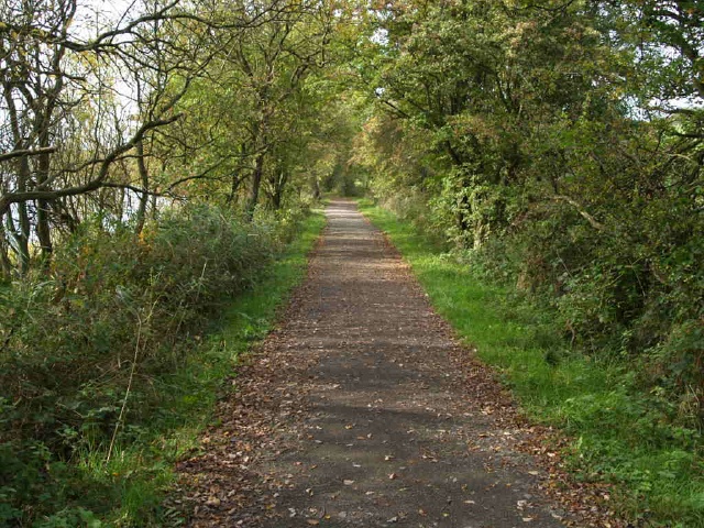
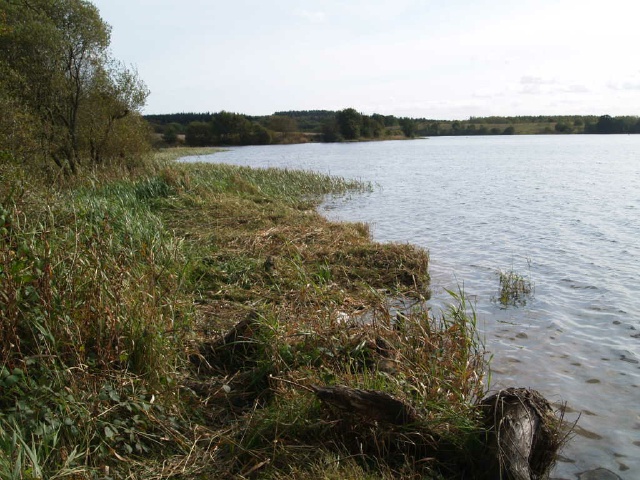
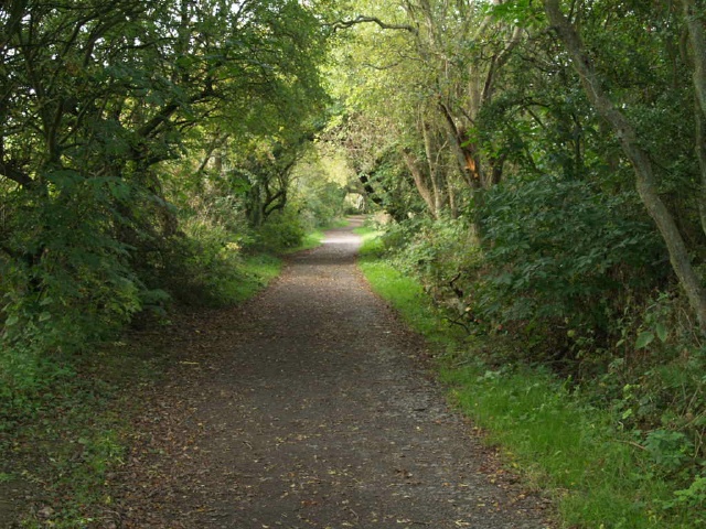
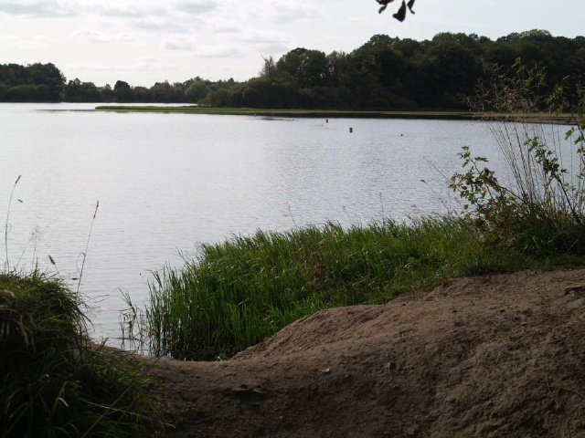
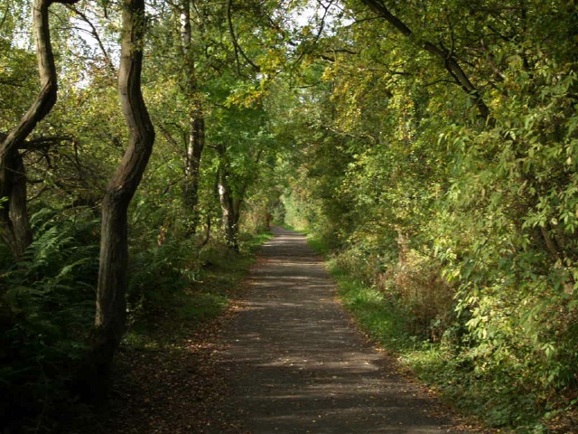
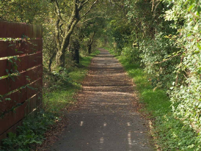
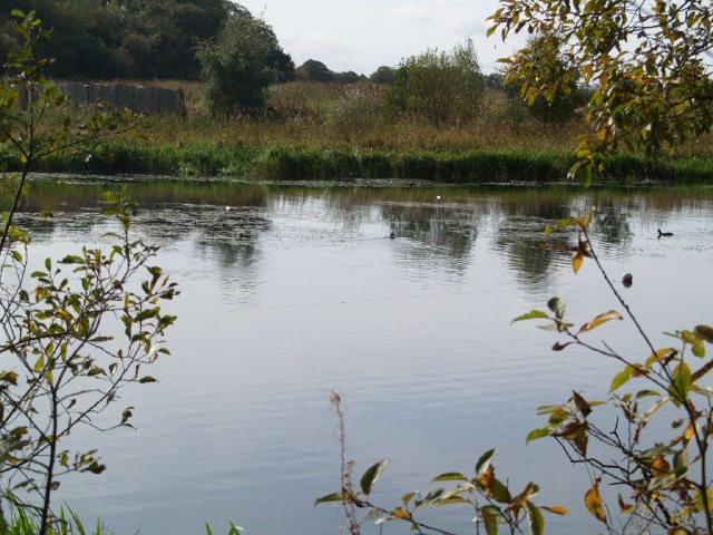
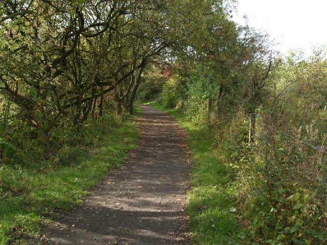
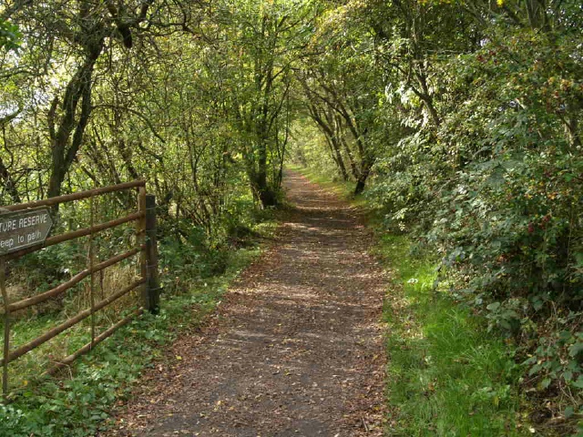
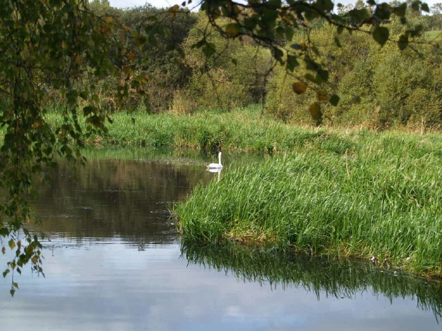
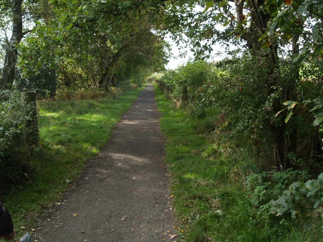
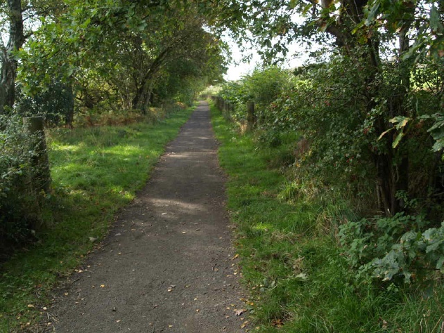
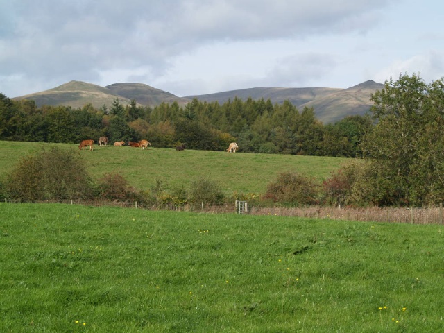
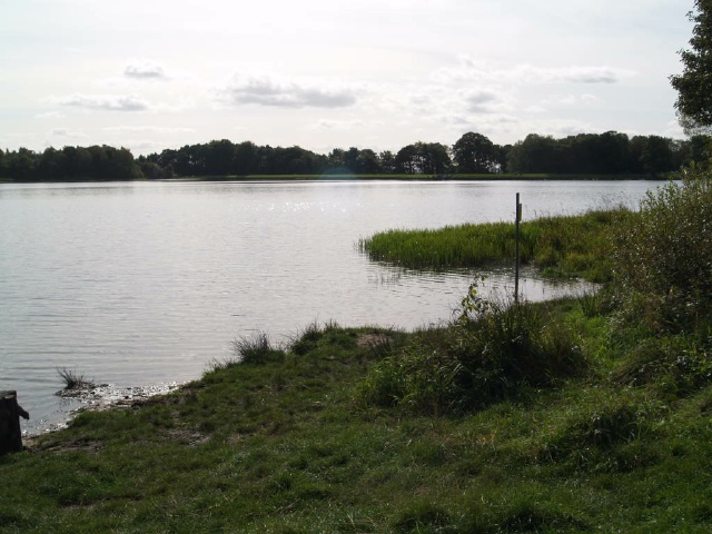
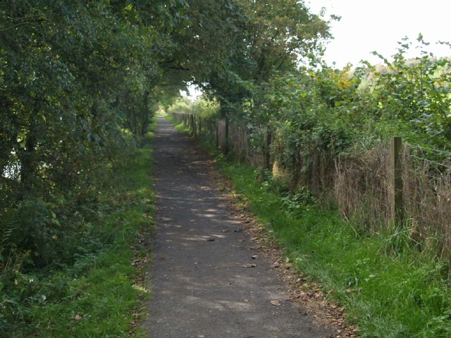
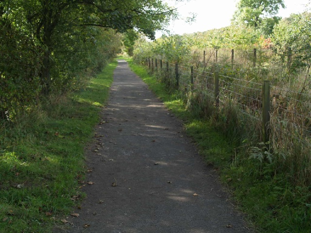
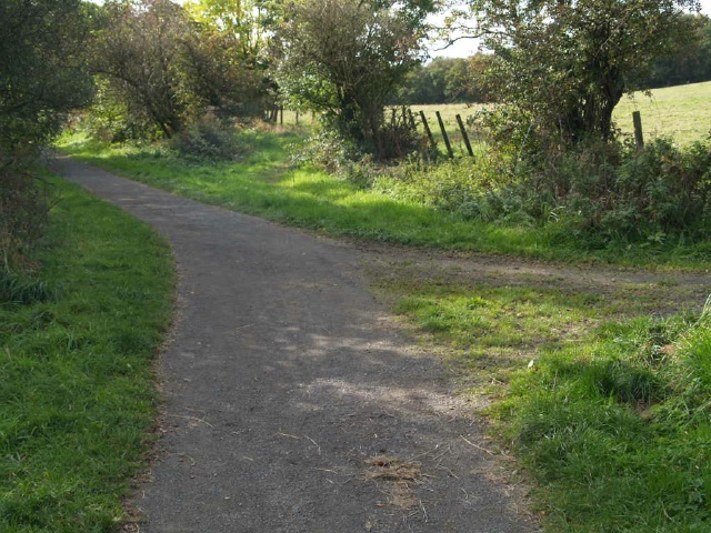
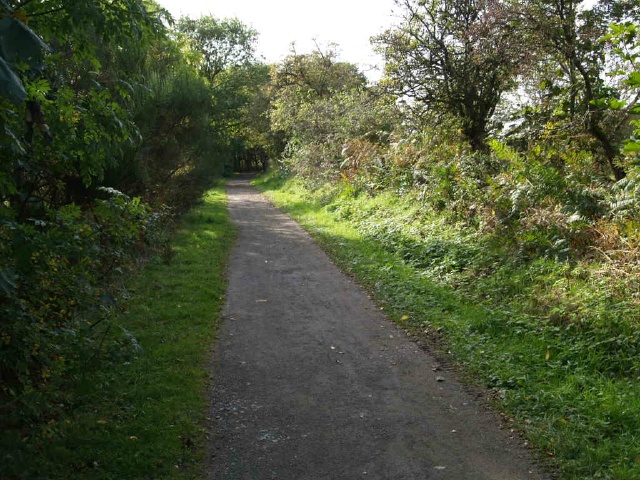
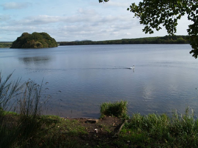
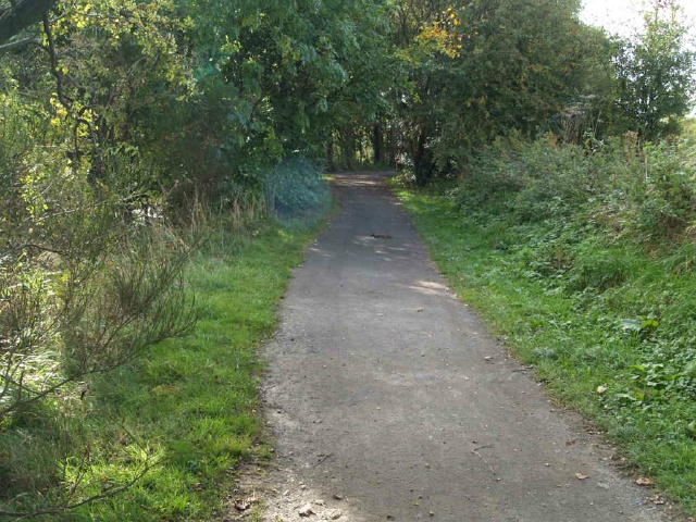
This is a pleasant walk round a reservoir with excellent views to the Ochills. The path starts at the Visitor Centre. There are three car parking areas nearby. The disabled parking is immediately in front of the Visitor Centre where there are accessible toilet facilities and refreshments available. Most of the walk is level on a firm paths. There are a few gradients at about 9% (1:11) and one of 16% (1:6) for 20m. There are also a few places where the surface is a little uneven with some loose stones. (Check surface and gradient tags for details) There are lots of seats near the visitor centre but fewer at the far end of the reservoir. The route is used by some cyclists and horse riders.
Surveyed by: Fieldfare Oct 09
Accessibility Rating: 4
Distance: 4.8 km
Approaching the country park there is some parking straight ahead and more nearer the visitor centre which is along the road to the right.
The path starts at the Visitor Centre. There are three car parking areas nearby. The disabled parking is immediately in front of the Visitor Centre. There are accessible toilet facilities and refreshments available at the Centre.
The route is used by some cyclists and horse riders.
The path is wide enough for two people side by side over most of its length but there is a stretch of 200m or so that is narrows to about 750mm.
There are 20 picnic tables or benches located off the path all the way round the walk though they are not evenly spaced.
There are several sections of the trail where it passes through wooded areas. There may be quite large variations in light and shade depending on the time of year and how sunny it is.
At the fork in the path bear right.
The other path goes closer to the water's edge but there are steps on that section.
As the path returns towards the water's edge it forks. Take the left hand fork this time.
There are some tree roots that make the surface of the path uneven at this point.
An information board gives details of more local paths although it is quite dirty and not easy to read.
There is a short steep gradient of 14% (1:7) for about 6 metres. The surface is a little uneven at this point as well.
There are several sections of the trail where it passes through wooded areas. There may be quite large variations in light and shade depending on the time of year and how sunny it is. The surface may become quite muddy after rain.
The route forks where there is a sign to a picnic site. The path to the right leads to the picnic table which is in the middle of a grassy area a little way from the path.
The path around the reservoir continues to the left
For about 150m the path is a little narrower (approximately 800mm).
It is also more uneven with some loose stones on its surface.
After a small step (25mm) the path widens out as it passes the farm house with a formal paved area for approx 15 metres
There are several sections of the trail where it passes through wooded areas. The edge of the path may not be very clear especially if there are leaves covering the surface.
There may be quite large variations in light and shade depending on the time of year and how sunny it is.
There are several sections of the trail where it passes through wooded areas. The edge of the path may not be very clear especially if there are leaves covering the surface.
The bird hide has a steep ramp at its entrance. It has a gradient of 23% ( 1:4) for about 2 metres. The door to the bird hire opens inwards and may be difficult for some people from the ramp.
There is a long stretch of path returning to the visitor centre all of which is wide enough for 2 people walking side by side
There is a picnic and barbecue area on the grass near one of the car parks.
The concrete ramp has a gradient of 10% (1:10) for about 6m.
Gartmorn Reservoir Photo Trail
Map Markers
The route is shown as a red line. You can show or hide the types of points indicated on the map using the checkboxes below.
Show All Points | Show No Points
A map of the route is shown above -
- click on any marker point to view a photograph and the description of that point
- to zoom in or out use the navigation tool on the top-left of the map
- click and drag to change the centre of the map
- you can change to map/terrain/satellite/hybrid (satellite + map) views using the control on the top-right of the map
Route directions are shown below the map.
- Click on any marker icon in this list to highlight that point on the map and show a photo of that spot.


Accessibility