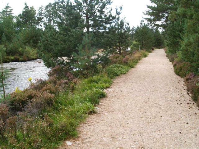
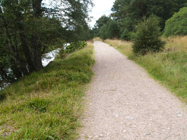
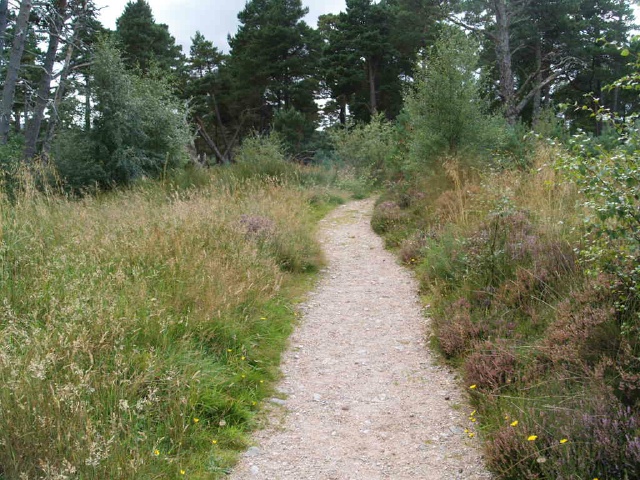
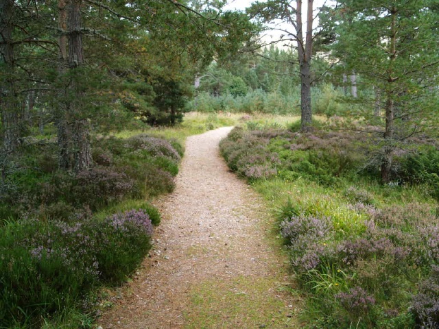
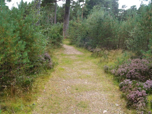
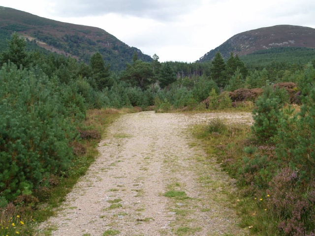
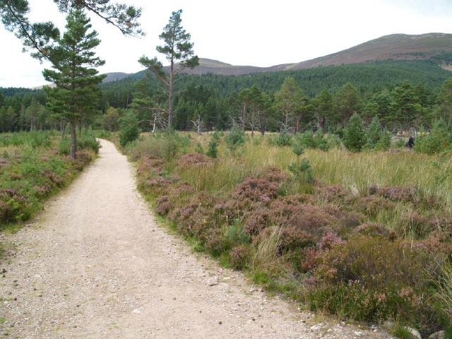
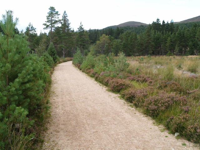
This 2.5Km circular path has a stepped bridge near the start of the walk which may make it difficult to complete for some people.The remainder of the walk is on crushed stone paths and forest tracks with one gentle slope of over 100m and patches where the surface is a little uneven and narrow.The car park is at Ordnance Survey Grid Reference NH983087
| OVERALL RATING: BLUE | ||
| Path Surfaces: | ||
| Maximum Climbing Gradient: | 2 - BLUE | 5% |
| Maximum Descending Gradient: | 2 - BLUE | -7% |
| Total Elevation Gain: | 43 metres | |
| Distance: | ||


 for about 150m.")
")


")