Route Filmstrip & Description
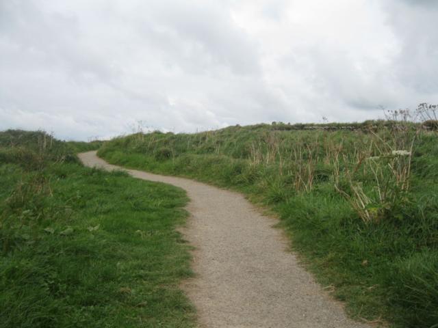
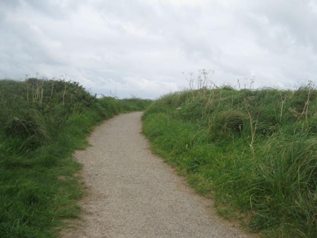
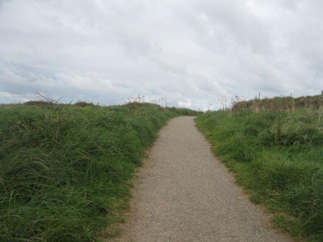
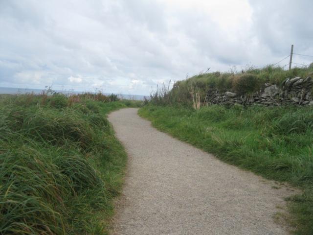
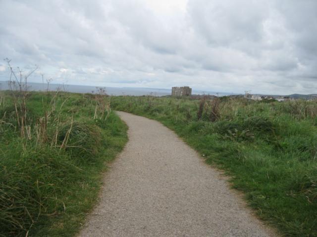
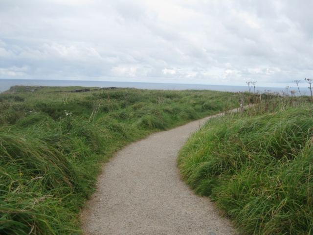
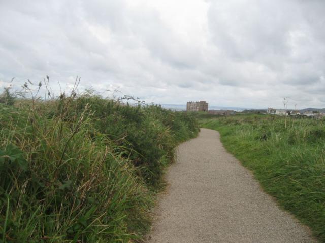
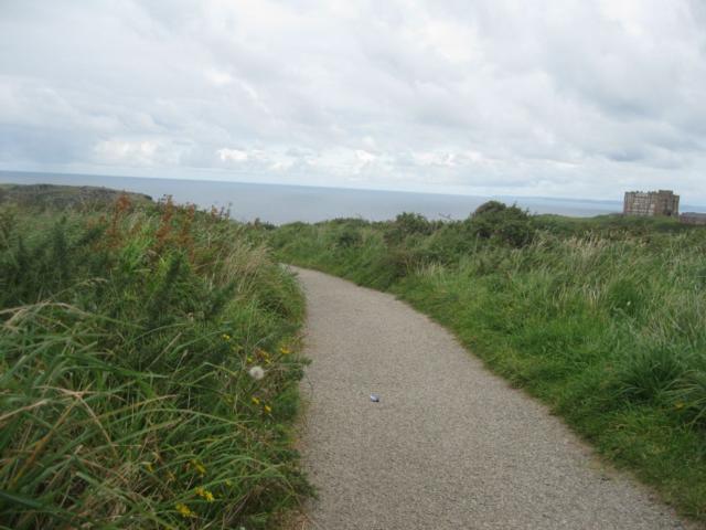
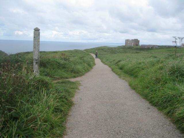
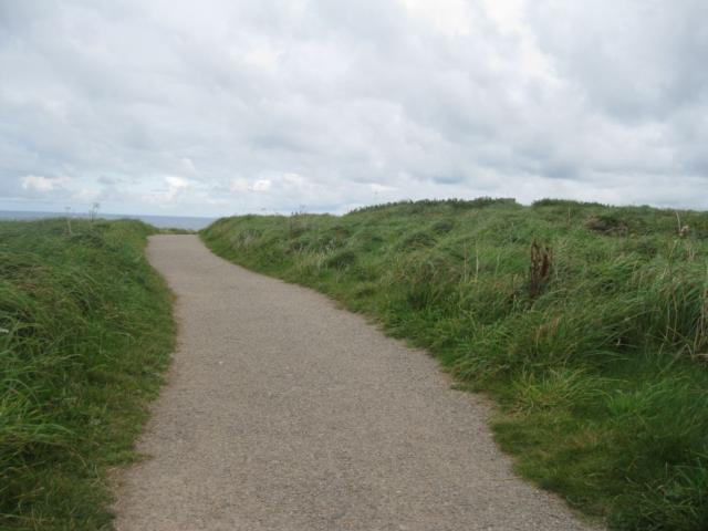
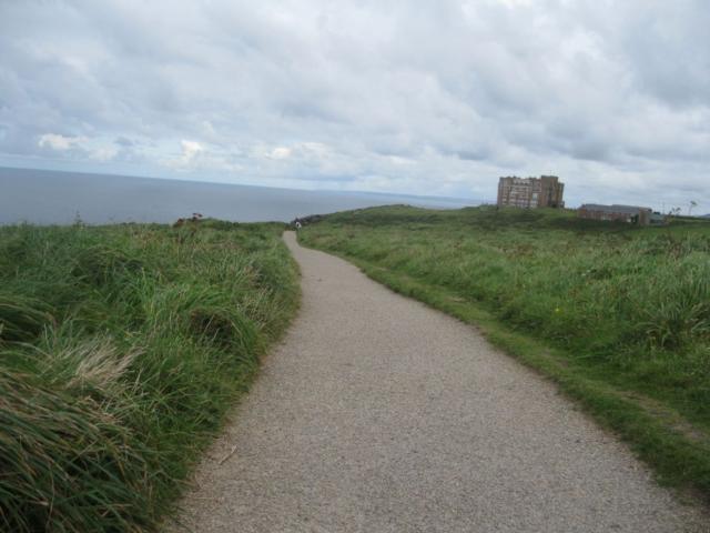
The small car park at the start of the walk is close to the medieval cliff top church of St. Materianas. Its ancient graveyard hedge, built in the "cursyway" style, is encrusted with beautiful lichens. The path takes you through a mix of coastal scrub and grassland. Plants and shrubs include gorse, bell heather, sea pink, kidney vetch, foxglove, toadflax, spring squill and sea campion. Look out for resident stonechats, kestrels and rock pipits, and, in summer, visiting breeding whitethroats. The occasional peregrine falcon is sometimes seen as are migrating wheatear in the spring and autumn months. This walk also affords cliff top views of the sea and of the island of Tintagel Castle (said to be linked to King Arthur). Near the car park there is an interpretation board, with information on the historical remains of local slate quarries, and a picnic bench. Both are wheelchair friendly. for more information see- http://www.southwestcoastpath.com/walksdb/42/ and http://www.cornwallrr.org.uk/
Surveyed by: Steve CRR, September 2012
(Autumn)
Accessibility Rating: 1
Distance: 0.4 km
Car Park: Car park has an uneven surface
Steps: No
Barriers: No
Toilets: Yes

Grebe Cliff Phototrail
Map Markers
The route is shown as a red line. You can show or hide the types of points indicated on the map using the checkboxes below.
Show All Trail Points | Show No Trail Points | Show Summary
Accessibility Info | Amenities Info | Facilities Info | Features Info | Way Finding Info | ||||||||||||||||||||||||||||||||||||||||||||||||||||||||||||||||||||||||||||||||||||||||||||||||||||||||||
---|---|---|---|---|---|---|---|---|---|---|---|---|---|---|---|---|---|---|---|---|---|---|---|---|---|---|---|---|---|---|---|---|---|---|---|---|---|---|---|---|---|---|---|---|---|---|---|---|---|---|---|---|---|---|---|---|---|---|---|---|---|---|---|---|---|---|---|---|---|---|---|---|---|---|---|---|---|---|---|---|---|---|---|---|---|---|---|---|---|---|---|---|---|---|---|---|---|---|---|---|---|---|---|---|---|---|---|---|---|---|
|
|
|
|
|
A map of the route is shown above -
- click on any marker point to view a photograph and the description of that point
- to zoom in or out use the navigation tool on the top-left of the map
- click and drag to change the centre of the map
- you can change to map/terrain/satellite/hybrid (satellite + map) views using the control on the top-right of the map
Route directions are shown below the map.
- Click on any marker icon in this list to highlight that point on the map and show a photo of that spot.
Got something to say about this Phototrail? Let us know!
Vertical Profile
This is an approximate vertical profile with samples taken at 100m intervals along the trail.
