Route Filmstrip & Description
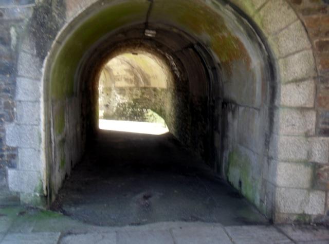
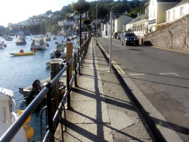
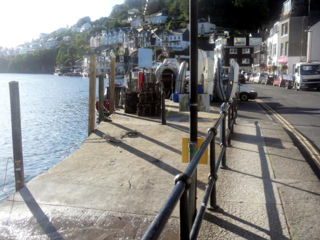
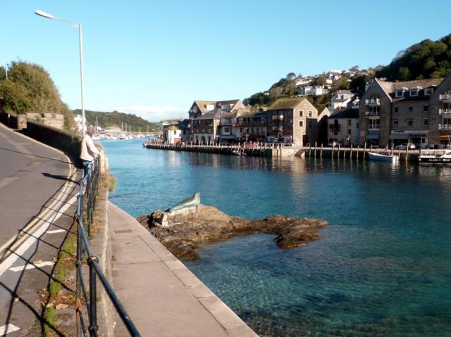
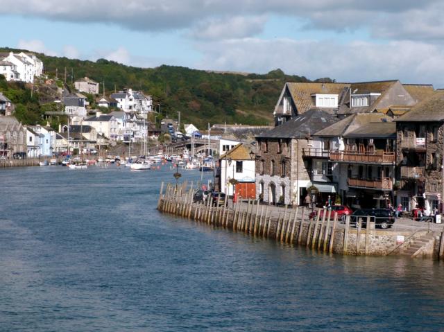
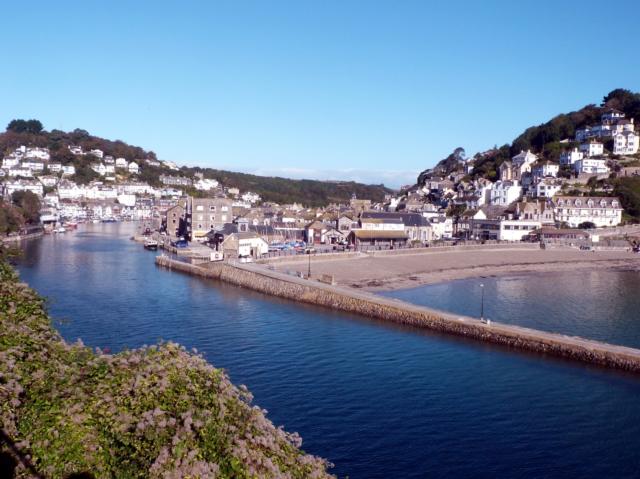
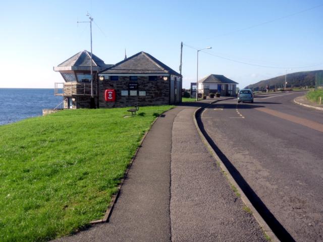
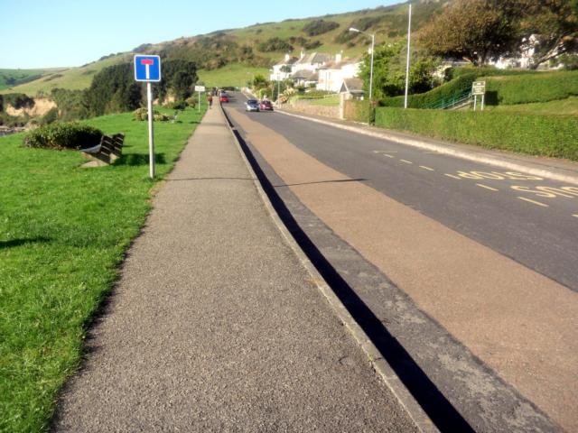
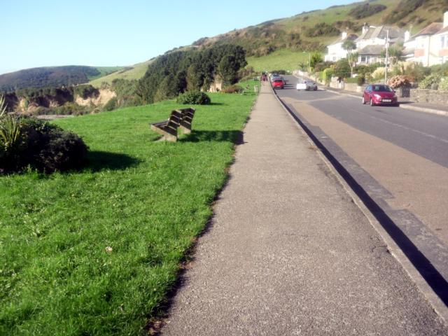
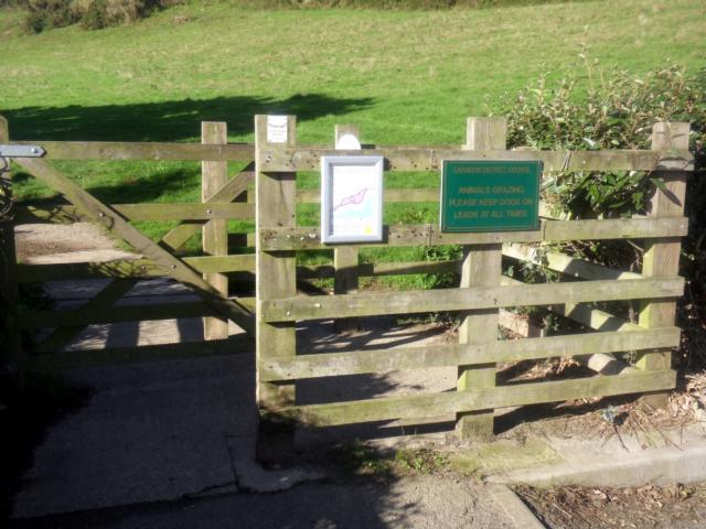
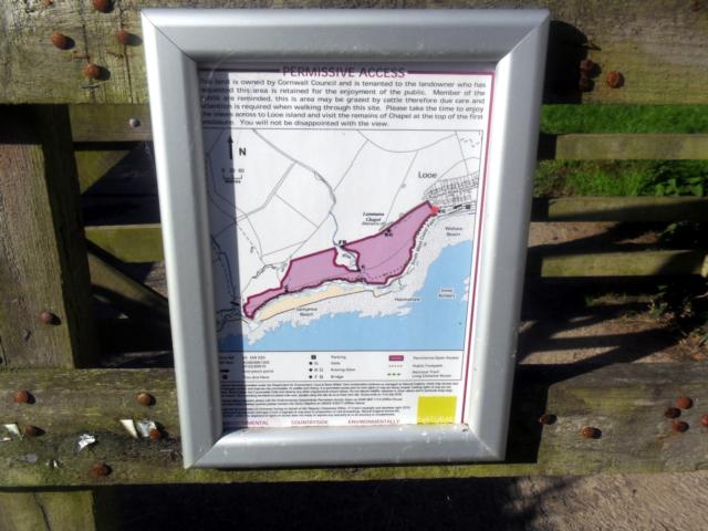
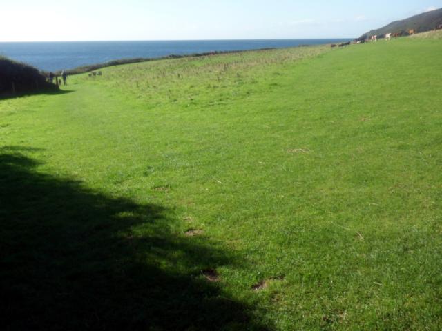
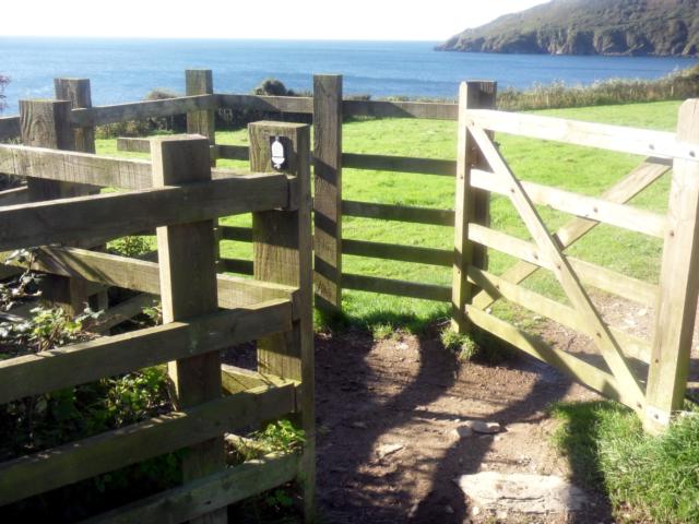
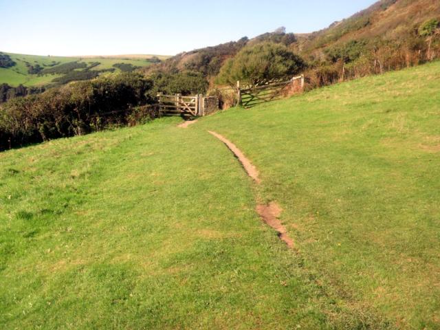
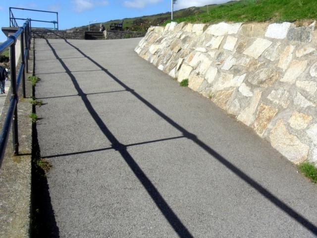
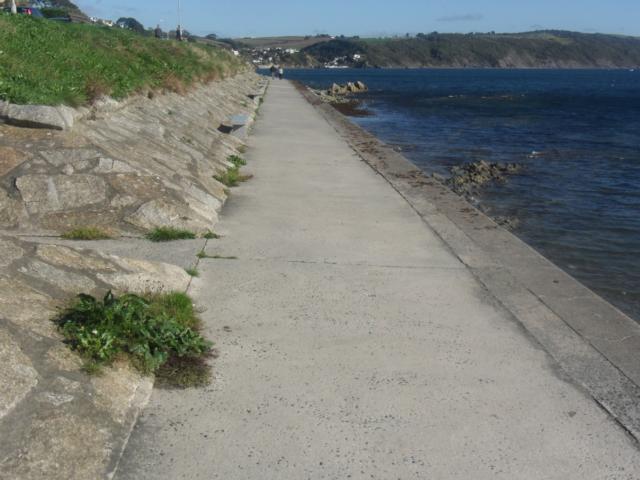
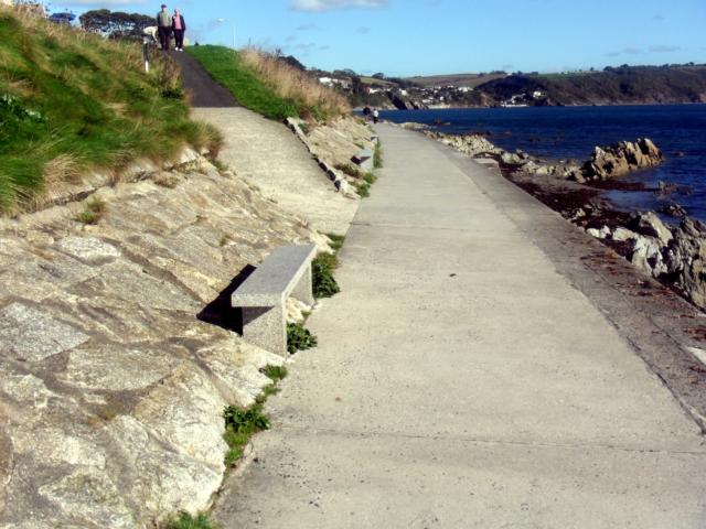
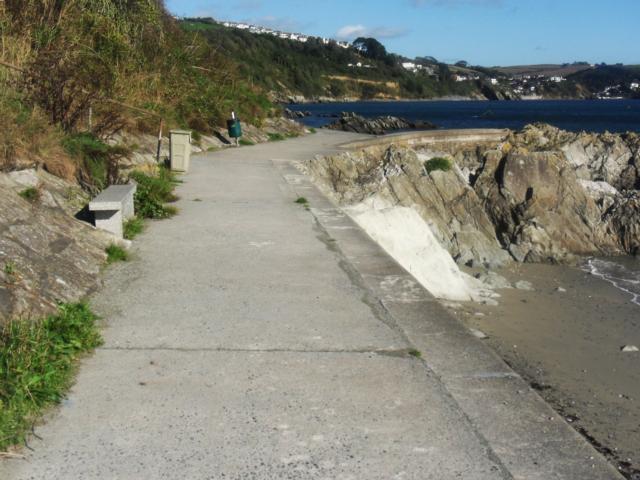
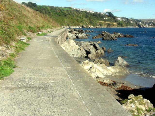
From the large car park at Millpool, through West Looe, out to Hannaford Point and beyond. This is a gentle, mainly level walk on good surfaces. When the road ends beyond Hannaford, then the Coast Path continues for a couple of fields through two gates before the path becomes very difficult for wheelchairs and pushchairs. The fields are eminently passable with short grass and a reasonably level surface. Back in West Looe, there is one section where the coast path goes up some steps but by keeping to the road and going up a gradient of 1:15 for about 100m you can avoid the steps. This road leads to stunning views of Looe and the river and is well worth the effort. Further on, the views from Rame Head, to St Georges Island and on to Portnadler Bay are wonderful.
Surveyed by: Allan Ginman, October 2013
(Autumn)
Accessibility Rating: 2
Distance: 4.4 km
Car Park: Millpool Car Park, West Looe - PL13 2AF. Fee payable.
Steps: There are steps where the SWCP re-meets Hannaford Road but a short diversion on Hannaford Road avoids them completely.
Barriers: The are gates between the 2 fields and at the end of Hannaford Road. All are passable with care!
Toilets: Millpool and West Looe.


Millpool Car Park, West Looe (PL13 2AF). Fee payable. All Blue Badge users must display a valid blue badge with Time Clock set at time of arrival.
One Hour Free - Blue Badge holders paying a car park charge automatically gain entitlement to one extra hour of free parking in addition to the time allowed.

Turn left again and then turn right behind the building to follow the path that goes under the bridge

An alternative route is to follow Hannafore Road to the left of this building and past the clock tower on your left.

Looking back at the clock tower as you climb Hannafore Road- the gradient is 1:15 but for no longer than 100 metres.

As you walk along beside the harbour, note the bronze statue of Nelson, a one-eyed bull seal who was a familiar sight around the harbour for 25 years before he died in 2003.

During the 19th century, local engineer and entrepreneur Joseph Thomas designed the banjo pier to prevent sand from silting up the river. His solution was so successful that the idea of a banjo pier was adopted elsewhere in the world.

There is a medieval chapel on the island, which was dedicated to St Michael, although this was later corrupted to St George.

There was a medieval chapel on the island, dedicated to St Michael. It was a popular place for pilgrimages; but so many people drowned trying to reach it that a new Benedictine chapel was built just across from it on the mainland, sometime around the 12th century.

However, an alternative route back can be had by turning right, after the gate, and heading down this incline.

The rocky reef exposed at low tide consists of beds of flat slate scored through by deep gullies, providing a habitat for many different species. These include sponges, sea-squirts and sea anemones, as well as furrowed crabs, scorpion spider crabs and hairy crabs, and squat lobsters.
Hannafore Point Phototrail
Map Markers
The route is shown as a red line. You can show or hide the types of points indicated on the map using the checkboxes below.
Show All Trail Points | Show No Trail Points | Show Summary
Accessibility Info | Amenities Info | Facilities Info | Features Info | Way Finding Info | ||||||||||||||||||||||||||||||||||||||||||||||||||||||||||||||||||||||||||||||||||||||||||||||||||||||||||
---|---|---|---|---|---|---|---|---|---|---|---|---|---|---|---|---|---|---|---|---|---|---|---|---|---|---|---|---|---|---|---|---|---|---|---|---|---|---|---|---|---|---|---|---|---|---|---|---|---|---|---|---|---|---|---|---|---|---|---|---|---|---|---|---|---|---|---|---|---|---|---|---|---|---|---|---|---|---|---|---|---|---|---|---|---|---|---|---|---|---|---|---|---|---|---|---|---|---|---|---|---|---|---|---|---|---|---|---|---|---|
|
|
|
|
|
A map of the route is shown above -
- click on any marker point to view a photograph and the description of that point
- to zoom in or out use the navigation tool on the top-left of the map
- click and drag to change the centre of the map
- you can change to map/terrain/satellite/hybrid (satellite + map) views using the control on the top-right of the map
Route directions are shown below the map.
- Click on any marker icon in this list to highlight that point on the map and show a photo of that spot.
Got something to say about this Phototrail? Let us know!
Vertical Profile
This is an approximate vertical profile with samples taken at 100m intervals along the trail.
