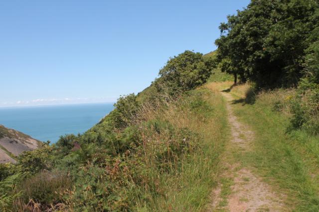
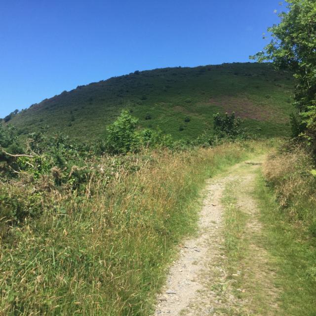
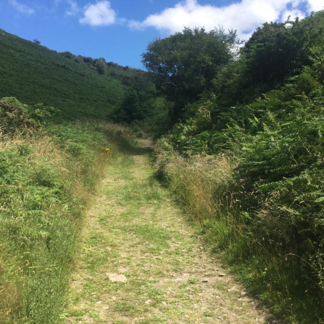
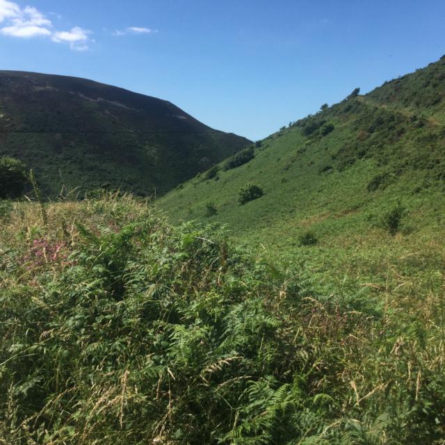
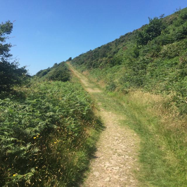
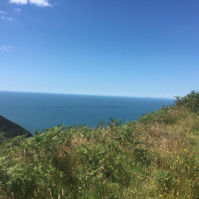
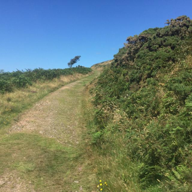
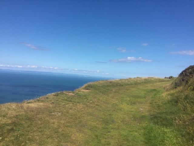
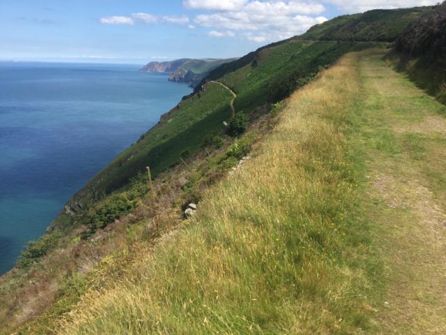
This trail begins by the National Trust Rangers office in Heddon Valley. The path was built by the Victorians and is a well graded wide track that winds along the cliff tops giving superb views of the North Devon Coastline and Bristol Channel. Trampers can be hired from the National Trust offices
| OVERALL RATING: BLACK | ||
| Path Surfaces: | 4 - RED | |
| Maximum Climbing Gradient: | 5 - BLACK | 19% |
| Maximum Descending Gradient: | 5 - BLACK | -30% |
| Total Elevation Gain: | 282 metres | |
| Distance: | ||


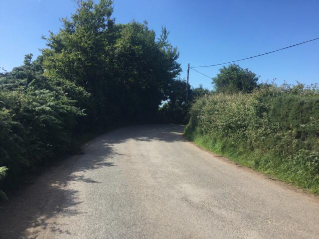
 at the junction")


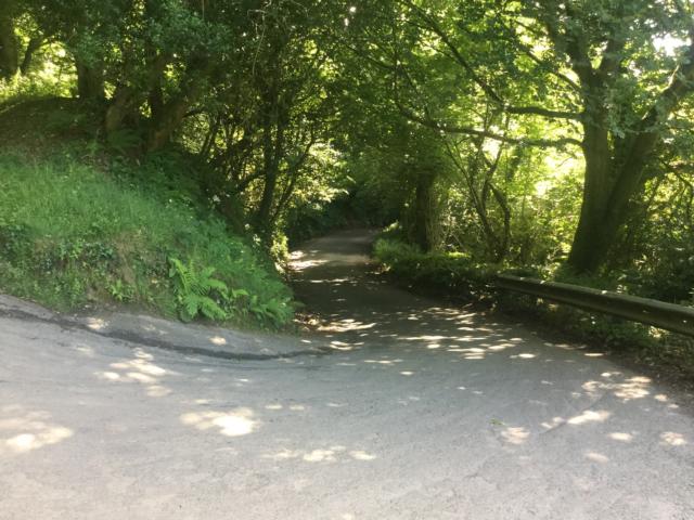
 for a few metres but soon evens out")