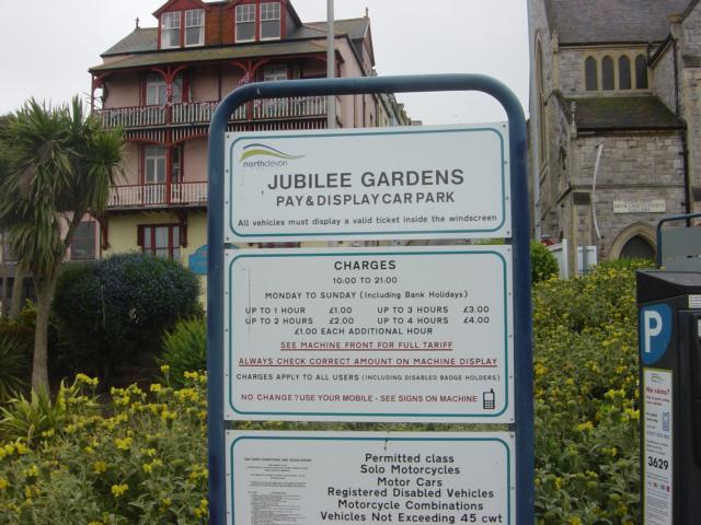
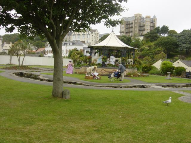
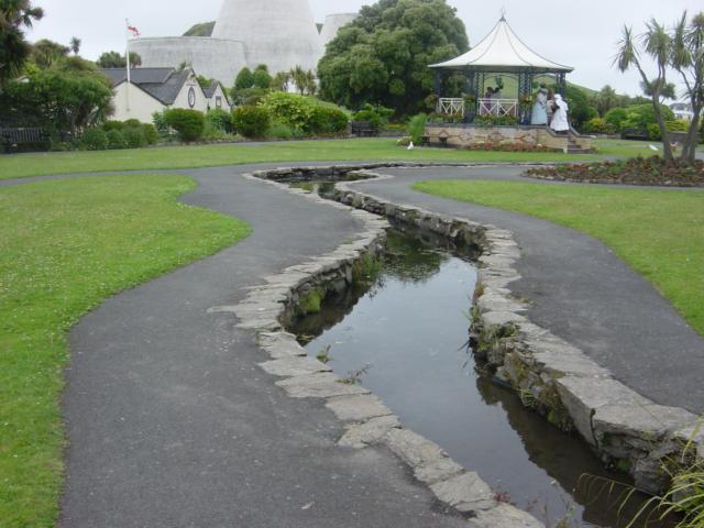
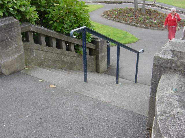
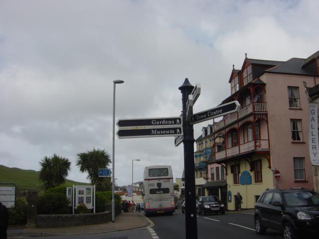
Runnymede gardens is a small enclosed garden close to the Landmark Theatre and sea front in Ilfracombe. There is a car park adjacent with spaces for 51 cars. There are 7 accessible parking spaces close by although not in the car park itself. All users have to pay for parking. The local buses from Barnstaple stop in Wilder Road just opposite the gardens. There is a gradient along the footpath of approximately 6.5% (1:15) down to the gardens entrance. The gardens have one stepped entrance in Wilder Road and one level entrance opposite the Theatre. The gardens are mainly level with a small stream running through the middle. There is a meandering footpath round the gardens with narrow footpaths criss-crossing the gardens with small stone bridges over the stream. The footpaths are all good surfaces in tarmacadam although in places only 900mm wide. In the centre of the gardens is a bandstand which has 6 steps up to the seating area. There are low walls either side of the steps but no handrails. As seen in the photographs the gardens are used annually during a Victorian week event. The stream running through the gardens has stone edging all along it which give some indication to visually impaired people but there are no upstands or any other tactile warning of the stream. The flow at the time of the survey was low so there was no sound to help identify its location. The gardens currently have line of timber hoarding along the western boundary where there used to be a building that has now been demolished. Two of the footpaths terminate at the hoarding.
| OVERALL RATING: GREEN | ||
| Path Surfaces: | ||
| Maximum Climbing Gradient: | 1 - GREEN | 0% |
| Maximum Descending Gradient: | 1 - GREEN | 0% |
| Total Elevation Gain: | 9 metres | |
| Distance: | ||

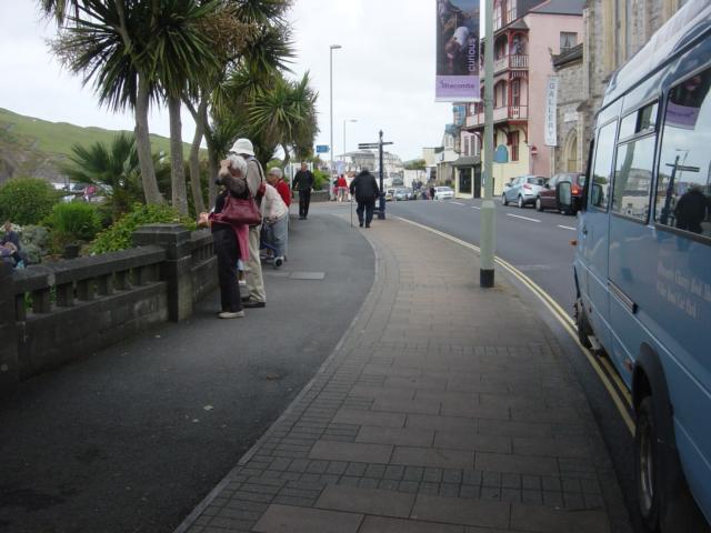
 from Wilder Road alongside accessible parking bays to level access entrance to gardens")