Route Filmstrip & Description
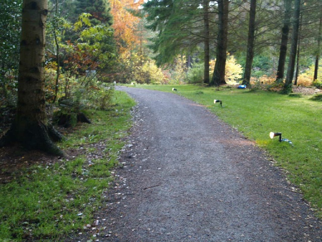
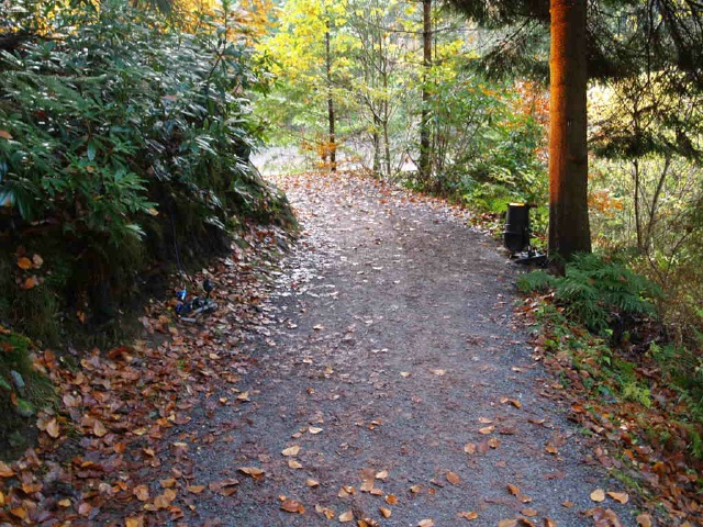
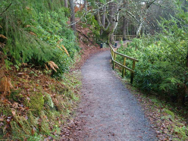
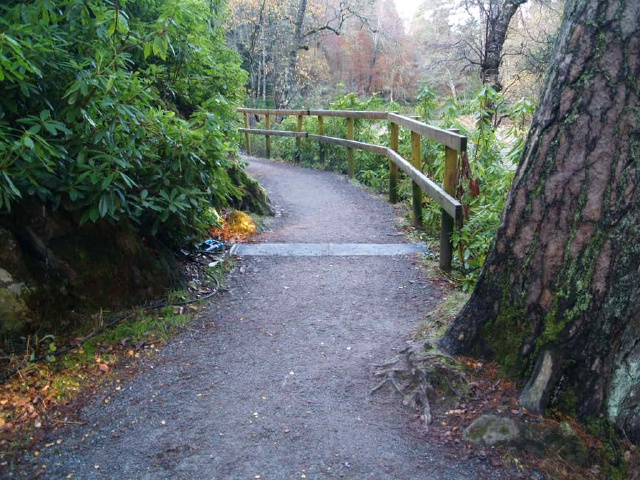
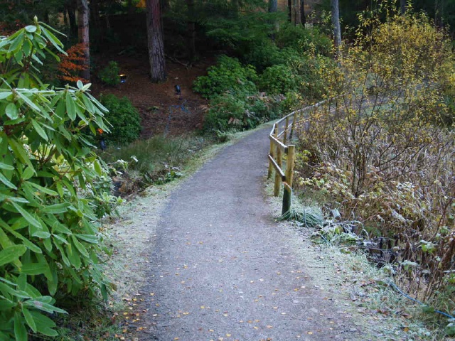
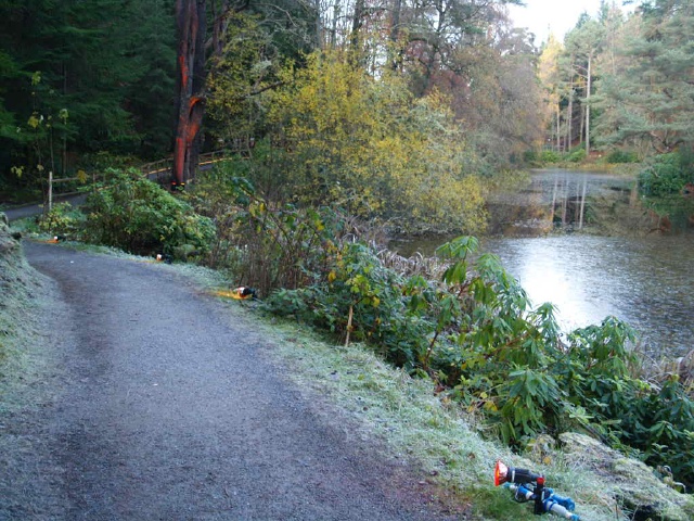
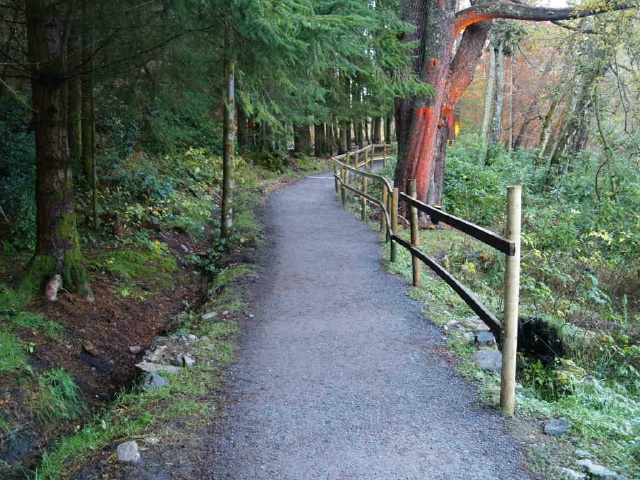
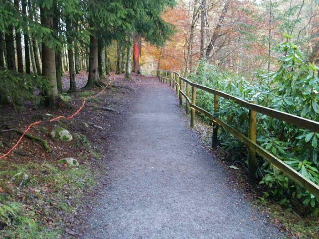
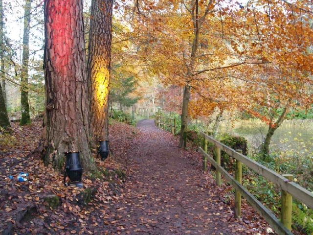
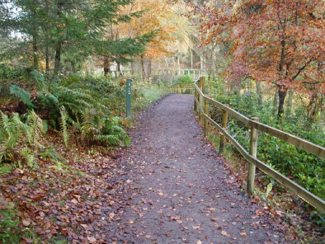
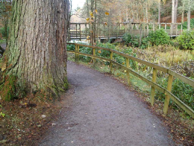
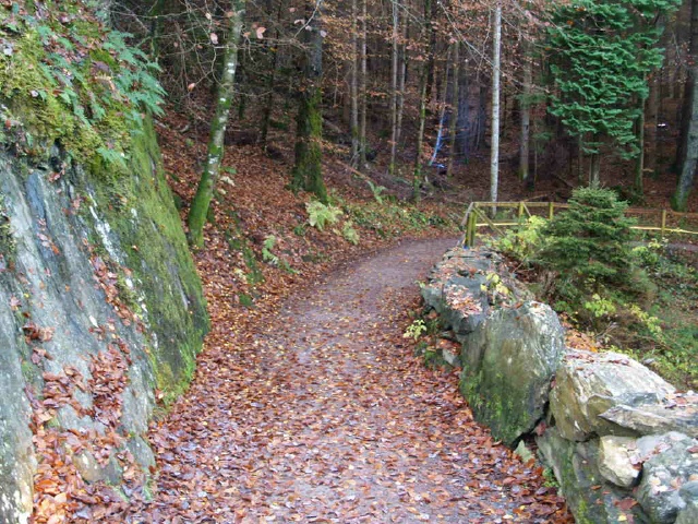
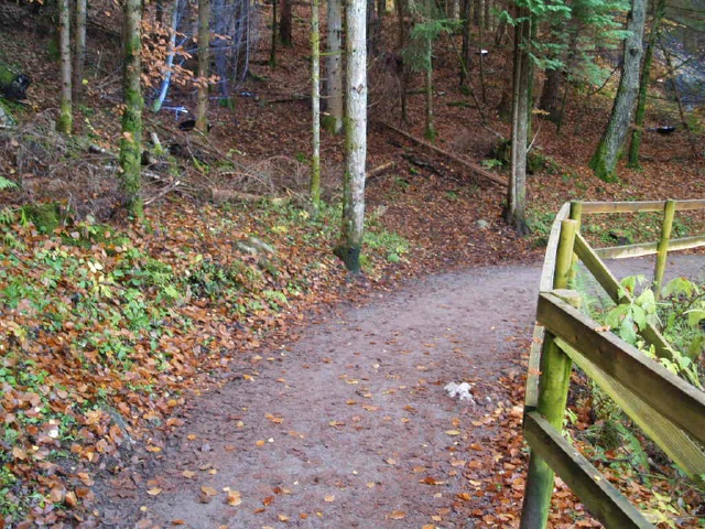
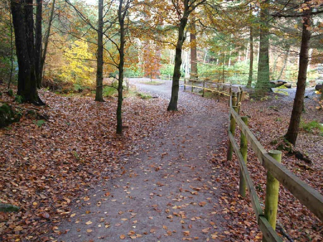
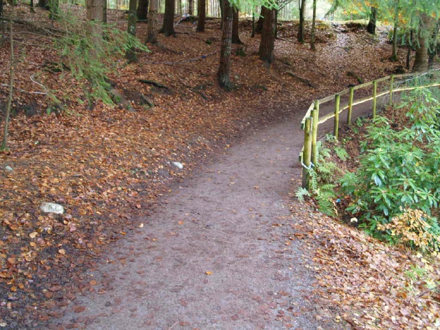
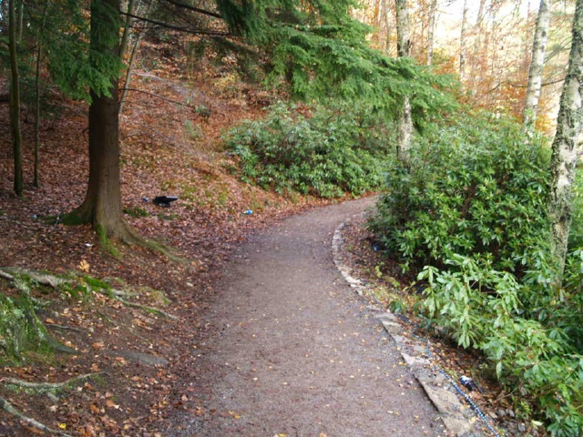
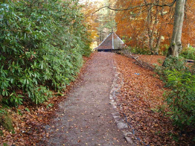
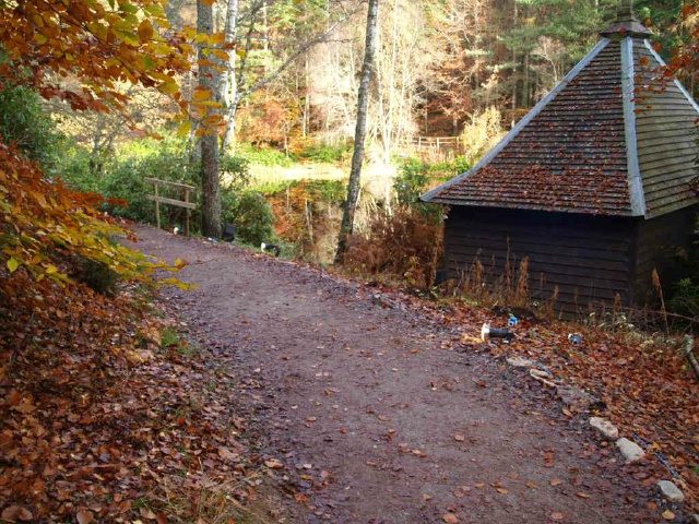
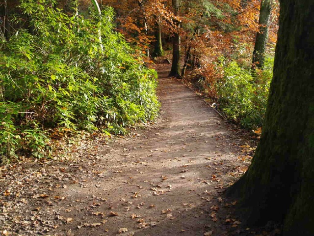
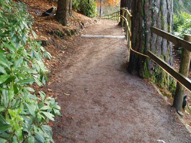
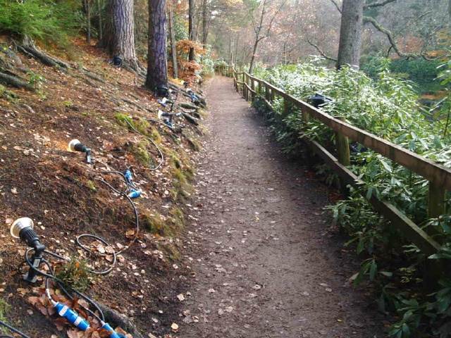
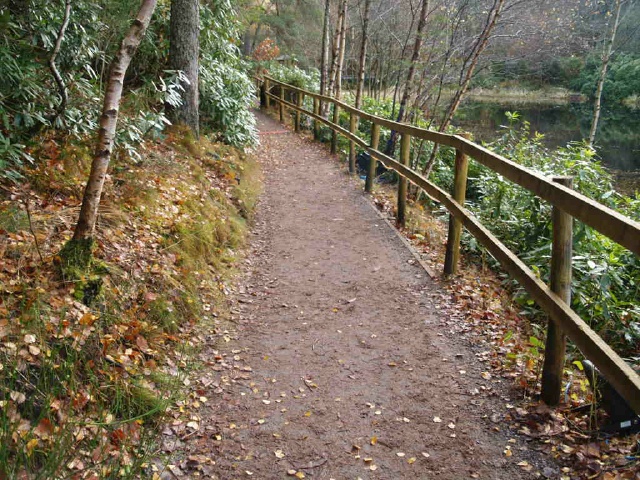
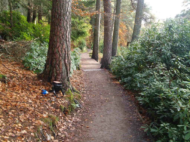
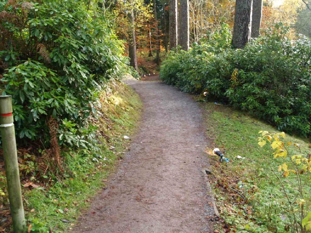
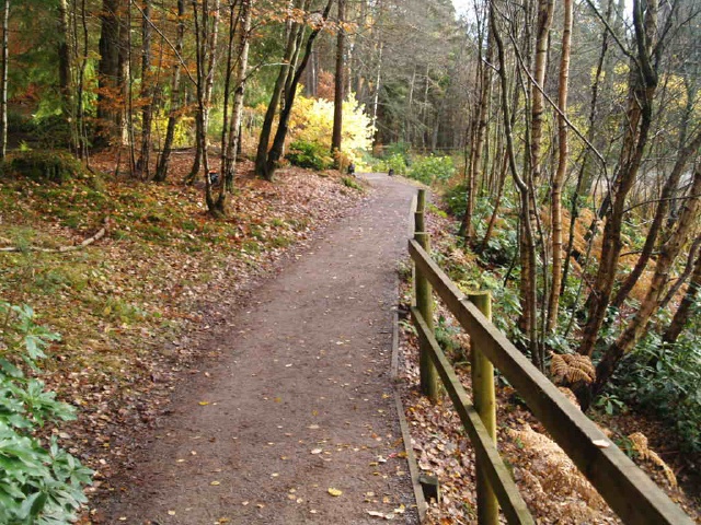
This is a pleasant circular walk around a woodland loch just off the A9 near Pitlochry. This was the venue for the Enchanted Forest events in the autumn of 2010 (contact Forestry Commission Scotland for details). The trail has a firm even surface and is wide enough for two people to walk side by side over most of its length.There are numerous gradients steeper that 8% (1:12) but none run for more than a few metres. The steepest is 16% (1:6) for only 3m. There are five places to sit along the route.The start of the trail can be reached by leaving the A9 near the Loch Faskally bridge and taking the B8091north for about half a mile. The Faskally Forest car park is at Ordnance Survey Grid Reference NN921590.
Surveyed by: . Fieldfare, November 2010
(Autumn)
Accessibility Rating: 3
Distance: 1.2 km
Car Park: No
Steps: No
Barriers: No
Toilets: No

The trail starts in the Faskally Forest car park (OS Grid Reference at NN921590) by the parking bay at the bottom of the short slope after the toilet block. This may not be marked as Blue Badge Parking . The sign in the picture was for parking during the Enchanted Forest displays.
The entrance to the trail is beside the parking bays and the information boards. As these photos were taken in early November 2010 the lights for the Enchanted Forest event can be seen all along the trail
The path has a firm level surface throughout and is wide enough for two people to walk side by side.
There is a short 3m slope with a gradient of 12% (1:8) as the path from the parking bays joins the circular path around the loch. Keep left onto this path.The trail leads round the loch so you will come out from the path on the right.
At the bridge keep left to follow the lochside circular path. You can cross the bridge to take a short cut back to the car park (see extra photos).
At this wide junction keep left to follow the path around the loch.The path to the right is to a viewing area that overlooks the part of the loch that features in the Enchanted Forest event. (see Extra Photos)
The tent is only there during the Enchanted Forest event. The slope down to it has a gradient of about 10% for 10m.
Turn right along the lochside path.The white signs are there only during the Enchanted Forest event.
Keep right on the lower lochside path.There is a slope with a gradient of 11% (1:9) where the two paths meet.
There is a small hump and the path has a gradient up of 11%(1:9) up and 15 (1:7) down over about 8m.
At the junction after the seat turn left and follow the path you came alng back to the parking bays.
Loch Dunmore Phototrail
Map Markers
The route is shown as a red line. You can show or hide the types of points indicated on the map using the checkboxes below.
Show All Trail Points | Show No Trail Points | Show Summary
Accessibility Info | Amenities Info | Facilities Info | Features Info | Way Finding Info | ||||||||||||||||||||||||||||||||||||||||||||||||||||||||||||||||||||||||||||||||||||||||||||||||||||||||||
---|---|---|---|---|---|---|---|---|---|---|---|---|---|---|---|---|---|---|---|---|---|---|---|---|---|---|---|---|---|---|---|---|---|---|---|---|---|---|---|---|---|---|---|---|---|---|---|---|---|---|---|---|---|---|---|---|---|---|---|---|---|---|---|---|---|---|---|---|---|---|---|---|---|---|---|---|---|---|---|---|---|---|---|---|---|---|---|---|---|---|---|---|---|---|---|---|---|---|---|---|---|---|---|---|---|---|---|---|---|---|
|
|
|
|
|
A map of the route is shown above -
- click on any marker point to view a photograph and the description of that point
- to zoom in or out use the navigation tool on the top-left of the map
- click and drag to change the centre of the map
- you can change to map/terrain/satellite/hybrid (satellite + map) views using the control on the top-right of the map
Route directions are shown below the map.
- Click on any marker icon in this list to highlight that point on the map and show a photo of that spot.
Got something to say about this Phototrail? Let us know!
Vertical Profile
This is an approximate vertical profile with samples taken at 100m intervals along the trail.
