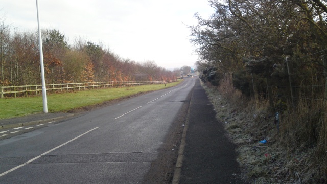
The trail follows roads and tracks around the east of Lochgelly. There are several steep gradients (up to 17% (1:6) and a couple of kerbs as higher as 60mm.There is one width restriction (80cm) but otherwise two people can walk side by side for most of the way.There are no seats along the route. Way finding through the streets of Lochgely towards the end of the trail might be difficult for some people
| OVERALL RATING: BLUE | ||
| Path Surfaces: | ||
| Maximum Climbing Gradient: | 2 - BLUE | 7% |
| Maximum Descending Gradient: | 2 - BLUE | -8% |
| Total Elevation Gain: | 134 metres | |
| Distance: | ||


 for about 120m. A seat provides a break up this slope.")

")


 to 8% (1:12) for about 150m.")


.")
coming out of the dip.")

 for about 70m down to the B981 (Lisa Brae,) .")
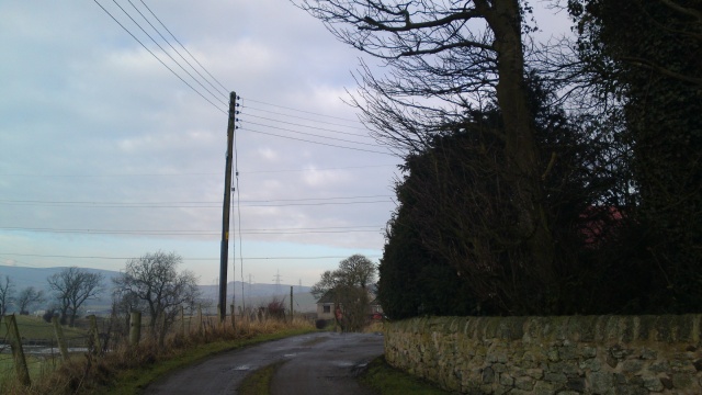
, there is no dropped kerb to the footway. This is a very fast, busy road. Take Care!")


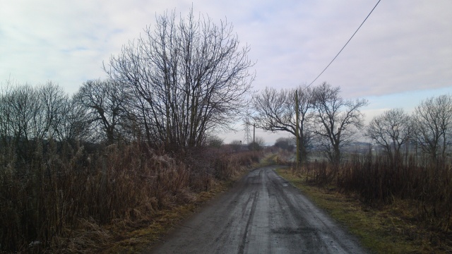

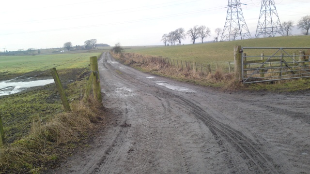
 for about 250m with a potholed and uneven surface.")


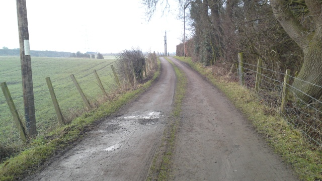

 for about 100m.The track surface is very uneven in places.")


. Follow the track round to the right.")


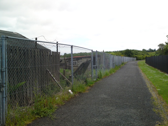
 for 70m up to the industrial estate.")
 gradient from the farm.")
.")
. The pavement is tarmacked but very uneven to the bridge.")
 for about 50m.")

 for about 6m.")


 for around 200m")


 turn left.")

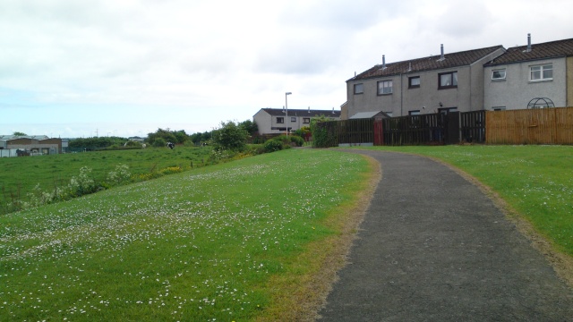
Take the path to the right of the Bus stop shelter that will take you to Public park and the car park.")


.JPG "Finish the walk back at the Car Park at the corner of Hall Street and Melville Street.")


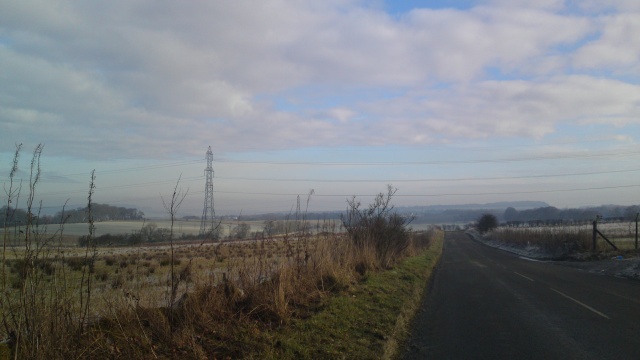
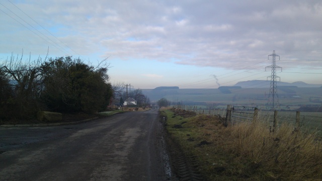
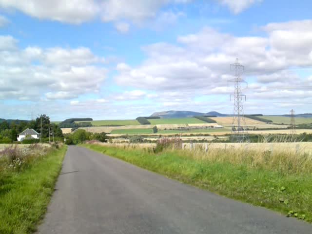
(1).JPG "The Lomond Hills")
.JPG "The Lomond Hills")
(1).JPG "Looking North East.")


