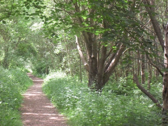
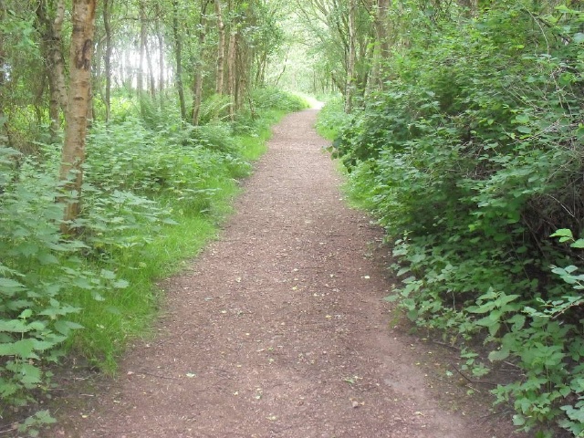
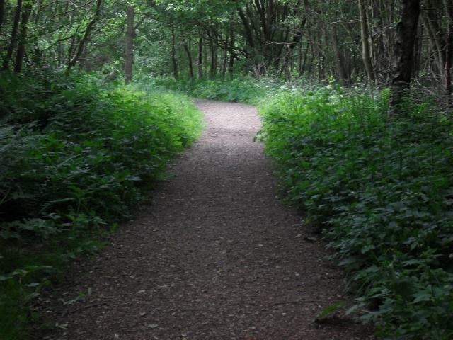
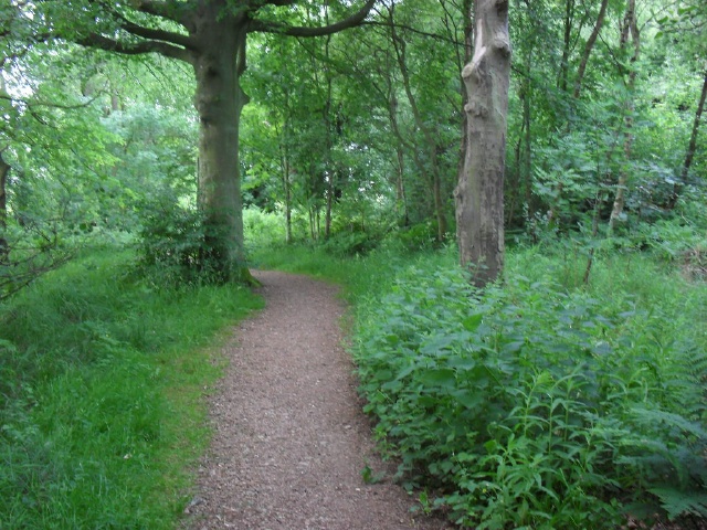
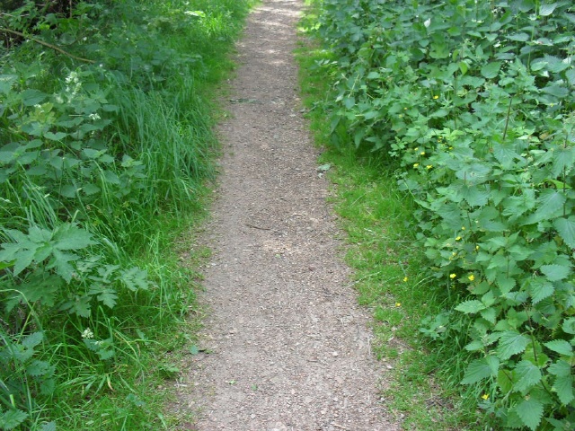
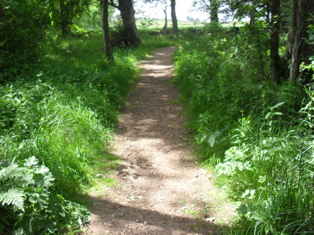
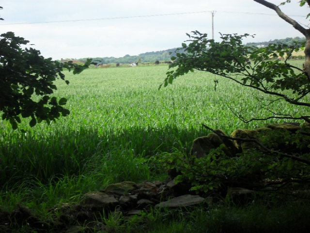
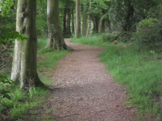
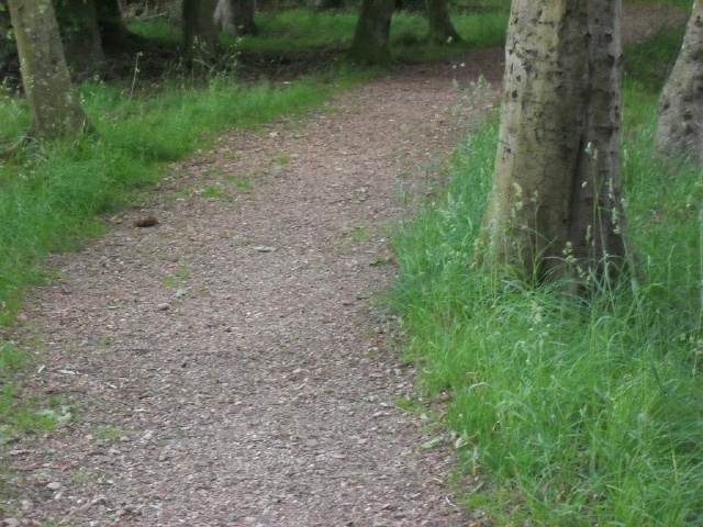
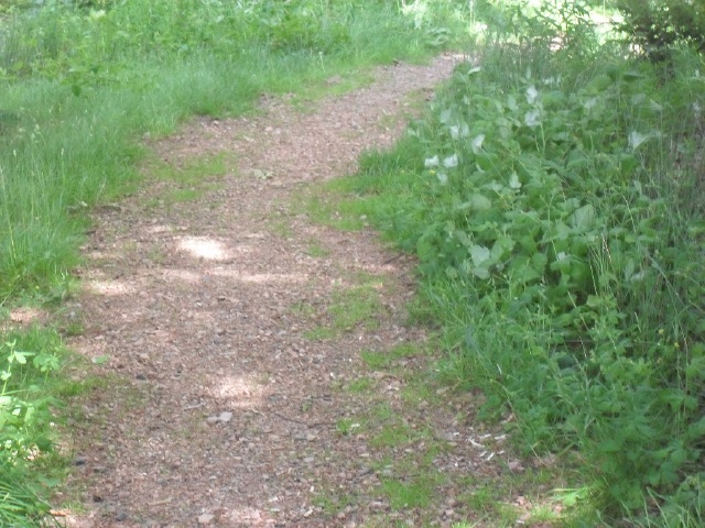
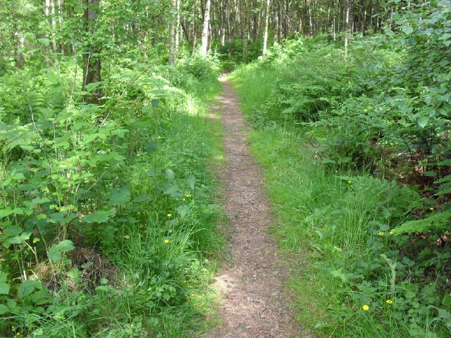
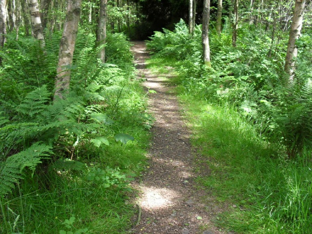
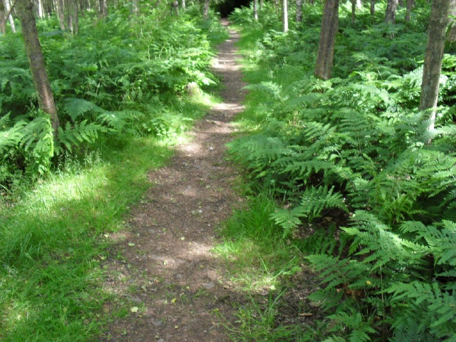
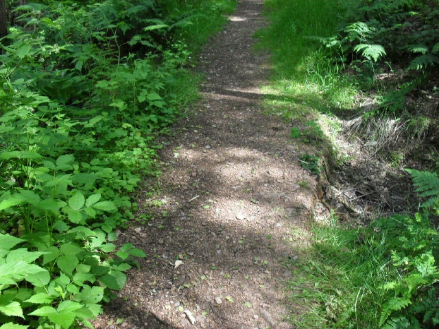
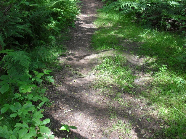
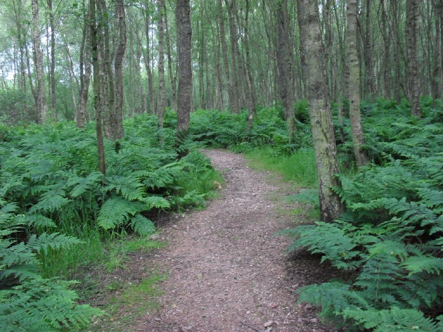
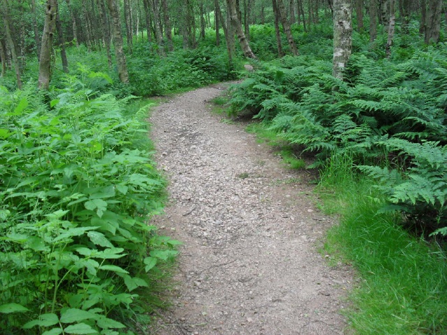
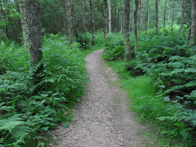
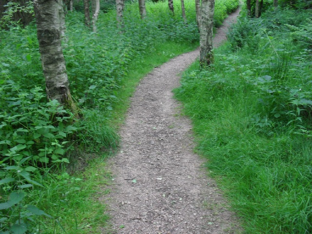
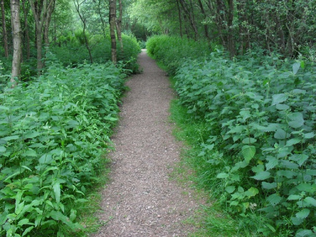
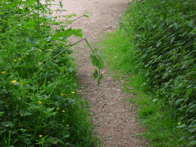
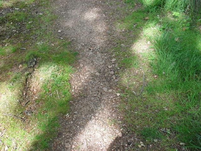
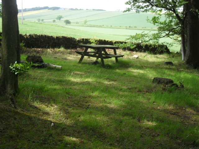
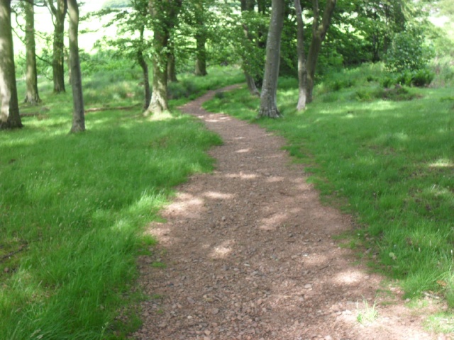
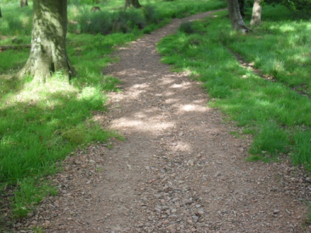
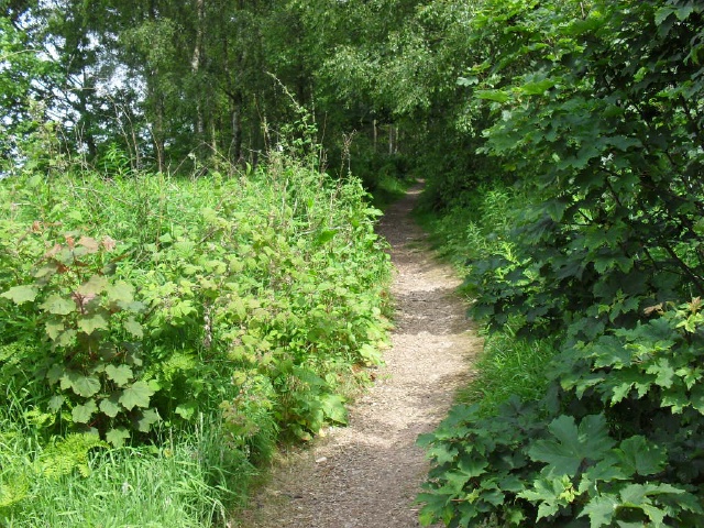
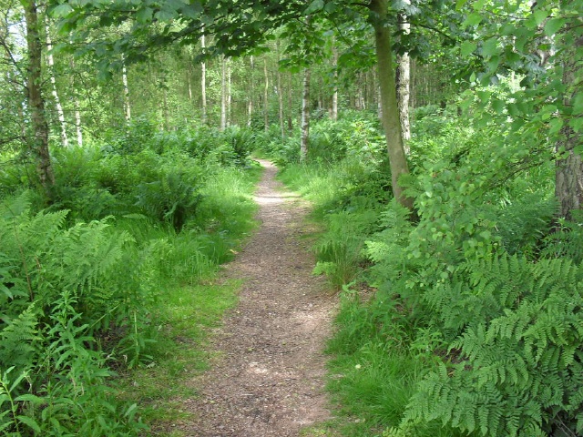
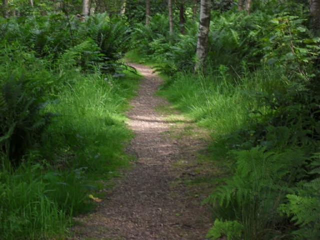
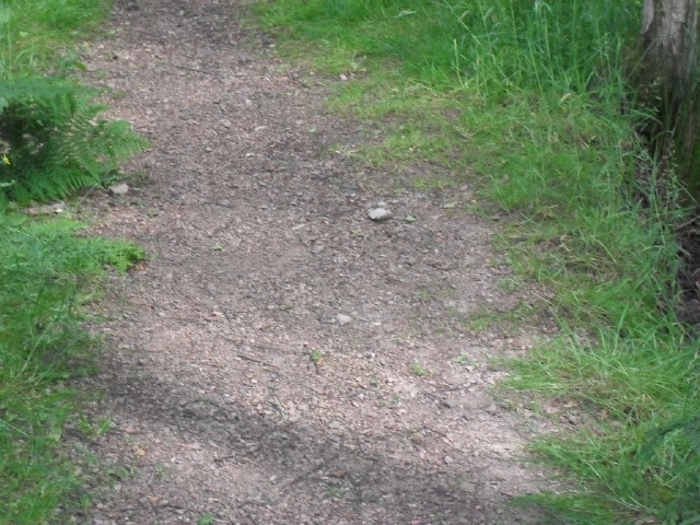
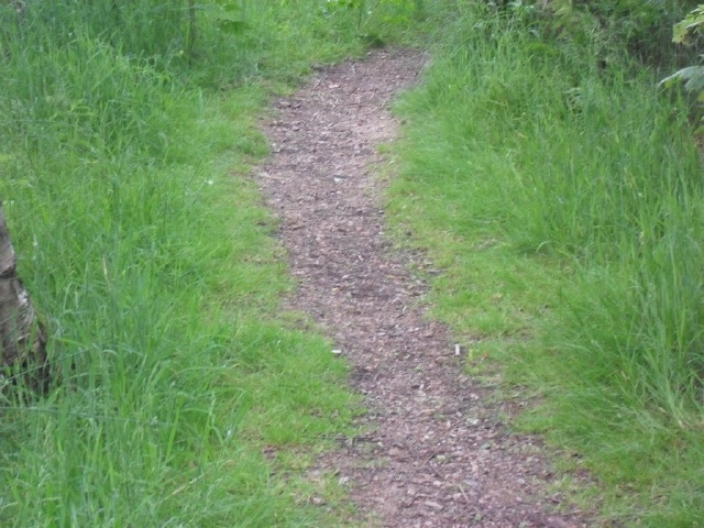
This is a pleasant woodland walk with occasional views over the countryside and out towards St Andrews. The surface of the path is compacted stone with loose stones and in some sections the stones are quite large and deep. The path leads to two historic sites but they may not be easily accessible to those in wheelchairs as the path narrows to around 500mm in places especially after the waymarker for the historical sites and there are a number of areas where the gradient is more than 8%. There are also sections of the path that have been eroded with rainfall and there are deep channels in the middle of the path with large loose stone surface.
| OVERALL RATING: BLUE | ||
| Path Surfaces: | ||
| Maximum Climbing Gradient: | 1 - GREEN | 3% |
| Maximum Descending Gradient: | 2 - BLUE | -8% |
| Total Elevation Gain: | 24 metres | |
| Distance: | ||


")


")


 over 4 metres. The surface continues to be large loose stones")
 over 25 metres")


 to 18.2% (1:5) over 30m")
")


.JPG)
.JPG)
.JPG)
.JPG "The path surface becomes uneven with medium to large loose stones")
.JPG)
.JPG "The path has a deep channel down the middle with lots of loose stones. This continues up a slight gradient for approximately 25 metres")
.JPG)
.JPG)
.JPG "The channelling and loose stones surface continues.")


