Route Filmstrip & Description
Validated by Fieldfare
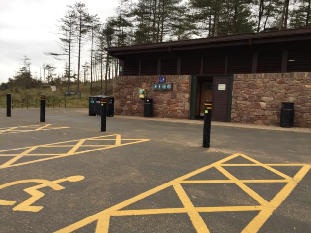
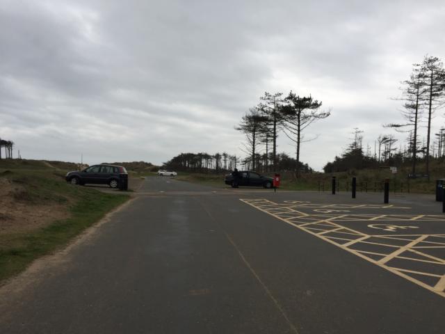
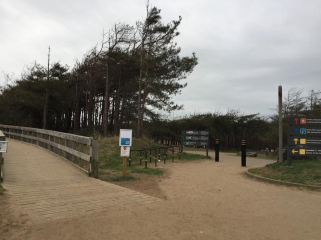
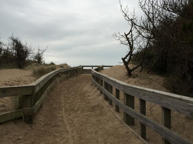
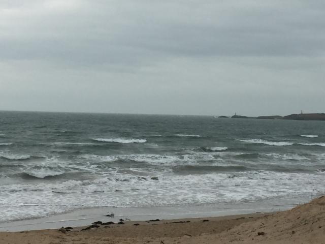
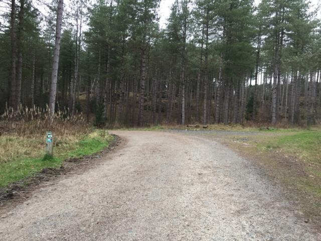
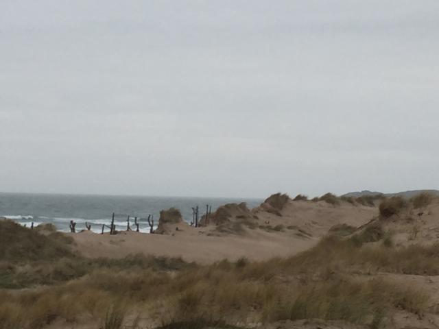
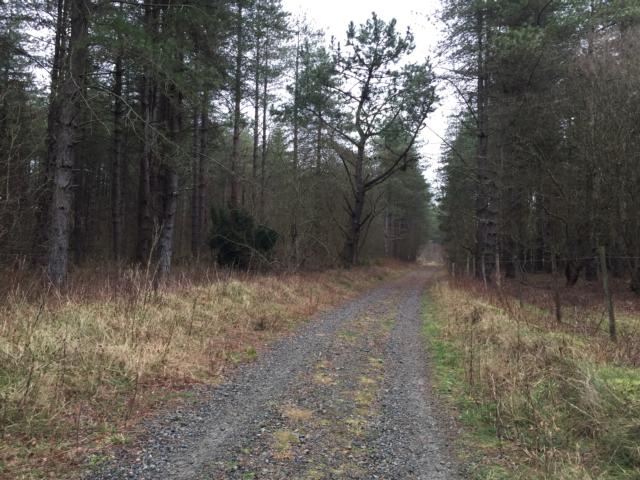
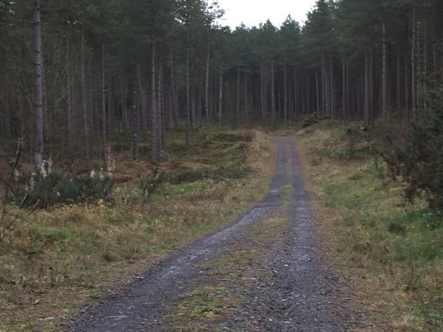
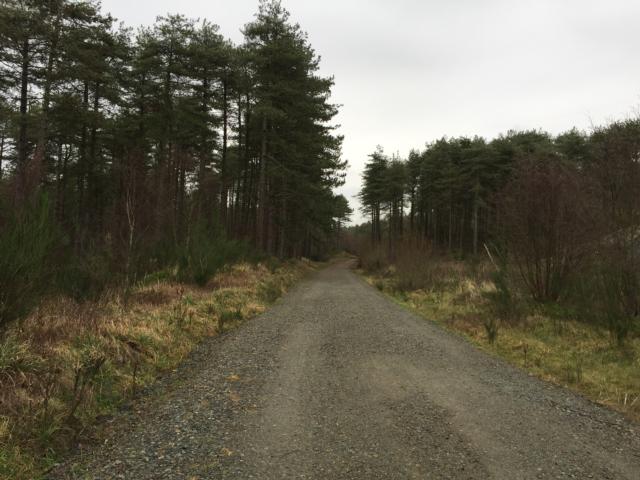
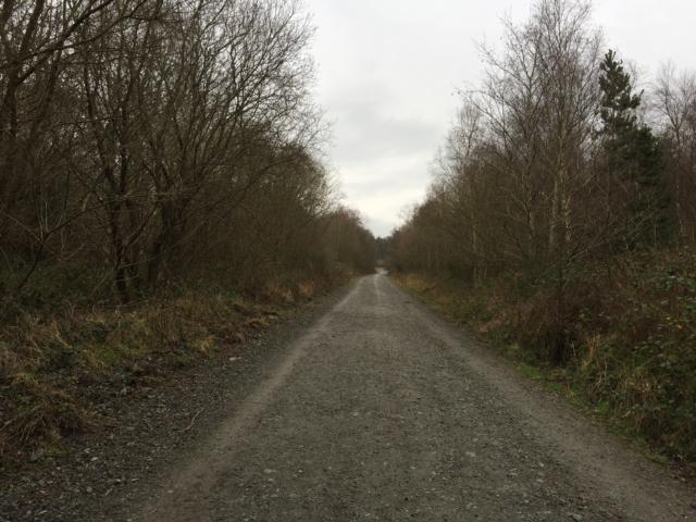
A Phototrail of the 7 mile Corsica Trail at Newborough Forest on Angelsey, which is managed by Natural Resources Wales. The route is mainly well surfaced by sand from the trails can blow onto the trail. There are a couple of steep inclines that people may require assistance with.
Surveyed by: Craig Grimes, January 2019
(Winter)
Accessibility Rating: 2
Distance: 9.7 km
Car Park: Large car park with disabled spaces - can get very busy during the high season.
Steps: No
Barriers: Some gates with clear passing spaces to one side.
Toilets: Disabled toilets in main block

Newborough Forest Corsica Trail Phototrail
Map Markers
The route is shown as a red line. You can show or hide the types of points indicated on the map using the checkboxes below.
Show All Trail Points | Show No Trail Points | Show Summary
Accessibility Info | Amenities Info | Facilities Info | Features Info | Way Finding Info | ||||||||||||||||||||||||||||||||||||||||||||||||||||||||||||||||||||||||||||||||||||||||||||||||||||||||||
---|---|---|---|---|---|---|---|---|---|---|---|---|---|---|---|---|---|---|---|---|---|---|---|---|---|---|---|---|---|---|---|---|---|---|---|---|---|---|---|---|---|---|---|---|---|---|---|---|---|---|---|---|---|---|---|---|---|---|---|---|---|---|---|---|---|---|---|---|---|---|---|---|---|---|---|---|---|---|---|---|---|---|---|---|---|---|---|---|---|---|---|---|---|---|---|---|---|---|---|---|---|---|---|---|---|---|---|---|---|---|
|
|
|
|
|
A map of the route is shown above -
- click on any marker point to view a photograph and the description of that point
- to zoom in or out use the navigation tool on the top-left of the map
- click and drag to change the centre of the map
- you can change to map/terrain/satellite/hybrid (satellite + map) views using the control on the top-right of the map
Route directions are shown below the map.
- Click on any marker icon in this list to highlight that point on the map and show a photo of that spot.
Got something to say about this Phototrail? Let us know!
Vertical Profile
This is an approximate vertical profile with samples taken at 100m intervals along the trail.
