Route Filmstrip & Description
Validated by Fieldfare
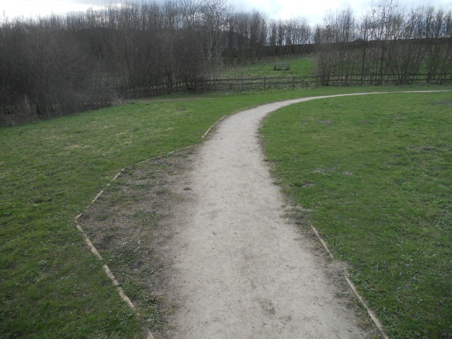
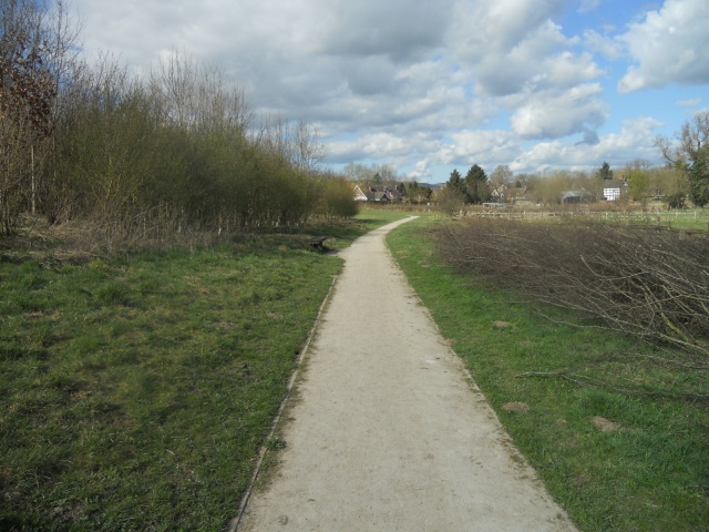
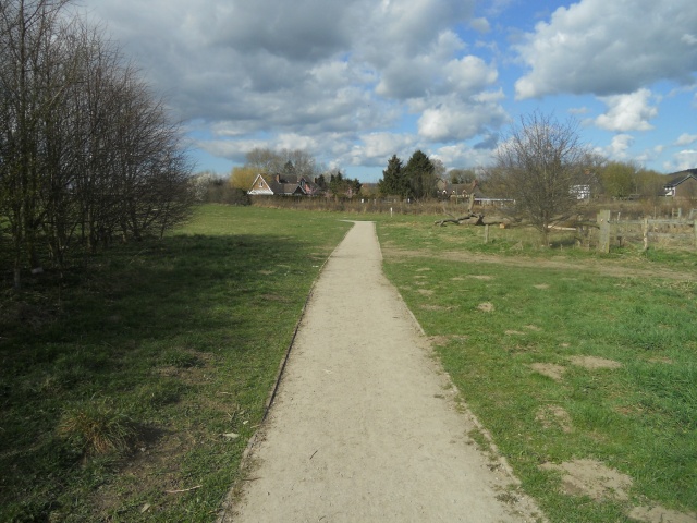
Onny Meadows is part of the Shropshire Hills Discovery Centre. The meadow takes its name from the River Onny which runs along its boundary. Facilities within the accessible visitor centre include toilets, a cafe, information panels, leaflets, displays and exhibitions. There is a hard surface path provided around site and longer circular routes that start from the Centre. The Discovery Centre is a great place to base yourself for a day exploring the Shropshire Hills and its many attractions.
Surveyed by: , March 2011
(Spring)
Accessibility Rating: 2
Distance: 0.7 km
Car Park: Accessible parking is available on site.
Steps: No
Barriers: Several wicket gates were encountered on the trail. Some of these open in both directions and are fitted with easy-to-use latches.
Toilets: Accessible toilets are situated in the Shropshire Hills Discovery Centre.

The Shropshire Hills Discovery Centre is situated beside the A49 on the southern outskirts of Craven Arms - 20 miles south of Shrewsbury, 7 miles north of Ludlow. Grid ref: SO 434824
There are three designated parking bays for disabled visitors, situated next to the entrance to the visitors centre. Each parking space has plenty of room from which to transfer.
The Shropshire Hills Discovery Centre has a library, cafe, accessible toilets and an exhibition area featuring an incredible audio/visual, hot-air balloon view of the Shropshire Hills, projected onto a 180-degree curved screen. Entry cost £4.50. For people who are accompanying a disabled person as their carer entrance to the exhibition is free.
For a short detour, the path on the left leads to the Craven Arms Community Garden. Continue straight-on for the main circular walk around Onny Meadows.
View of the Craven Arms Community Garden. Access to the site is good, with a through-route back on to the main trail.
Visitors with children or visitors with visual impairment may enjoy the tactile qualities of the remains of an old Oak tree.
The width of the path narrows slightly, from 1.6m to 1.2m. The width of the path will normally allow sufficient room for an ambulant person to walk alongside a wheelchair user.
An unsurfaced trail on the left leads to the River Onny. Go through the wicket gate to stay on the surfaced, circular walk.
Ramped access allows people with the limited mobility the opportunity to by-pass the steps and access the dipping platform.
Onny Meadows Country Park Phototrail
Map Markers
The route is shown as a red line. You can show or hide the types of points indicated on the map using the checkboxes below.
Show All Trail Points | Show No Trail Points | Show Summary
Accessibility Info | Amenities Info | Facilities Info | Features Info | Way Finding Info | ||||||||||||||||||||||||||||||||||||||||||||||||||||||||||||||||||||||||||||||||||||||||||||||||||||||||||
---|---|---|---|---|---|---|---|---|---|---|---|---|---|---|---|---|---|---|---|---|---|---|---|---|---|---|---|---|---|---|---|---|---|---|---|---|---|---|---|---|---|---|---|---|---|---|---|---|---|---|---|---|---|---|---|---|---|---|---|---|---|---|---|---|---|---|---|---|---|---|---|---|---|---|---|---|---|---|---|---|---|---|---|---|---|---|---|---|---|---|---|---|---|---|---|---|---|---|---|---|---|---|---|---|---|---|---|---|---|---|
|
|
|
|
|
A map of the route is shown above -
- click on any marker point to view a photograph and the description of that point
- to zoom in or out use the navigation tool on the top-left of the map
- click and drag to change the centre of the map
- you can change to map/terrain/satellite/hybrid (satellite + map) views using the control on the top-right of the map
Route directions are shown below the map.
- Click on any marker icon in this list to highlight that point on the map and show a photo of that spot.
Got something to say about this Phototrail? Let us know!
Vertical Profile
This is an approximate vertical profile with samples taken at 100m intervals along the trail.
