Route Filmstrip & Description
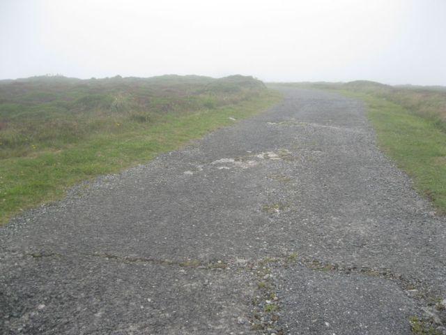
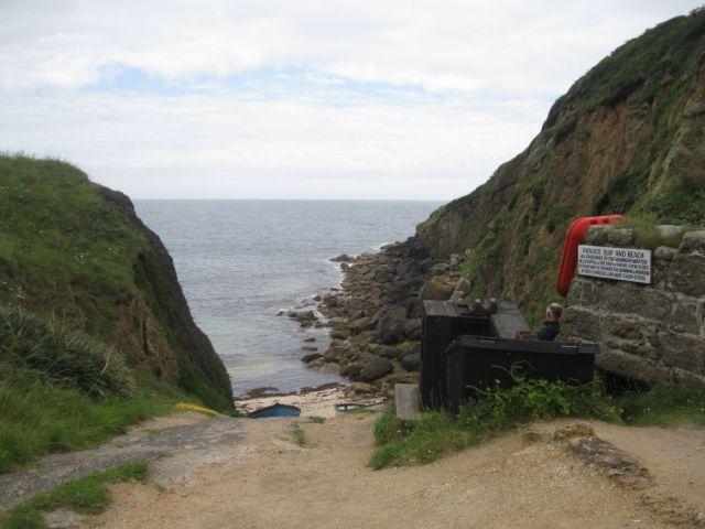
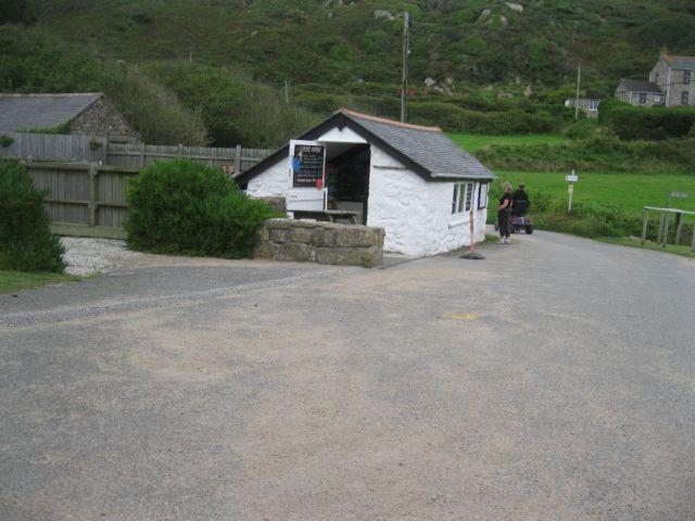
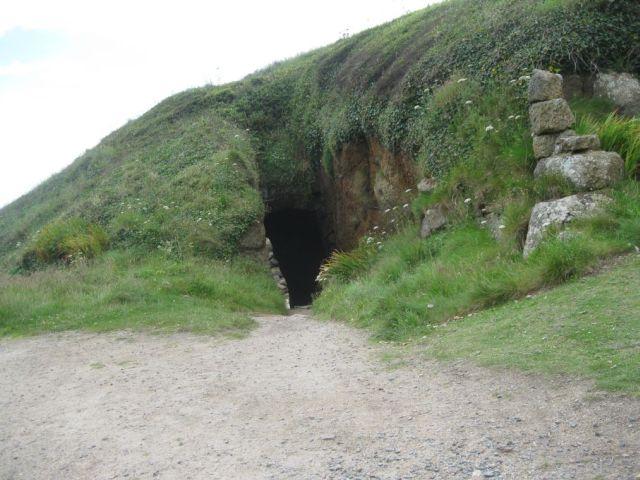
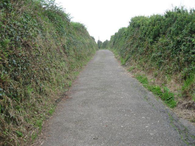
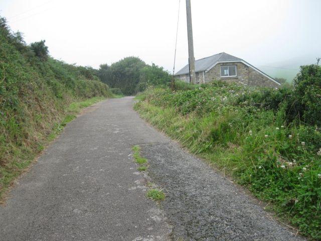
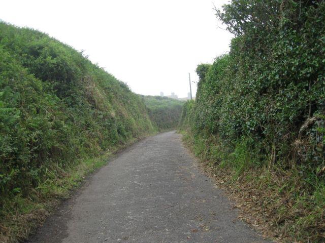
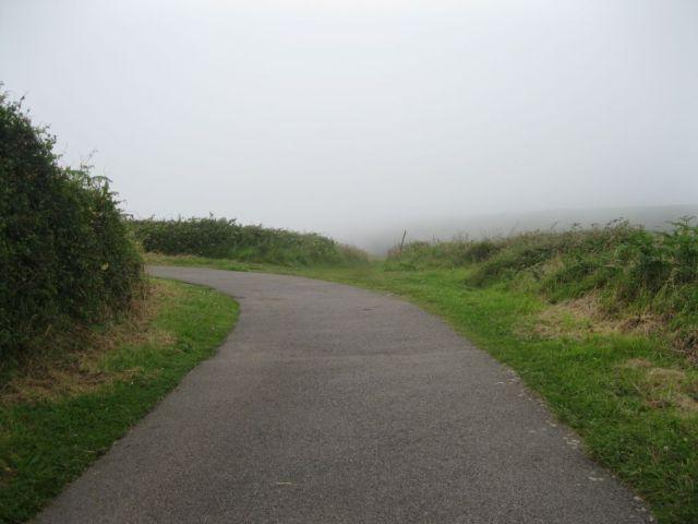
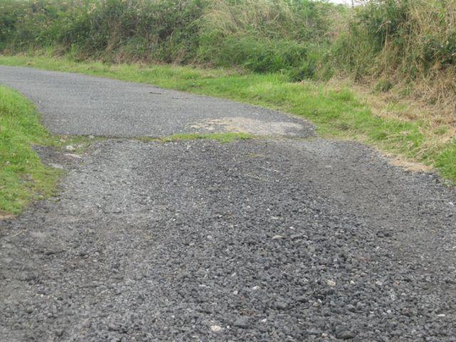
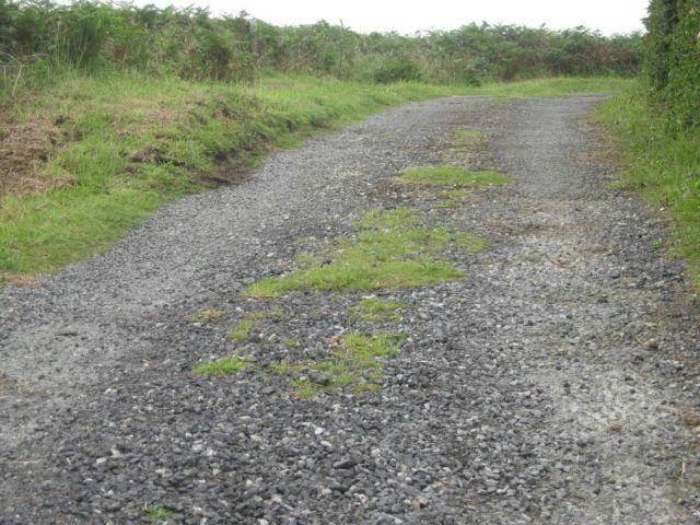
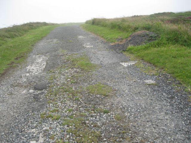
A short, one mile, walk from the remote and picturesque cove of Porthgwarra up to the lookout post at Gwennap Head. The main walk is along a metalled surface which is generally of good quality. There are two speed bumps and a gate the gradient is fairly steep in places (average approx 1:16 (6%) max. 1:6 (16%) approx). For those with dedicated off-road scooters there are several paths that can be explored with care. There are toilets but there is no wheelchair access and there is a small shop where teas and ice creams may be bought in the summer. for more information visit-http://www.southwestcoastpath.com/photos/photograph/5400/
Surveyed by: Steve CRR, July 2012
(Summer)
Accessibility Rating: 3
Distance: 0.7 km
Car Park: Pay and display, small with a reasonable service accompanied by a larger this even overflow car park.
Steps: No
Barriers: Yes, large 5 bar gate, see photo.
Toilets: Small but not accessible.


Possible extension. Grade 5. app.200m
uneven path to the south,passible only with caution and on a purpose-built off-road scooter.
Portgwarra Phototrail
Map Markers
The route is shown as a red line. You can show or hide the types of points indicated on the map using the checkboxes below.
Show All Trail Points | Show No Trail Points | Show Summary
Accessibility Info | Amenities Info | Facilities Info | Features Info | Way Finding Info | ||||||||||||||||||||||||||||||||||||||||||||||||||||||||||||||||||||||||||||||||||||||||||||||||||||||||||
---|---|---|---|---|---|---|---|---|---|---|---|---|---|---|---|---|---|---|---|---|---|---|---|---|---|---|---|---|---|---|---|---|---|---|---|---|---|---|---|---|---|---|---|---|---|---|---|---|---|---|---|---|---|---|---|---|---|---|---|---|---|---|---|---|---|---|---|---|---|---|---|---|---|---|---|---|---|---|---|---|---|---|---|---|---|---|---|---|---|---|---|---|---|---|---|---|---|---|---|---|---|---|---|---|---|---|---|---|---|---|
|
|
|
|
|
A map of the route is shown above -
- click on any marker point to view a photograph and the description of that point
- to zoom in or out use the navigation tool on the top-left of the map
- click and drag to change the centre of the map
- you can change to map/terrain/satellite/hybrid (satellite + map) views using the control on the top-right of the map
Route directions are shown below the map.
- Click on any marker icon in this list to highlight that point on the map and show a photo of that spot.
Got something to say about this Phototrail? Let us know!
Vertical Profile
This is an approximate vertical profile with samples taken at 100m intervals along the trail.
