Route Filmstrip & Description
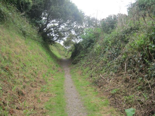
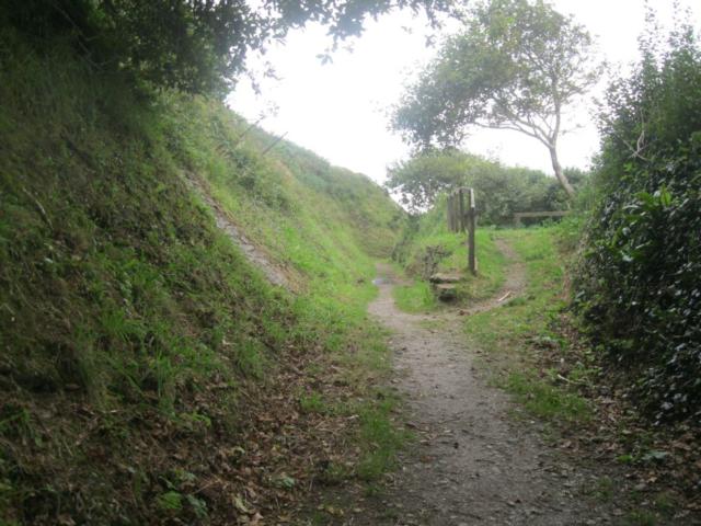
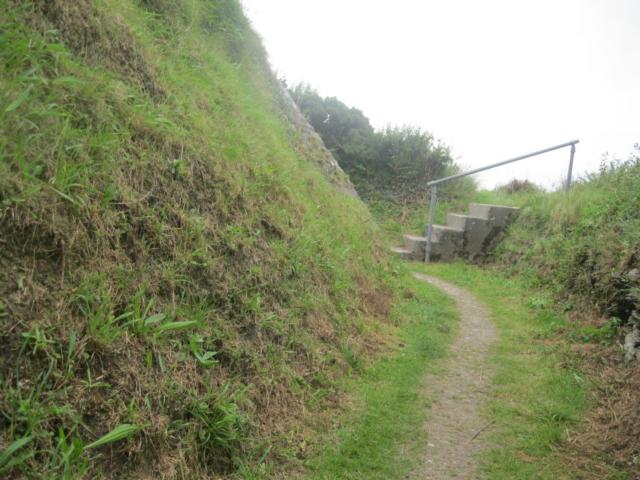
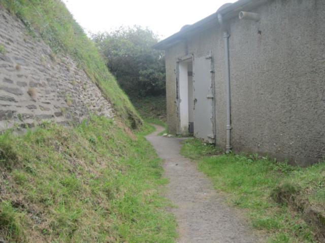
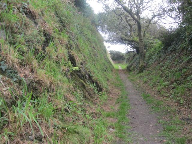
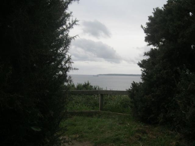
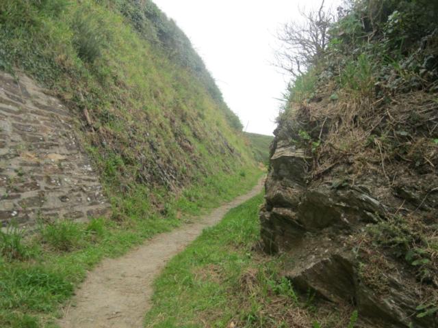
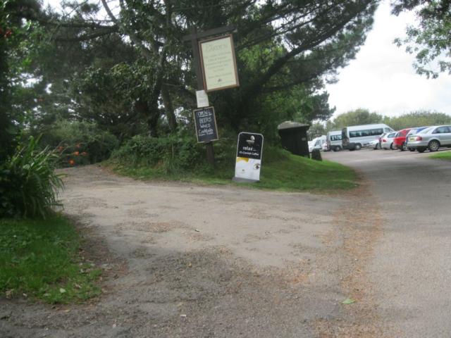
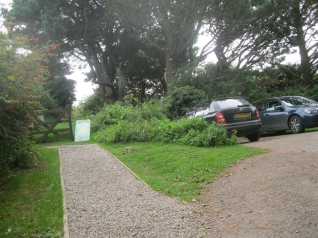
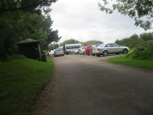
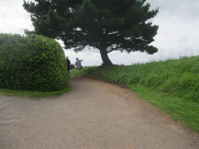
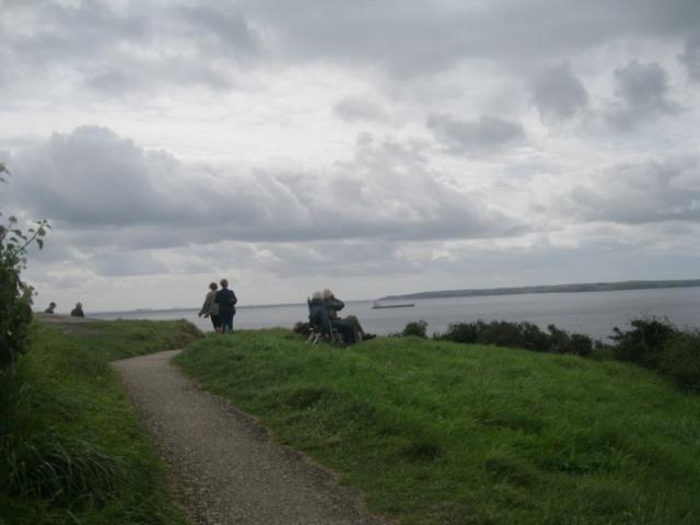
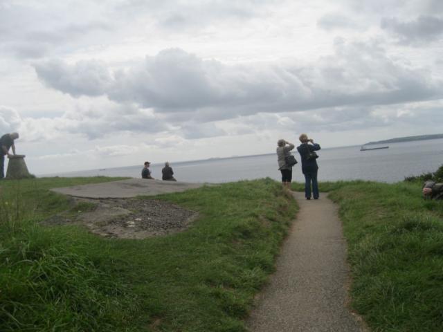
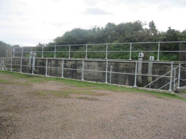
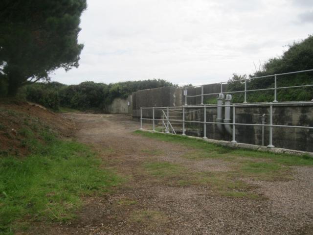
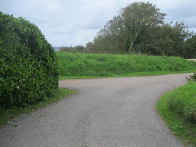
A short walk around national trust property at St. Anthony Head. Militarily St Anthony has been an important site as far back as 1700s. There have been several gun batteries here, the most recent World War II battery is still very much in evidence. There is only limited scope for wheelchairs and small mobility scooters, however there are other parts that can be explored on suitable vehicles. Clicking "Show Extra Points" below with the map will reveal photographs of additional paths which can be explored, with care, if you have a suitable scooter or power chair. www.cornwallrollingramblers.org.uk
Surveyed by: Steve CRR, September 2012
(Autumn)
Accessibility Rating: 3
Distance: 0.6 km
Car Park: No
Steps: No
Barriers: No
Toilets: Yes


Steps on this part of the track. Wheelchair users take the path to the right which meets up with this path further down.

This is the start of one of the additional paths. It is quite a rough and uneven in places.
not recommended.

Additional path. It is quite a rough and uneven in places.
Cross the lawn and rejoin the metaled path.

The right-hand path takes you down to send and to the lighthouse. Known to many of those as "Fraggle rock" (from the TV show.)
St Anthony head Phototrail
Map Markers
The route is shown as a red line. You can show or hide the types of points indicated on the map using the checkboxes below.
Show All Trail Points | Show No Trail Points | Show Summary
Accessibility Info | Amenities Info | Facilities Info | Features Info | Way Finding Info | ||||||||||||||||||||||||||||||||||||||||||||||||||||||||||||||||||||||||||||||||||||||||||||||||||||||||||
---|---|---|---|---|---|---|---|---|---|---|---|---|---|---|---|---|---|---|---|---|---|---|---|---|---|---|---|---|---|---|---|---|---|---|---|---|---|---|---|---|---|---|---|---|---|---|---|---|---|---|---|---|---|---|---|---|---|---|---|---|---|---|---|---|---|---|---|---|---|---|---|---|---|---|---|---|---|---|---|---|---|---|---|---|---|---|---|---|---|---|---|---|---|---|---|---|---|---|---|---|---|---|---|---|---|---|---|---|---|---|
|
|
|
|
|
A map of the route is shown above -
- click on any marker point to view a photograph and the description of that point
- to zoom in or out use the navigation tool on the top-left of the map
- click and drag to change the centre of the map
- you can change to map/terrain/satellite/hybrid (satellite + map) views using the control on the top-right of the map
Route directions are shown below the map.
- Click on any marker icon in this list to highlight that point on the map and show a photo of that spot.
Got something to say about this Phototrail? Let us know!
Vertical Profile
This is an approximate vertical profile with samples taken at 100m intervals along the trail.
