Route Filmstrip & Description
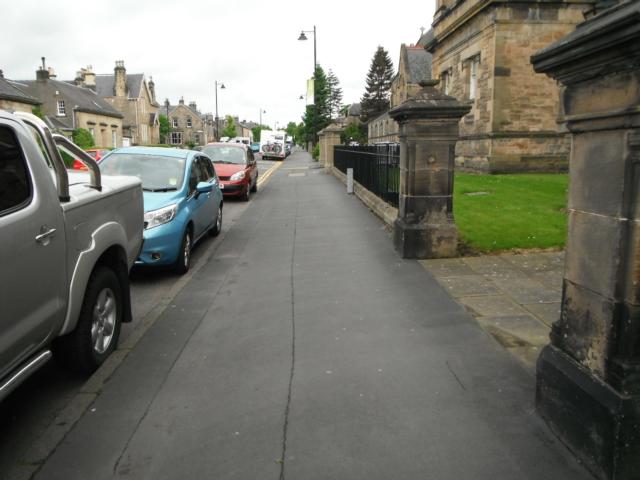
This route takes you from Stirling railway station to to the King's Knot at the base of the castle via the city centre, the Albert Halls and the Smith Art Gallery and Museum. The route is reasonably flat with only a few short, easy gradients. There are lots of facilities that can be found in the pedestrianised city centre such as cash points, food outlets, public telephones and seating. The section between the pedestrianised centre and the King's Knot does not have any seating but a visit to the Smith Art Gallery is worthwhile and is a good opportunity for a break. There is a cafe and toilets in the museum. All road crossings have dropped kerbs and usually tactile paving.
Surveyed by: Richard Barron, May 2014
(Spring)
Accessibility Rating: 1
Distance: 1.2 km
Car Park: There is a car park available at the train station, which is on the route. Other car park information can be found at www.stirling.gov.uk/services/planning-and-the-environment/parking-and-car-parks . There are also two Park and Rides at Castle View and also Springkerse. More information can be found at www.stirling.gov.uk/services/transport-and-streets/environment-friendly-transport/park-and-ride-schemes
Steps: No
Barriers: No
Toilets: Toilets are available in the railway station, including disabled toilets, and the Thistle Centre (shopping centre with an entrance by the bus station and pedestrianised city centre).


Stirling railway station ticket barriers. You can't get to the plaforms unless you go through them with a valid ticket.

Arrival and departure board plus disabled toilets. General toilets exist on the opposite platform over the bridge.

Start of the city centre. There is an information board, sign post, shelter under shop canopy, ATM and litter bins. The pavement remains wide.

City centre amenities incluing sign posts, cafes and one of entrances to the Thistle Shopping Centre where there are shops, cafes, toilets and seats.

The pedestrianised city centre. This area offers cafes, food outlets, public telephones, seating, information boards and ATMs.

The pedestrianised city centre. This area offers cafes, food outlets, public telephones, seating, information boards and ATMs.

The pedestrianised city centre. This area offers cafes, food outlets, public telephones, seating, information boards and ATMs.

Leave the pedestrianised centre and continue along the pavement. Sign posts are on the pavement but still wide enough for mobility scooters to pass.
Stirling railway station to the King's Knot via the city centre, the Albert Halls and the Smith Museum. Phototrail
Map Markers
The route is shown as a red line. You can show or hide the types of points indicated on the map using the checkboxes below.
Show All Trail Points | Show No Trail Points | Show Summary
Accessibility Info | Amenities Info | Facilities Info | Features Info | Way Finding Info | ||||||||||||||||||||||||||||||||||||||||||||||||||||||||||||||||||||||||||||||||||||||||||||||||||||||||||
---|---|---|---|---|---|---|---|---|---|---|---|---|---|---|---|---|---|---|---|---|---|---|---|---|---|---|---|---|---|---|---|---|---|---|---|---|---|---|---|---|---|---|---|---|---|---|---|---|---|---|---|---|---|---|---|---|---|---|---|---|---|---|---|---|---|---|---|---|---|---|---|---|---|---|---|---|---|---|---|---|---|---|---|---|---|---|---|---|---|---|---|---|---|---|---|---|---|---|---|---|---|---|---|---|---|---|---|---|---|---|
|
|
|
|
|
A map of the route is shown above -
- click on any marker point to view a photograph and the description of that point
- to zoom in or out use the navigation tool on the top-left of the map
- click and drag to change the centre of the map
- you can change to map/terrain/satellite/hybrid (satellite + map) views using the control on the top-right of the map
Route directions are shown below the map.
- Click on any marker icon in this list to highlight that point on the map and show a photo of that spot.
Got something to say about this Phototrail? Let us know!
Vertical Profile
This is an approximate vertical profile with samples taken at 100m intervals along the trail.
