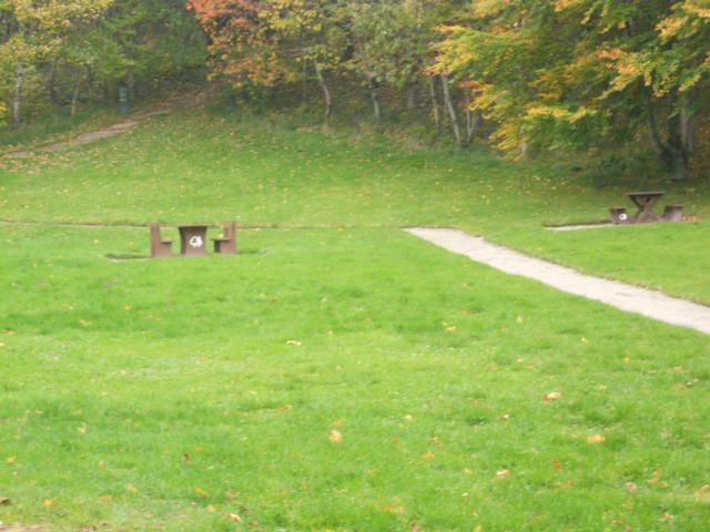
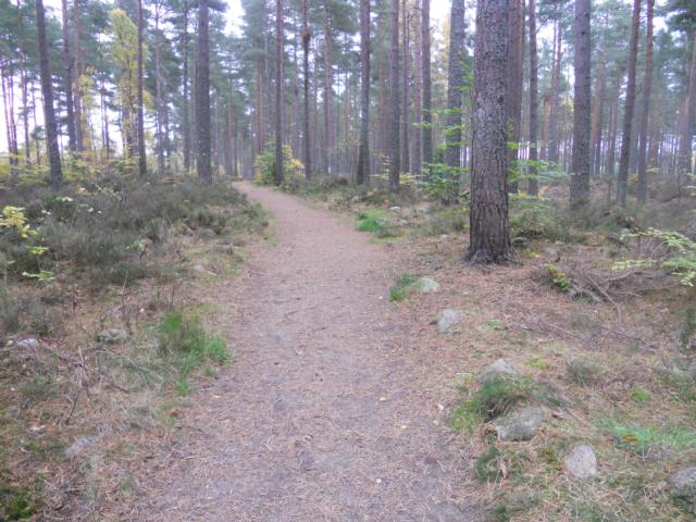
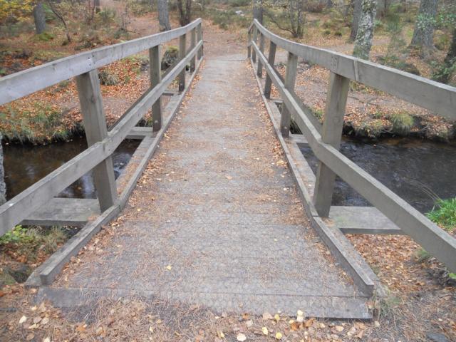
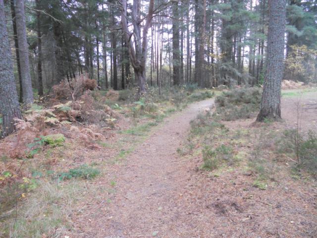
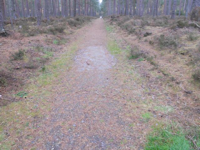
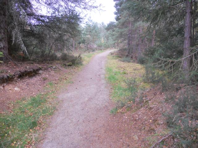
The forest walks in Monaughty pass through some magnificent Douglas fir and Scots pine and provide spectacular views out to the Moray Firth. Pluscarden Abbey is nearby and is also worth a visit. It is the only medieval monastry in Britain inhabited by a working order of Benedictine monks. The all-ability trail contains a few gradients that some visitors may find limiting. However, the trail has lots of seating and contains a lovely spot down by the Black Burn Bridge.
| OVERALL RATING: GREEN | ||
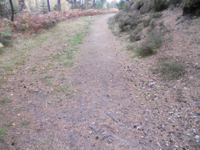
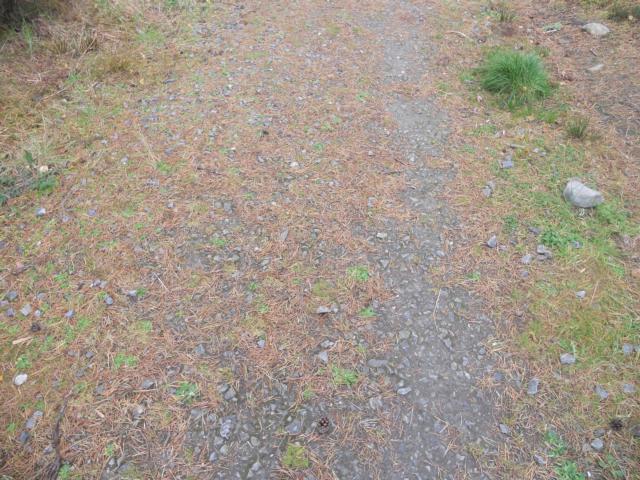
| Path Surfaces: | ||
| Maximum Climbing Gradient: | 1 - GREEN | 4% |
| Maximum Descending Gradient: | 1 - GREEN | -4% |
| Total Elevation Gain: | 21 metres | |
| Distance: | ||