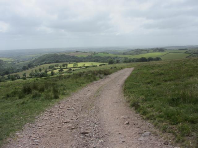
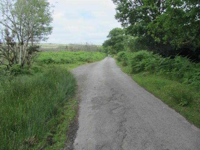
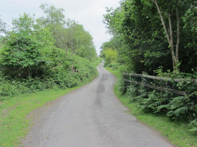
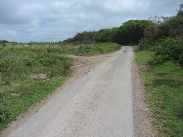
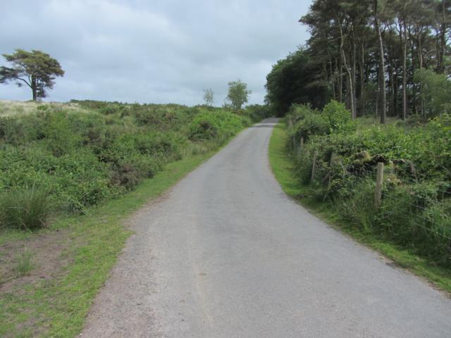
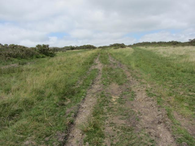
Walk over open common land on southern edge of Exmoor using track, footpath and little-used metalled lane. Slopes are quite gentle with some long fairly level stretches. Fine views over wooded combes and across Devon towards Dartmoor. Walk just over 5km. Many minor variations possible as there many paths and pony trekking trails not all marked on map.
| OVERALL RATING: RED | ||
| Path Surfaces: | ||
| Maximum Climbing Gradient: | 3 - ORANGE | 11% |
| Maximum Descending Gradient: | 4 - RED | -14% |
| Total Elevation Gain: | 101 metres | |
| Distance: | ||


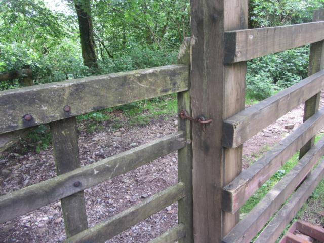


. This is second from road.")