Route Filmstrip & Description
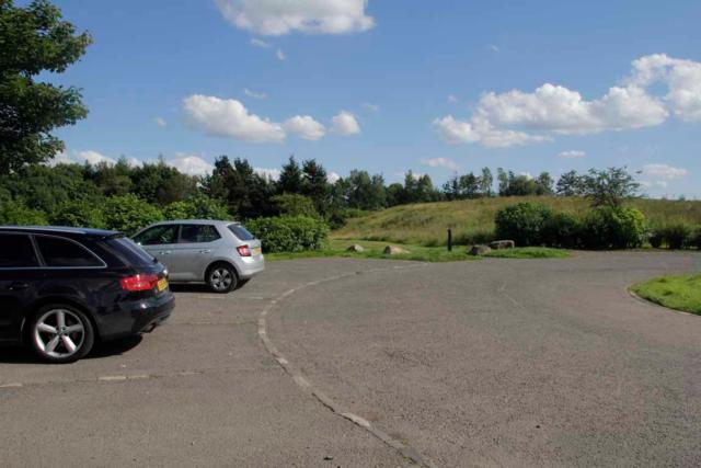
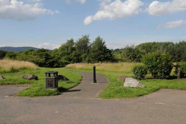
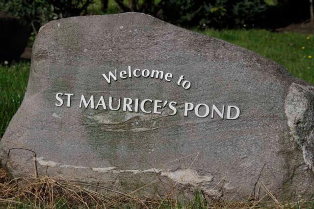
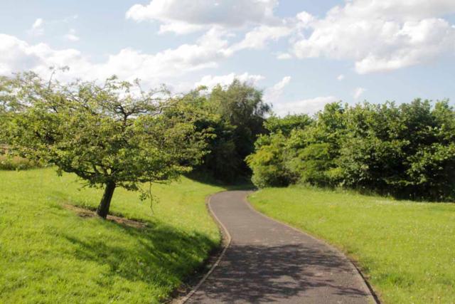
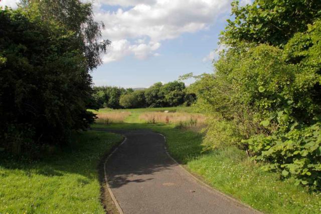
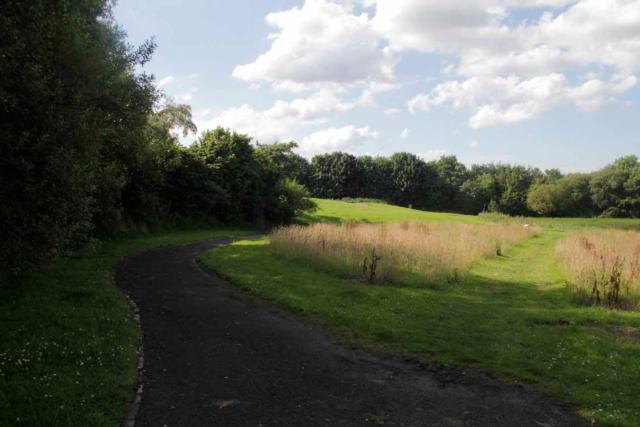
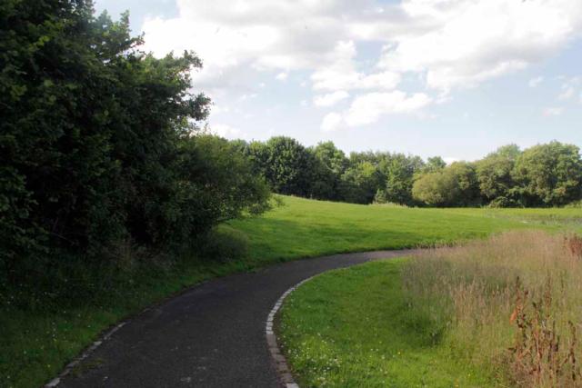
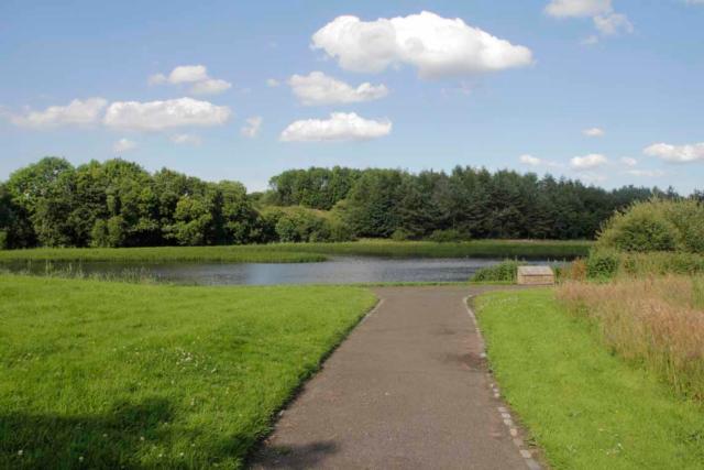
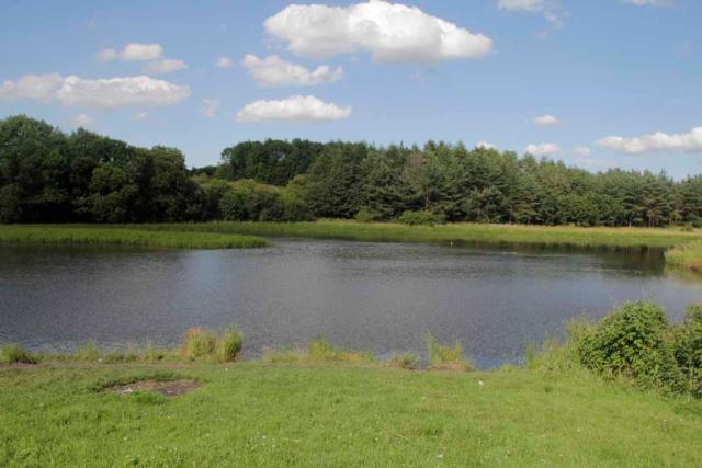
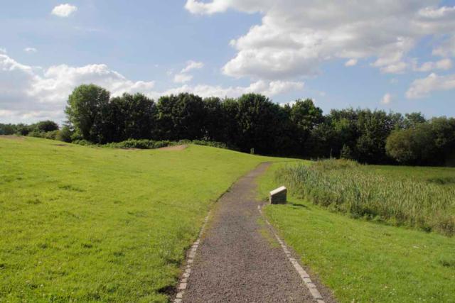
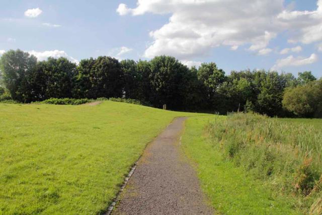
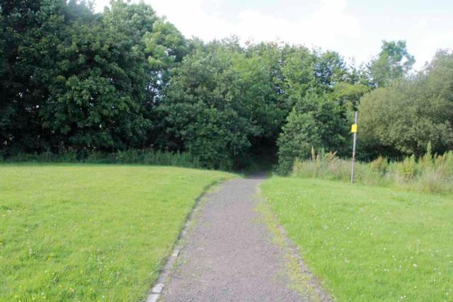
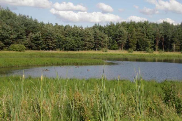
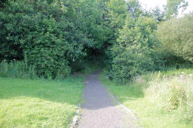
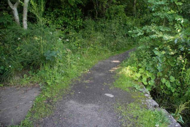
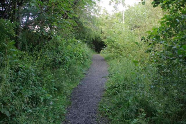
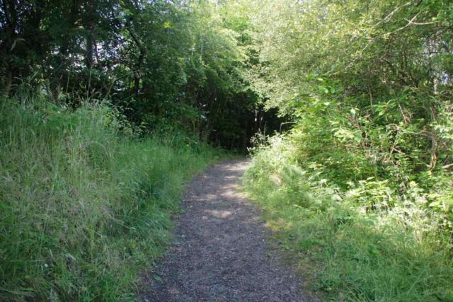
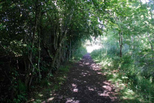
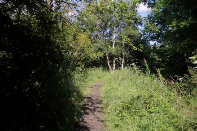
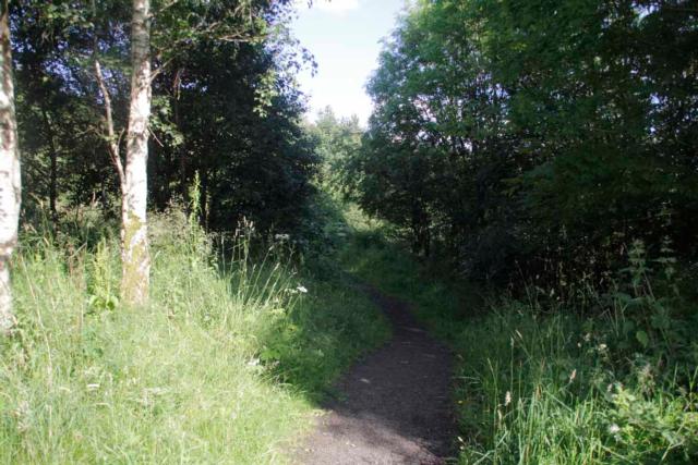
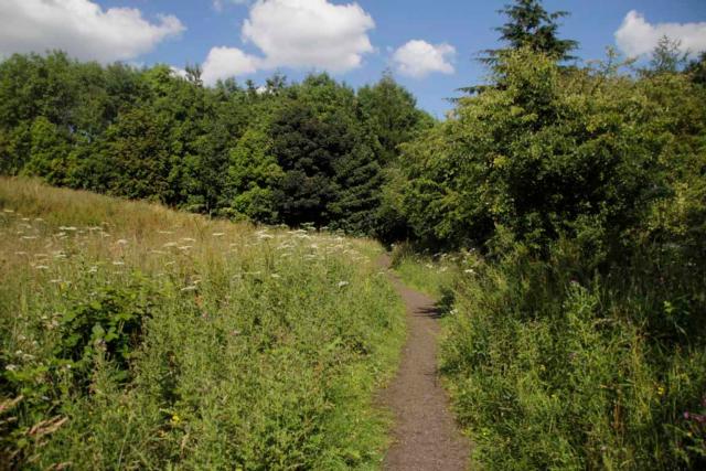
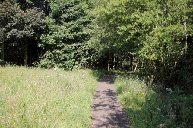
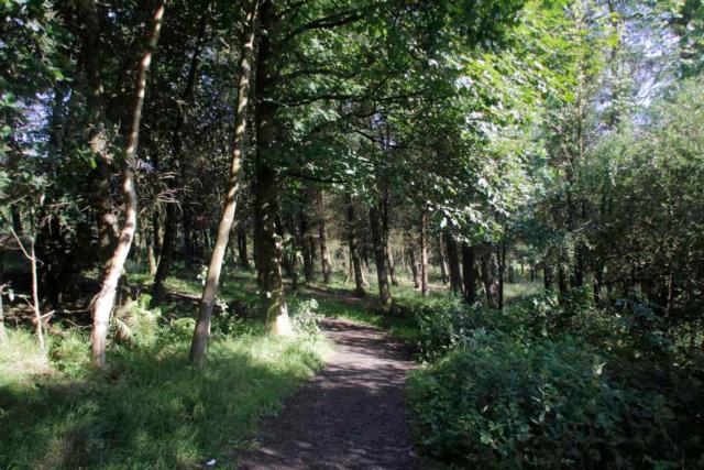
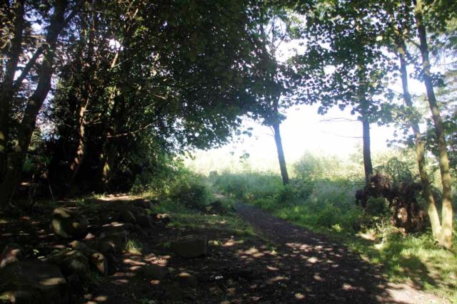
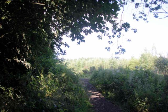
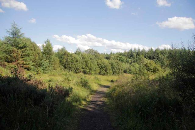
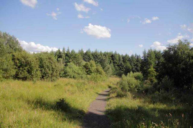
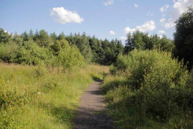
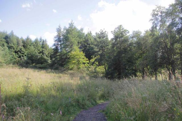
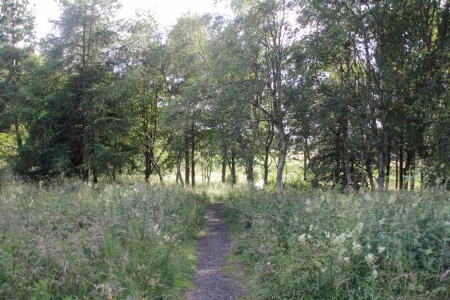
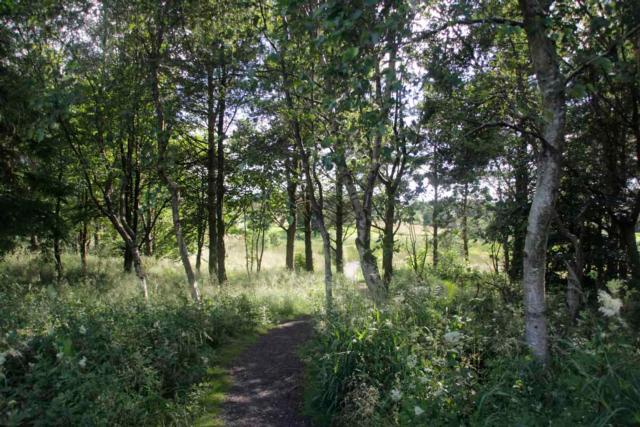
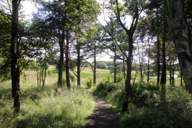
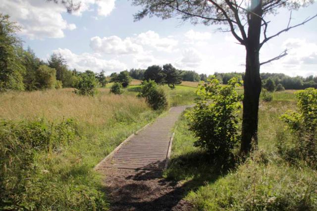
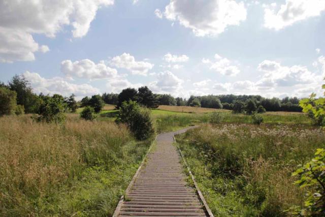
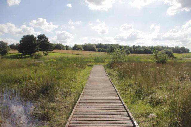
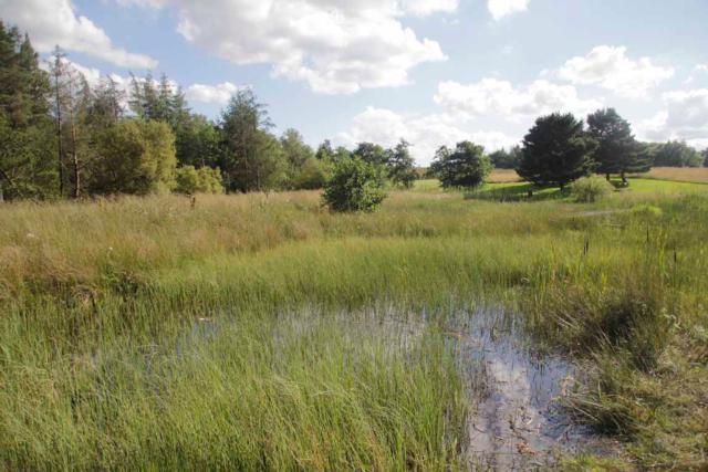
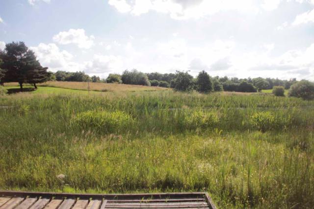
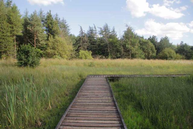
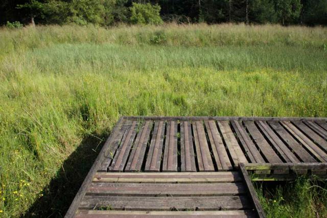
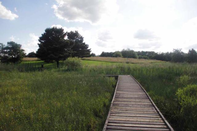
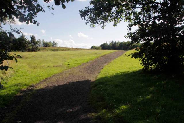
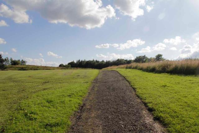
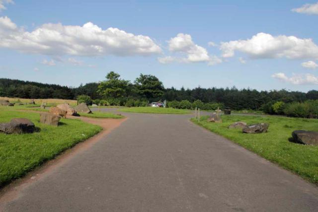
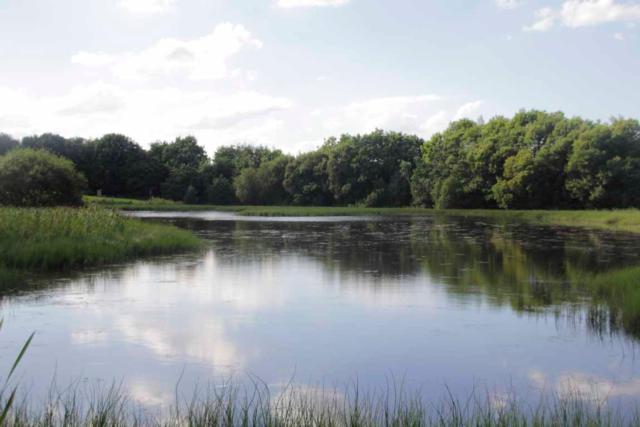
Circular walk around St Maurice's Pond. The pond is a Site of Importance for Nature Conservation with areas of reedbed, open water, mixed woodland, parkland, wildflower meadows, orchid meadows and orchard. Cumbernauld Living Landscape has a Wild Walk around the site encouraging the public to record wildlife in the area. great site for waterbirds, wildflowers, butterflies and dragonflies. Path is comprised mainly of loose gravel and is approx 1.8 metres wide for much of it's length, though it does narrow slightly in places. There is one steep uphill section on the anti-clockwise section, however taking the path clockwise eliminates this as the slope in that direction is almost imperceptible (though you still have to come down it!). there is a boardwalk section over the pond.
Surveyed by: Paul Barclay, July 2016
(Summer)
Accessibility Rating: 2
Distance: 0.9 km
Car Park: Small car park for approx 20 cars but very lightly used. No dedicated disabled bays but existing bays are widely spaced.
Steps: No
Barriers: No
Toilets: No

Wild Walk St Maurice's Pond Phototrail
Map Markers
The route is shown as a red line. You can show or hide the types of points indicated on the map using the checkboxes below.
Show All Trail Points | Show No Trail Points | Show Summary
Accessibility Info | Amenities Info | Facilities Info | Features Info | Way Finding Info | ||||||||||||||||||||||||||||||||||||||||||||||||||||||||||||||||||||||||||||||||||||||||||||||||||||||||||
---|---|---|---|---|---|---|---|---|---|---|---|---|---|---|---|---|---|---|---|---|---|---|---|---|---|---|---|---|---|---|---|---|---|---|---|---|---|---|---|---|---|---|---|---|---|---|---|---|---|---|---|---|---|---|---|---|---|---|---|---|---|---|---|---|---|---|---|---|---|---|---|---|---|---|---|---|---|---|---|---|---|---|---|---|---|---|---|---|---|---|---|---|---|---|---|---|---|---|---|---|---|---|---|---|---|---|---|---|---|---|
|
|
|
|
|
A map of the route is shown above -
- click on any marker point to view a photograph and the description of that point
- to zoom in or out use the navigation tool on the top-left of the map
- click and drag to change the centre of the map
- you can change to map/terrain/satellite/hybrid (satellite + map) views using the control on the top-right of the map
Route directions are shown below the map.
- Click on any marker icon in this list to highlight that point on the map and show a photo of that spot.
Got something to say about this Phototrail? Let us know!
Vertical Profile
This is an approximate vertical profile with samples taken at 100m intervals along the trail.
