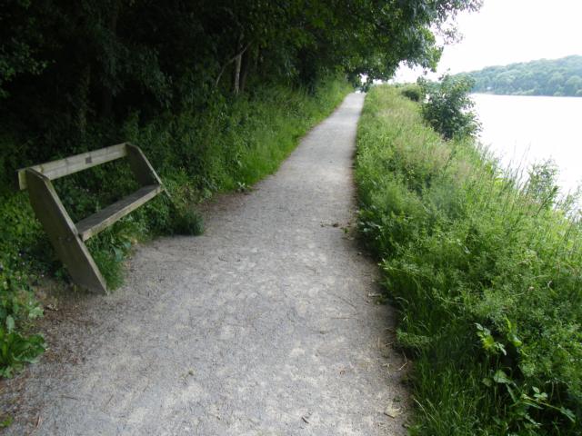
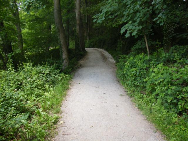
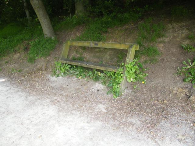
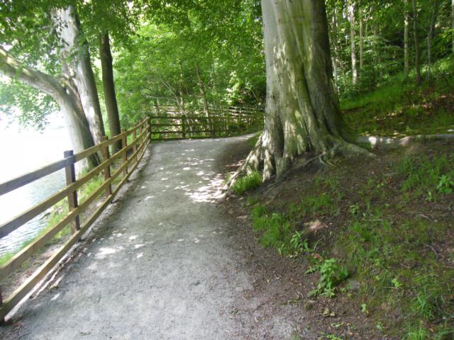
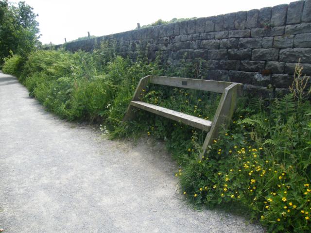
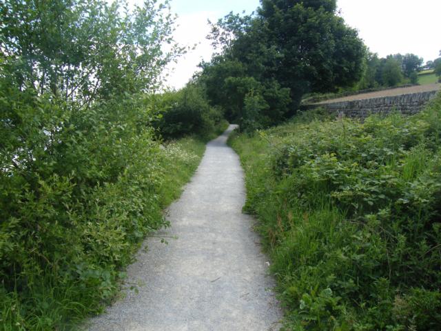
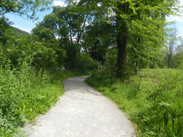
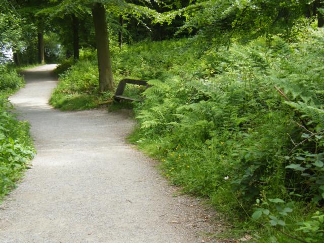
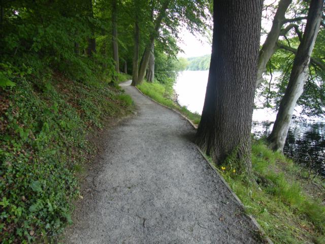
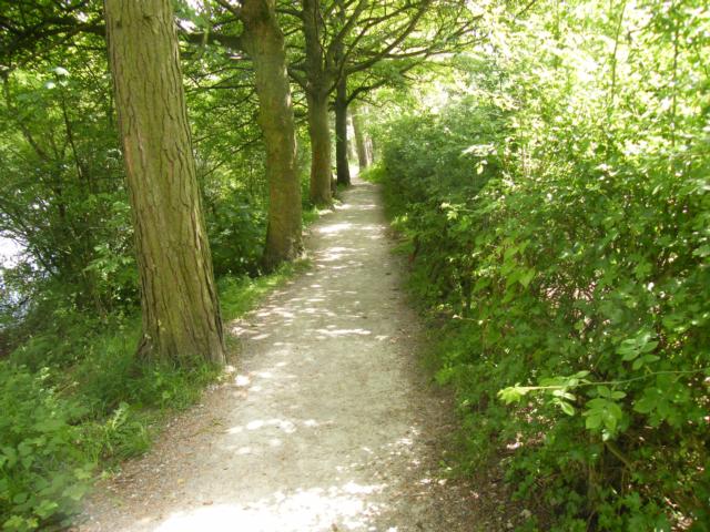
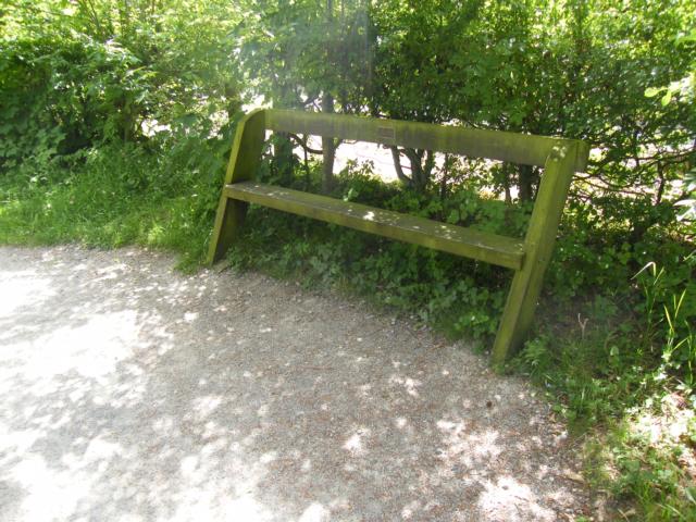
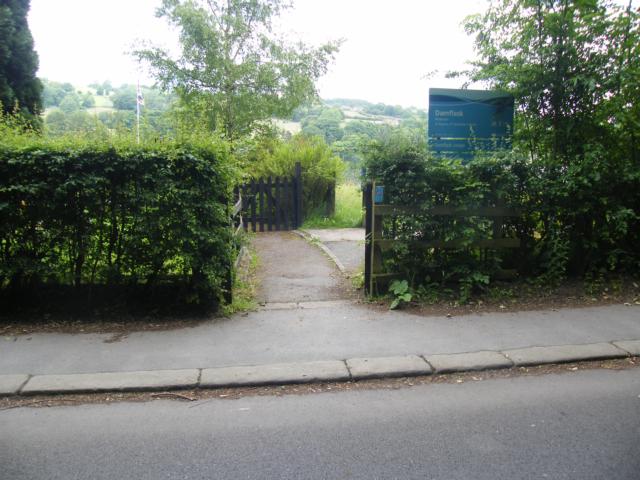
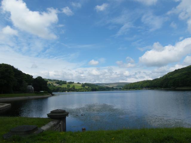
A walk closely following the banks of Yorkshire Water's Damflask Reservoir on the north eastern edge of the Peak District. At the beginning of the route there is a tactile map of the reservoir, which helps with orientation and way-finding. The route was travelled in an anti-clockwise direction. This route is 3.5 miles. The walk, on two occasions, changes onto quiet country roads (one section with pavement, one without), but otherwise is confined to a good firm, crushed limestone surface generally over 2 meters wide. Much of the route is lightly wooded but there are also fine views in one direction towards Bradfield Dale and in the other towards Sheffield. Much of the route is level, but there are some gradients steeper than 1:8 - see the tactile map at the New Road entrance, for the level path option.
| OVERALL RATING: GREEN | ||
| Path Surfaces: | ||
| Maximum Climbing Gradient: | 1 - GREEN | 2% |
| Maximum Descending Gradient: | 1 - GREEN | -3% |
| Total Elevation Gain: | 62 metres | |
| Distance: | ||


")


 upward gradient at 1:6")