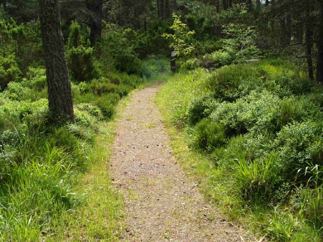
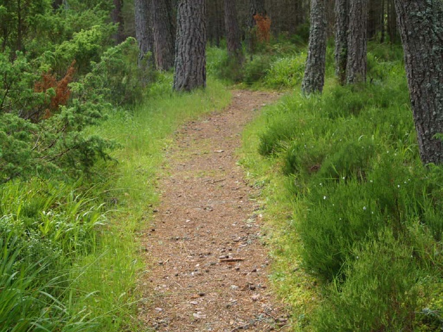
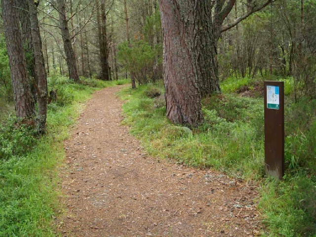
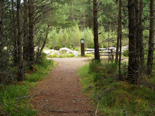
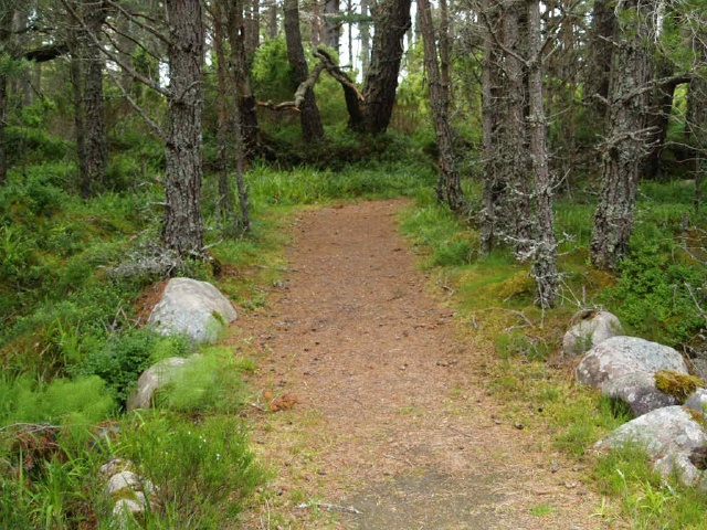
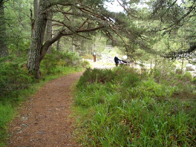
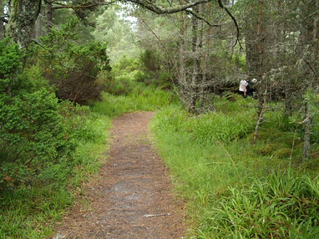
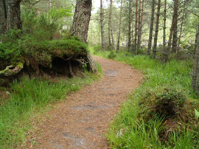
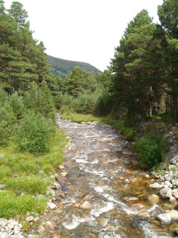
This 400m loop is on a good surface with a couple of resting points along the way. It may not be wide enough for two people to walk side by side in some places.Information about the forest environment is provided along the way and there are two pleasant picnic areas by the river.The car park is at Ordnance Survey Grid Reference NH983087
| OVERALL RATING: BLUE | ||
| Path Surfaces: | 1 - GREEN | |
| Maximum Climbing Gradient: | 2 - BLUE | 6% |
| Maximum Descending Gradient: | 1 - GREEN | -2% |
| Total Elevation Gain: | 26 metres | |
| Distance: | ||


.")