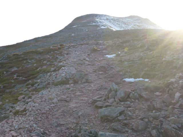
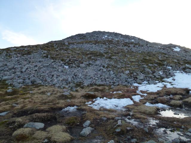
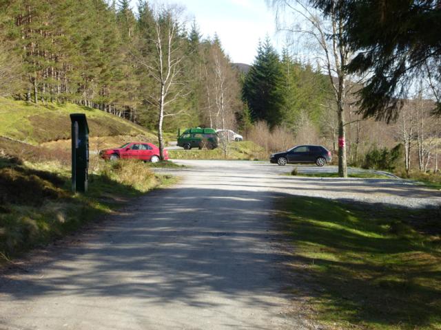
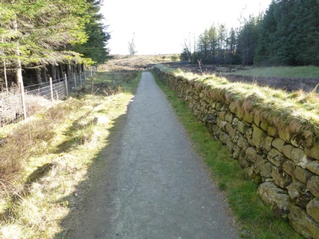
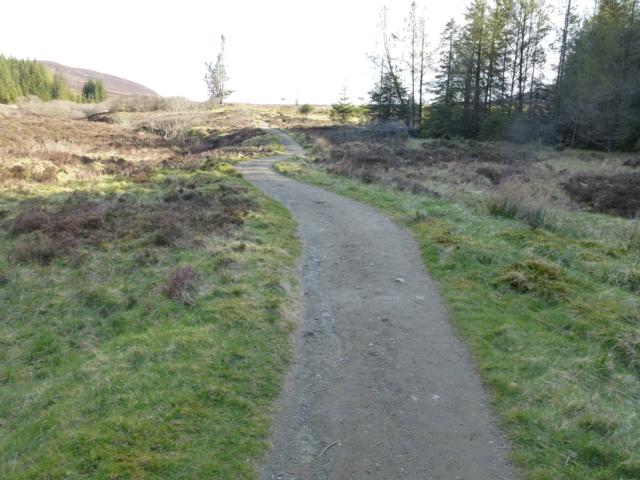
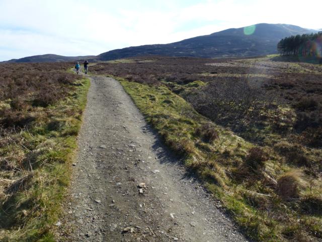
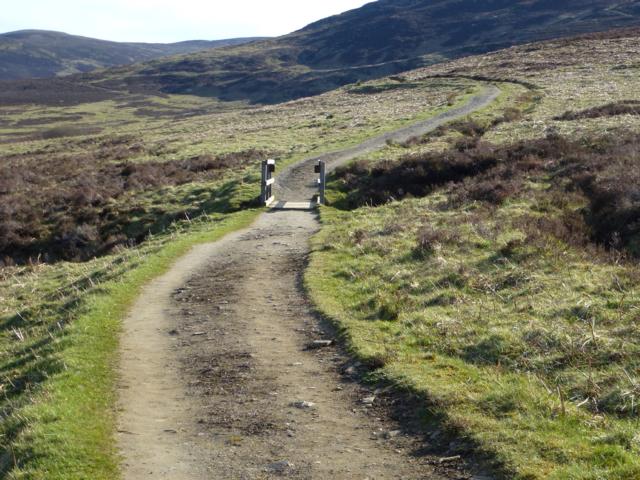
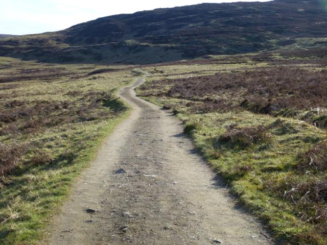
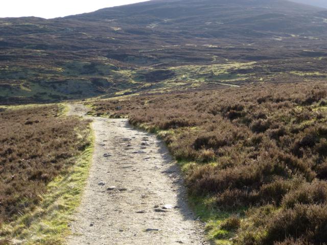
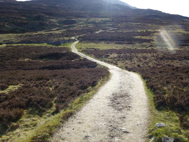
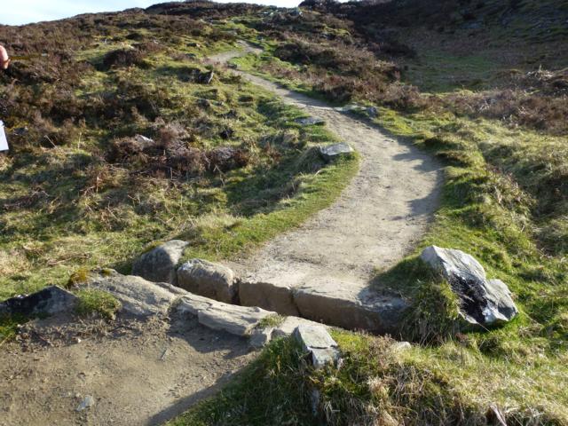
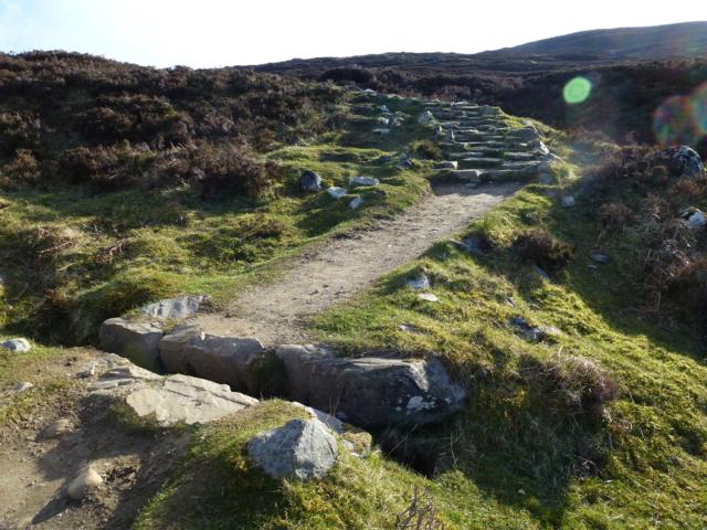
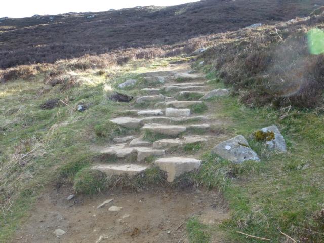
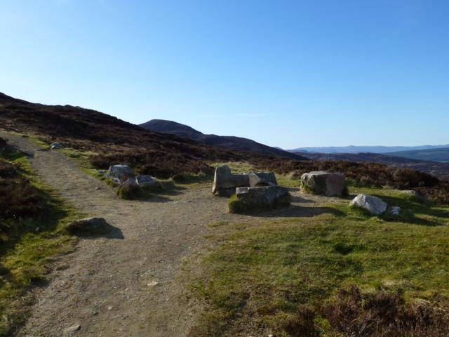
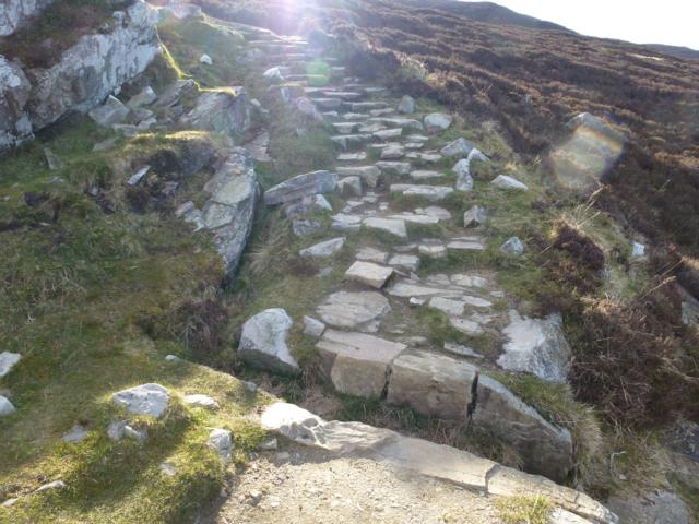
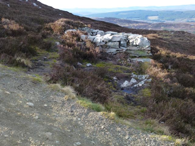
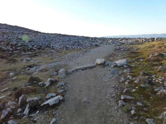
Starting from the Forestry Commission car park at Braes of Foss, this route goes South to a former sheep fank, before turning west up towards the summit ridge of the mountain. This route is the built section of the path up Schiehallion (the Fairy Mountain). The first part of the route follows a constructed aggregate path on average 1.6m wide for 1.032km until a former sheep fank is reached. This section has all drainage features below the path and is largely 3 degrees gradient apart from one section of 65 metres at 8 degrees gradient. There is a slight central camber but no cross gradient. From the sheep fank the built path goes 2.40 km until the rocky summit ridge is reached. The path is built with aggregate interspersed with stone pitching (1 m up to 15m long) and includes stone cross drains and water bars for surface drainage. The gradient ranges from 10 to 30 degrees with occasional cross gradients. The final section to the summit ascends 200metres over 1.5km with a barely discernable route over a broad rocky ridge . This part of the hill is particularly exposed to the elements and can be subject to severe and adverse weather conditions which could make navigation difficult.
| OVERALL RATING: BLACK | ||
| Path Surfaces: | ||
| Maximum Climbing Gradient: | 5 - BLACK | 26% |
| Maximum Descending Gradient: | 1 - GREEN | -1% |
| Total Elevation Gain: | 707 metres | |
| Distance: | ||


.")


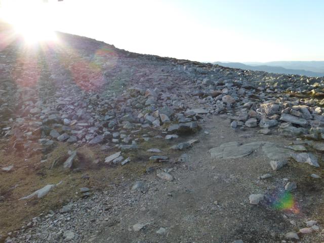
 the route to the summit ascends 200metres over 1.5km with a barely discernable route over a broad rocky ridge.")