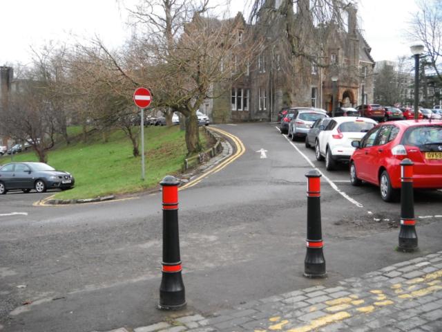
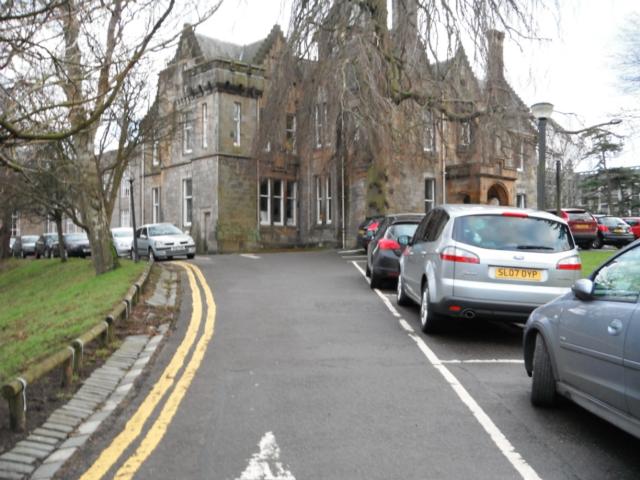
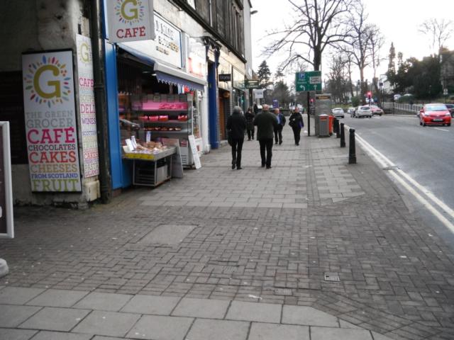
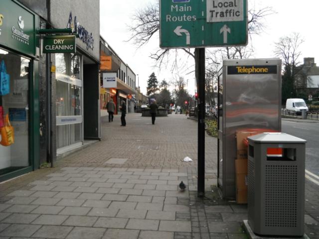
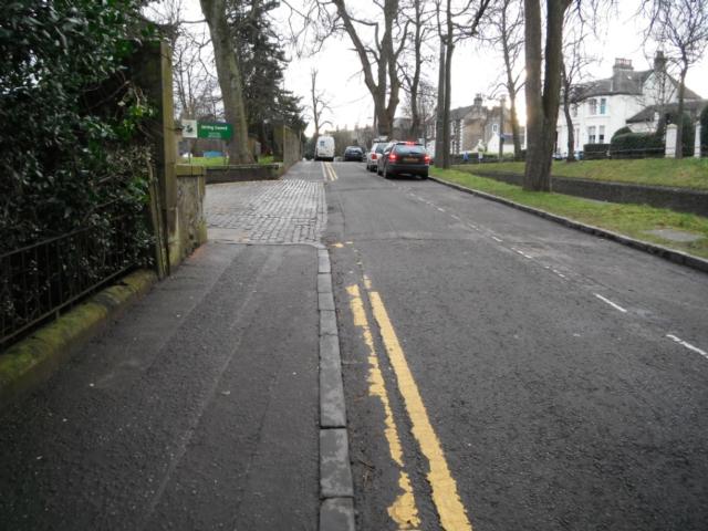
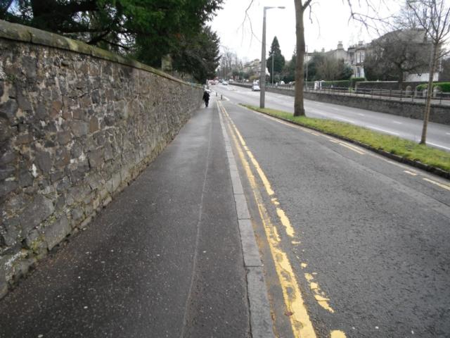
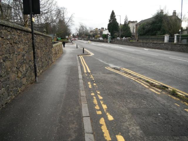
This route is designed to help people get from Stirling train station to Stirling Council Headquarters at Viewforth. The route passes through the city centre along pavements and pedestrianised areas. There are plenty of cafes, shops and places to sit along the way. This route is best used on foot but could be cycled. There are controlled pedestrian crossings at all road crossings with dropped kerbs and tactile paving. There are no obstructions and it is a gentle uphill gradient for most of the way.
| OVERALL RATING: BLUE | ||
| Path Surfaces: | ||
| Maximum Climbing Gradient: | 2 - BLUE | 6% |
| Maximum Descending Gradient: | 2 - BLUE | -5% |
| Total Elevation Gain: | 32 metres | |
| Distance: | ||


.")
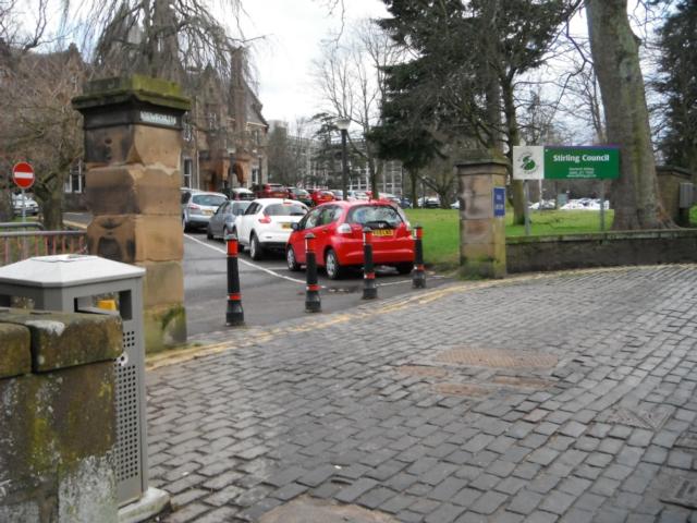
. There is visitor and disabled parking at the main entrance. Speak to reception on arrival to organise a parking permit.")